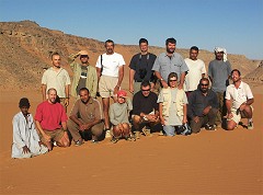
 Click on image for list of participants |
Jebel Uweinat - Gilf Kebir Expedition, Egypt 16th October - 2nd November, 2004 |
Day 1. - Cairo - Dakhla
The first day was the usual eventless drive to Dakhla Oasis, spending the night at the Hotel Mebarez. What a surprise - the hotel had been renovated over the summer, all rooms have a Barbie pink new bathroom, with sinks that actually flush ! It was still Ramadan, so we waited till after Iftar to fuel the cars and top our supplies for the early morning start.
Day 2. - Dakhla - camp near crater GKCF13
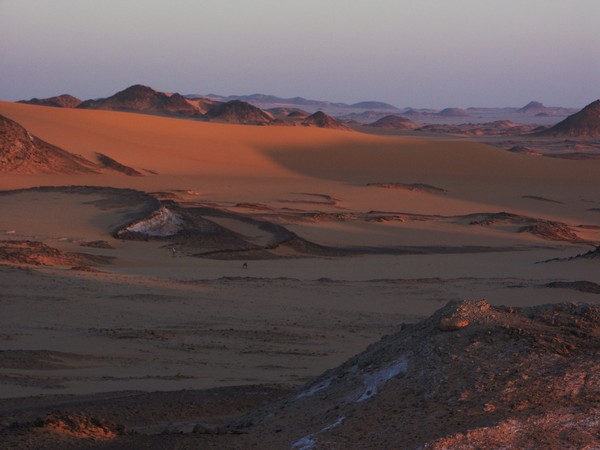
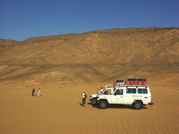
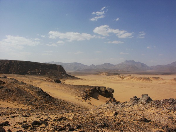
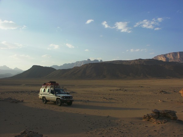
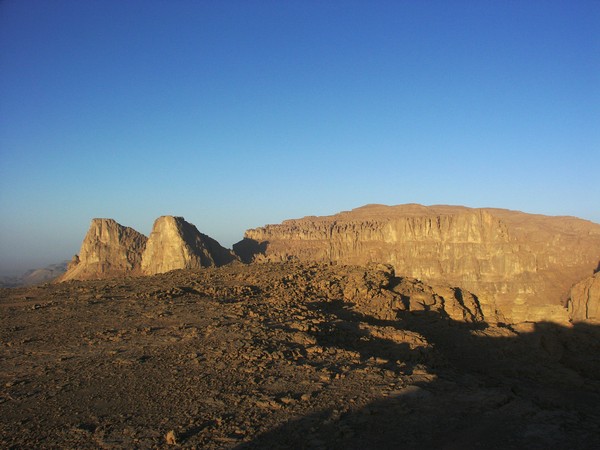
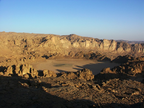
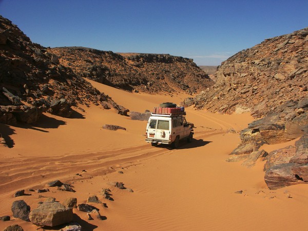
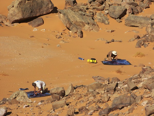
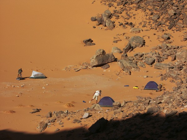
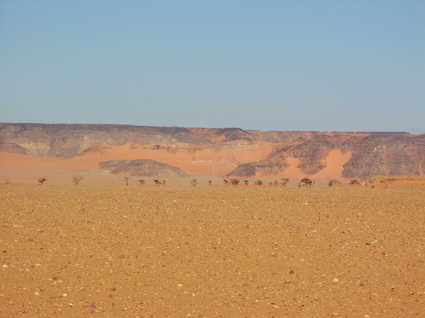
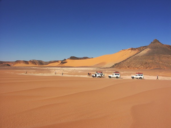
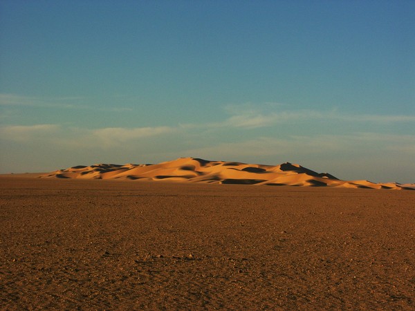
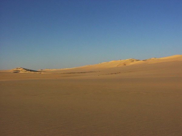
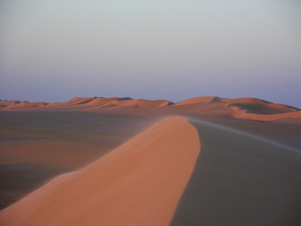
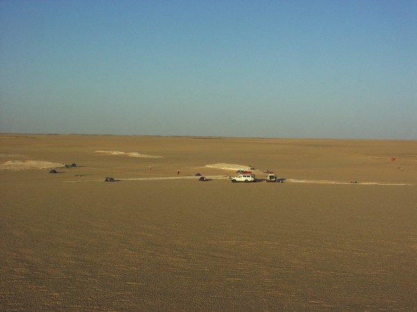
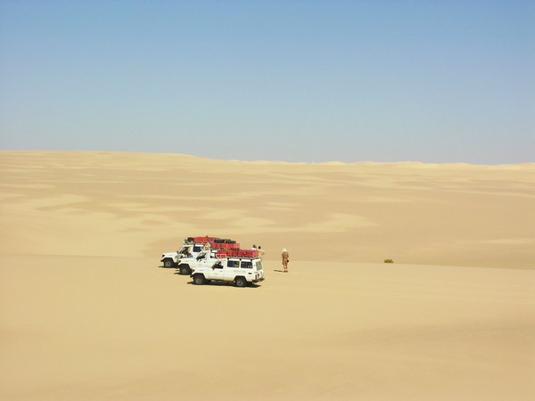
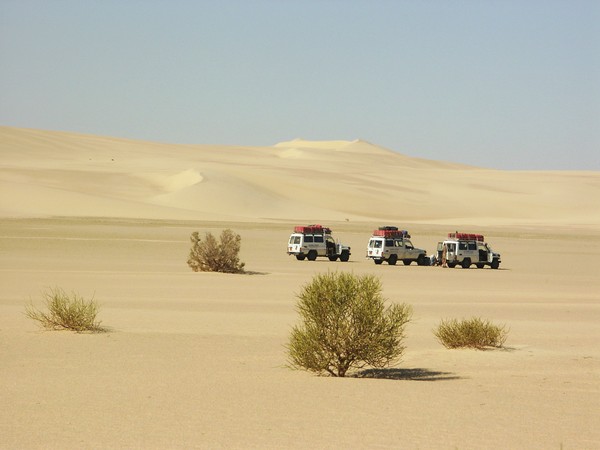
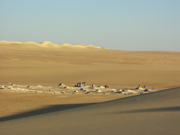
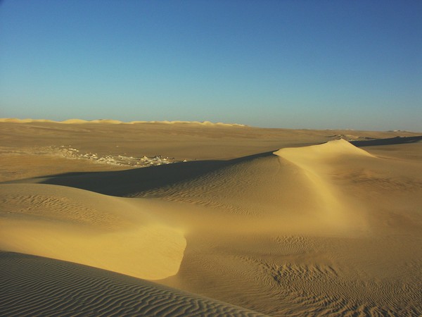
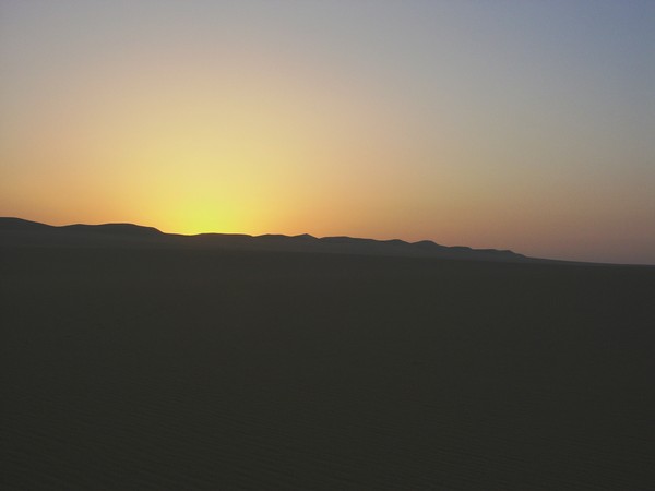
Our objective for the evening was to reach the largest (and most accessible) of the crater field recently announced by Philippe Paillou and his team. After the long 300 km drive south along the road south from Dakhla, we turned off to cross the Selima Sand Sheet. After a brief lunch stop at the Abu Hussein dunes, we continued towards the foot of the scarp running east from the foot of the Gilf. We made camp at sunset a few kilometres from the crater.
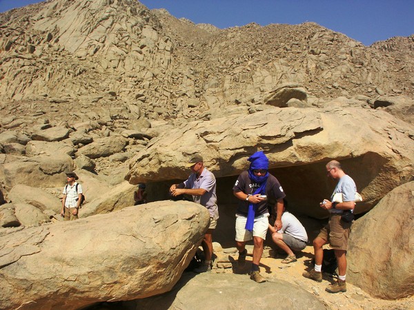
Day 3. - GKCF13 - Eight Bells - Shaw's Cave - Karkur Talh
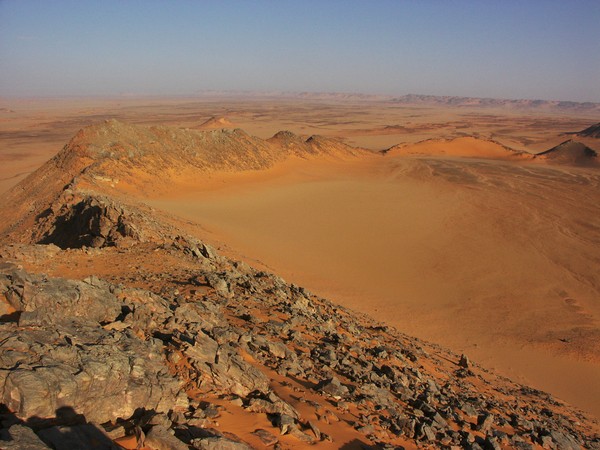
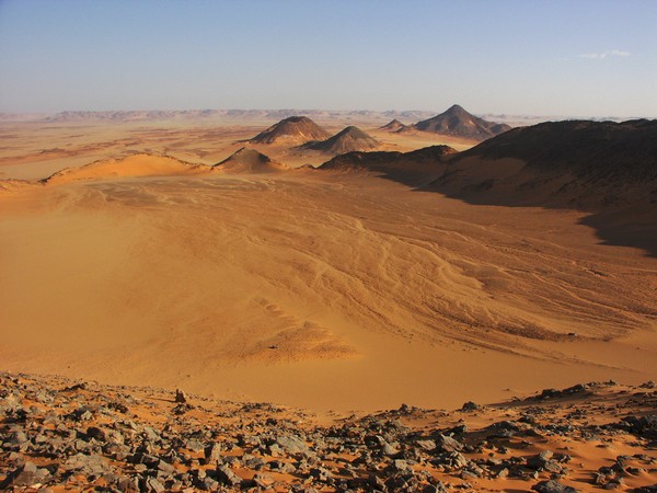
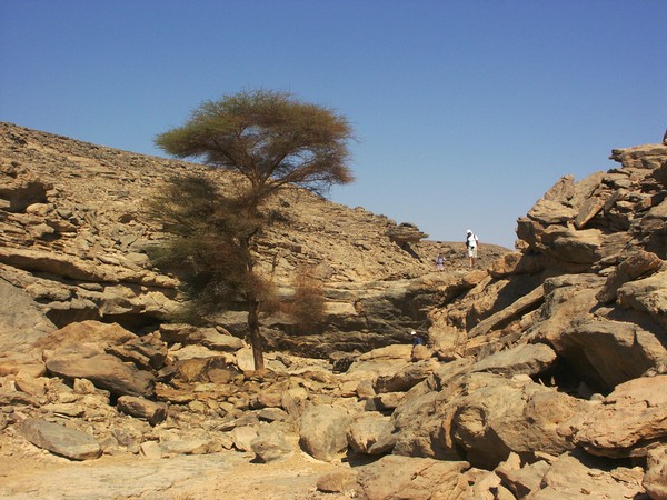
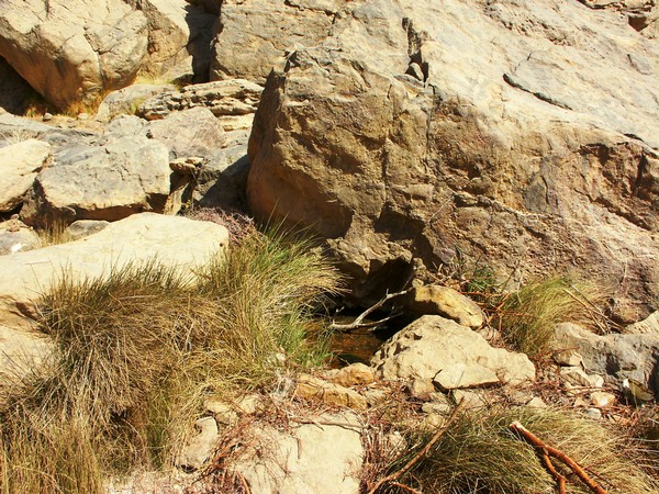
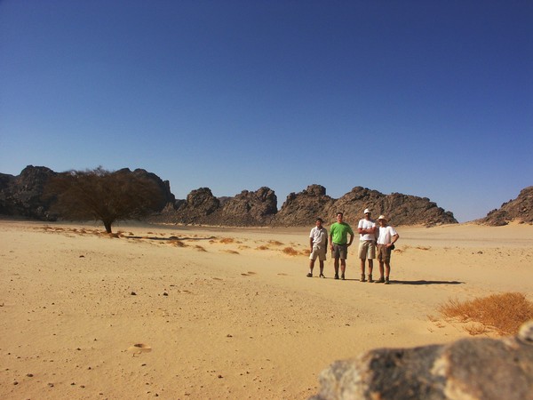
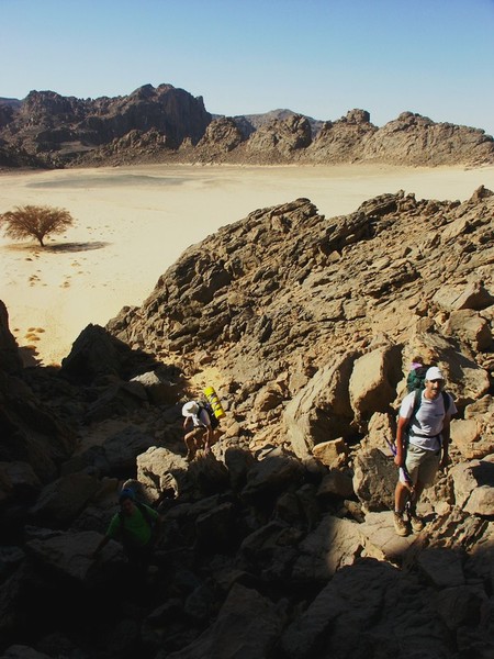
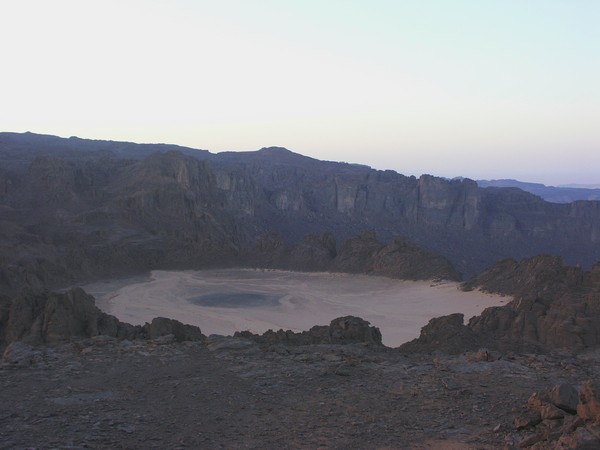
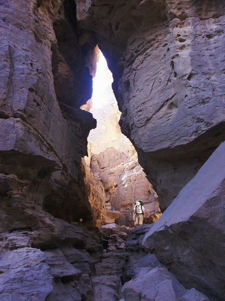
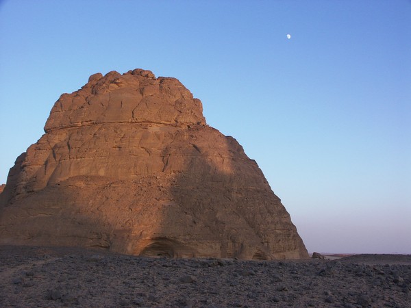
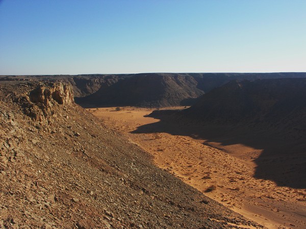
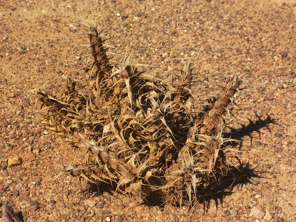
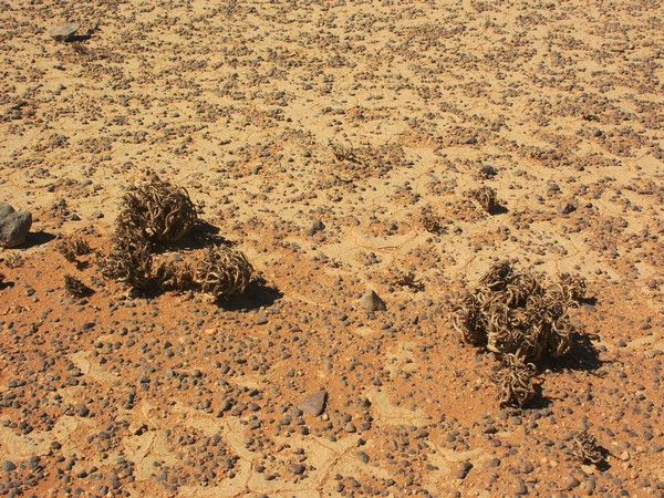
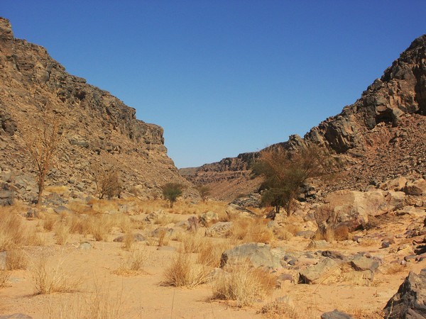
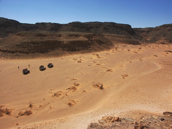
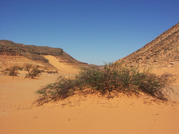
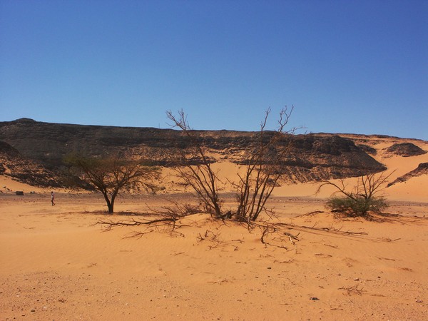
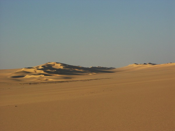
We explored the crater in the morning. It was a near circular bowl shaped depression with steep outer walls, superficially similar to some of Clayton's Craters, however some differences were readily evident. The sandstones around the rim were all horizontally bedded, dipping slightly inwards, unlike the vertically upturned and heat-fused walls of craters of volcanic origin. Inside the walls we also noted a layer of brecciated sandstone, however the purplish sandstone fragments all appeared rounded and having a brownish crust, unlike sharp angular pieces expected from an impact breccia. From what we could establish, the crater was certainly not of volcanic origin.

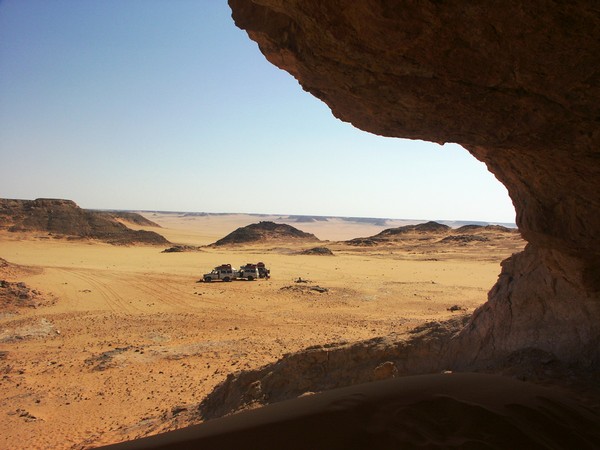
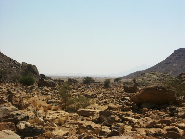
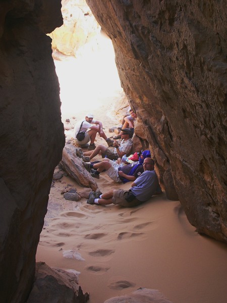
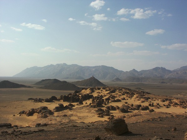
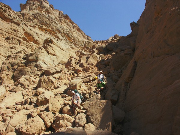
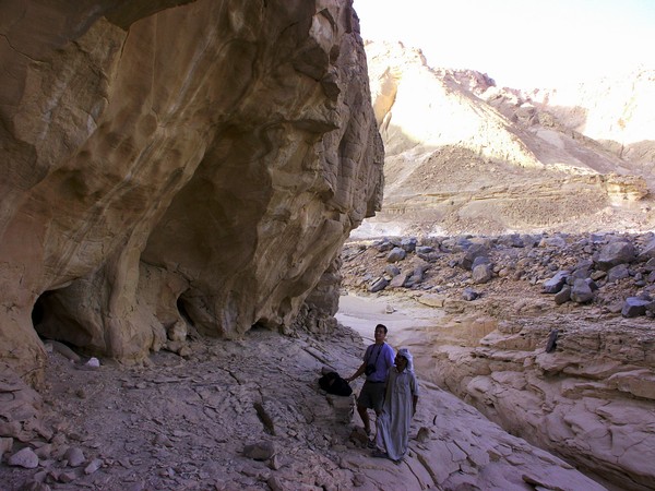
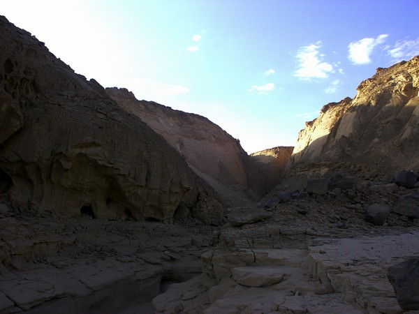
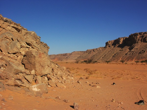
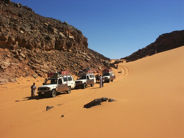
After exploring the crater we continued towards the southern Gilf Kebir, our first objective being a wrecked SDF Ford pickup seen in March 2002 near the narrow dune belt running along the eastern Gilf. We did come accross a SDF campsite, but despite a long search in the general area, could not relocate the wreck (I stupidly forgot to note the exact position last time). We continued to Eight Bells aerodrome, then to Shaw's Cave in Wadi Firaq, then pushed on towards Uweinat, reaching our campsite at Karkur Talh after sunset.


Day 4. - Karkur Murr
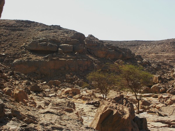
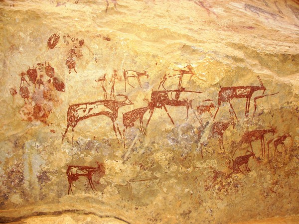
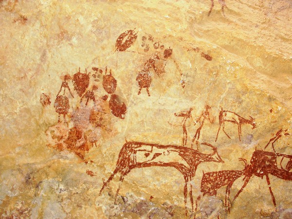
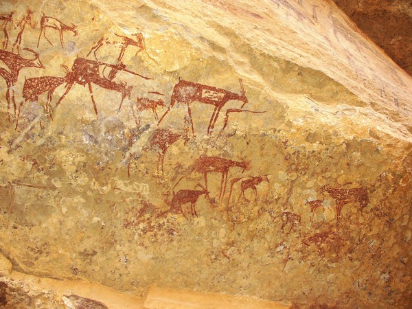
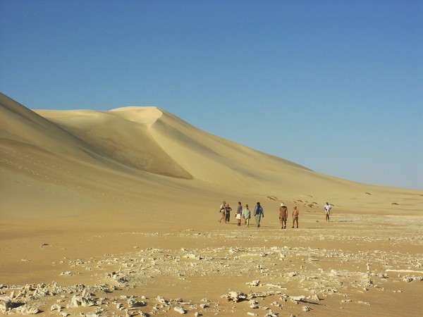
In the morning we set out for a full day trek to Karkur Murr, stopping at Winkler's Site 81 along the way. We made our way over the divide, then down to the upper reaches of Karkur Murr, stopping at the rock art sites along the upper valley, till reaching the spring by the big rock. The valley was notably dryer than this past March, when there were severl little pools beyond the spring, and water seeping out of the ground. Now all was dry except for the spring itself.

A part of our group continued down the valley to the mouth, where the wadi drains out to the open plain. It was a steep descent, the upper spring proved to be a good 100 metres higher than the wadi mouth. The descent was over large rock boulders, at the foot of which there is another spring and abundant green vegatation.

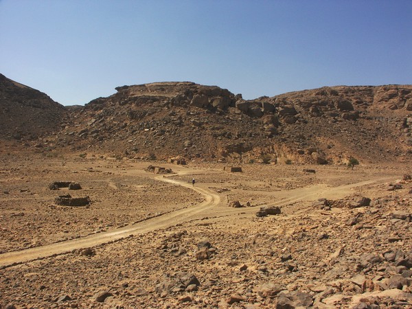
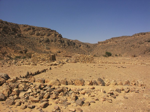
Out on the plain the little stone huts of the 1934 SDF campsite were clearly visible. We walked out to them, each hut proved to be in perfect condition, just the thatch roof missing. From a high point it was possible to see that very little has changed since F.G.B. Arkwright took his photos 70 years ago.
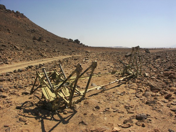
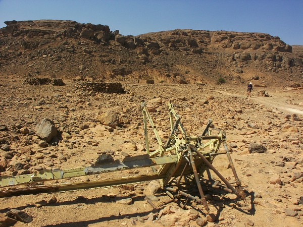
A little beyond the huts we came accross the meagre remains of a wrecked aircraft. Only the main wing spar and engine mounts remain, it had been stripped by nomads and more recently libyan poachers of all useable bits. However from a few characteristic clues it was possible to identify it as a Bristol Blenheim Mk.IV., a sister ship of the three ill fated SAAF Blenheims. This did ring a bell, sure enough on returning home I've found a clear reference to this wreck in Capt. Dubois' 1942 diary, translated and sent to me by Alain Godec:
3 June
Departure at 5h00 as usual. Almost everyone shaved and changed. We expect to find a post, a few British, water, and rest a bit there. I go a little too much East. At 9h30, I come to the track going to Selima, some 30 miles away from the post. All the convoy is behind me. As it is necessary to leave petrol and replenish in water, I leave with two trucks full of empty barrels. At 12h00, we find the post in a cul-de-sac. What a post ! 3 or 4 shacks of stones. Not a soul in sight. Some weed in between the rocks. When it rains, the water must run down the Gebel. It must not have rained for a long time. In the rocks we find some water. That gives us 250 liters. What remains is just enough for a lost thirsty soul. A Blenheim with a red Cross of Lorraine (N°N3624) crashed against the walls (of the Gebel). One lost from Kufra. No pause. At 16h00, we get back to the convoy with grim faces. The native troops wonder if the Whites are not taking them to their death. I decide to make here the petrol depot of 64 barrels of gasoline.

(In the mean time I have uncovered some more information on this wreck, for details visit the March 2013 expedition page.)
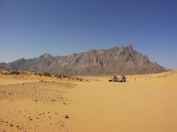
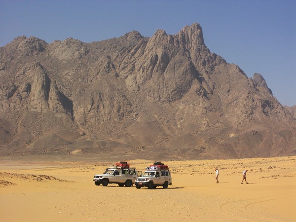
Day 5. - Jebel Kissu - South Uweinat
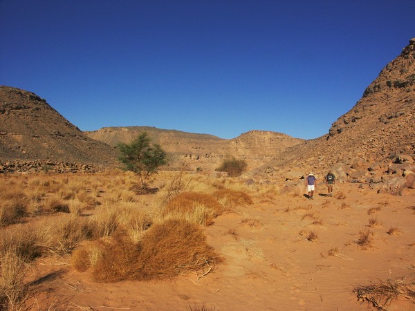
After the strainous trek the day before (we've walked about 18 kilometres) We took an easier day, driving south to Jebel Kissu to visit the rock art sites discovered by F.G.B. Arkwright in 1934, and ourselves this past March.
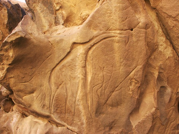
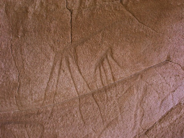
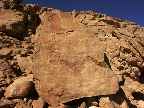
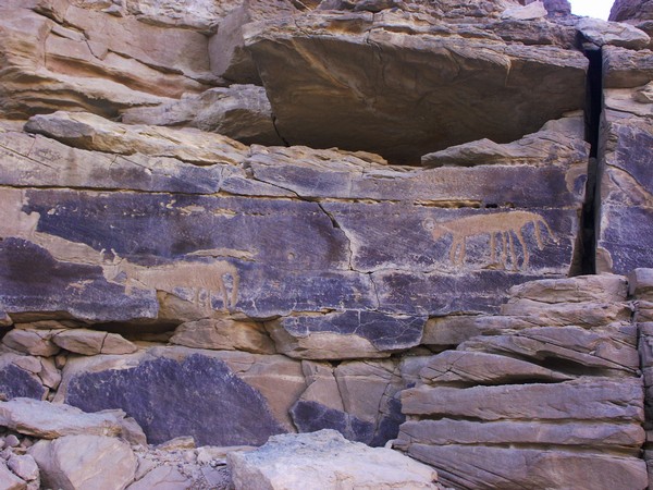
For the afternoon we returned to the south of Uweinat, to a prominent round sandstone hill named "Man Rock" by Bagnold, to look for some rock art sites reported by Jean-Loïc Le Quellec. We did find some of the sites, as well as a new shelter with engravings, including a rather curious scene of a giraffe hunt in a style quite alien to Uweinat, more reminescent of central Saharan rock art.
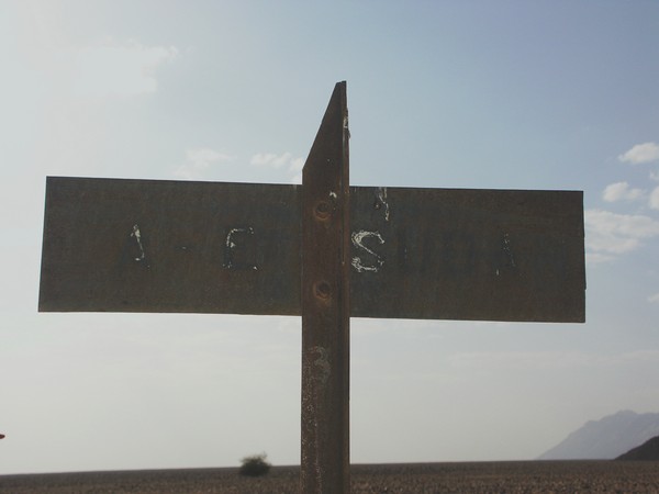
Just behind "Man Rock" we noticed a row of porder posts. We approached one of them, and they turned out to be the original border markers placed there in 1934 following the settlement of the Sarra dispute. One side says Libia (Italian spelling), the other A.E. Sudan (Anglo-Egyptian Sudan).


On our way back to Karkur Talh camp we visited another area along the south of Uweinat, where Jean-Loïc Le Quellec found further paintings and engravings in 1998.


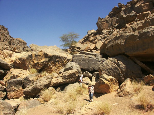
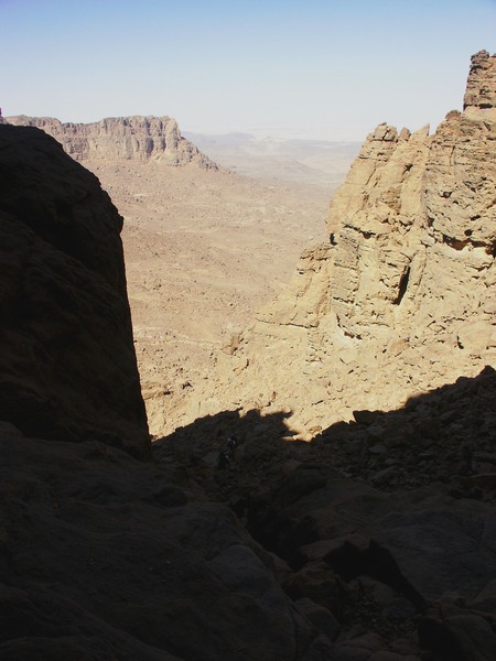
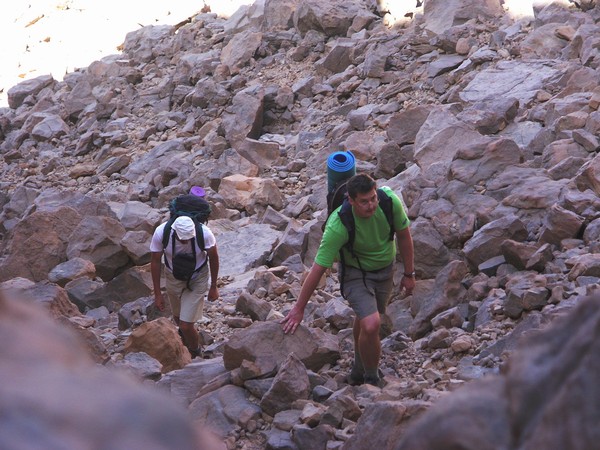
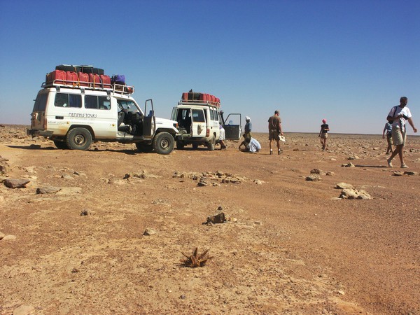
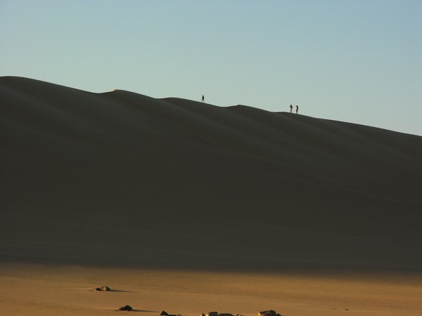
Day 6-7. - Ascent of the Hassanein Plateau
Early next morning we all set out to the upper reaches of the south branch of Karkur Talh to see the group of rock art sites found in February 2003. There we made a water depot, and a small group consisting of Attila, Gábor, Kent and myself continued to climb the Hassanein Plateau, while the rest of the group returned to the main valley to spend the next day visiting the sites there. The day was not the best suited for the climb. It was very hot, but what was more unusual, the air was completely still, not even the slightest breeze. It was a very long climb, pausing every ten minutes for a break, consuming a good bottle and a half of the four carried on our backs till finally we made it up to the "White spot".

We made camp in the valley beyond the "white spot", then climbed up further to see the huge shelter with paintings we discovered this past March. Not surprisingly we found a new panel hidden under a low ledge that we completely missed during the last visit.
At dusk we climbed the high spot above our camp for the amazing view that somehow magically ereases the memory of the gruesome climb just a few hours earlier.

Sunrise found us again on the same high spot, then we continued west accross the plateau, and descended into the large second valley where we found several sites with Salama this spring. Our aim was to explore further west, as satelite photos indicated several other valleys. With Kent we did manage to go about a kilometre beyond the known valley, however time was running late, and we had to start our descent, we could only take a glimpse of the very broken country beyond. Some other time it will take two full days in cooler weather to explore these parts.

We made our way to the rocky ravine which offers the only other alternative route down, and slipping and scrambling from boulder to boulder we made it down to our water depot by the paintings in the wadi by mid-afternoon. After some quick photography at the sites we returned to our waiting car for sunset.
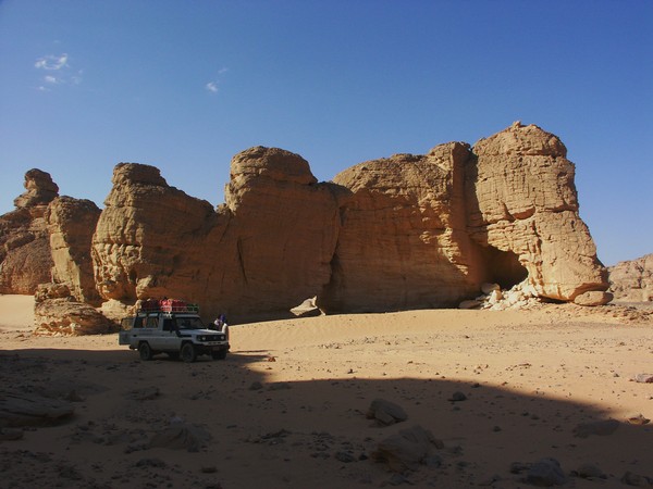
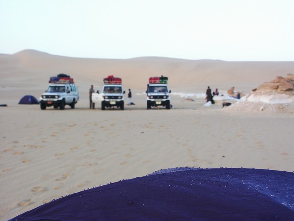
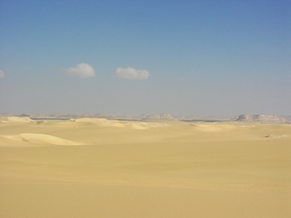
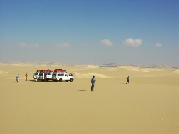
Day 8. - Karkur Talh - Clayton's Craters - Wadi Sora
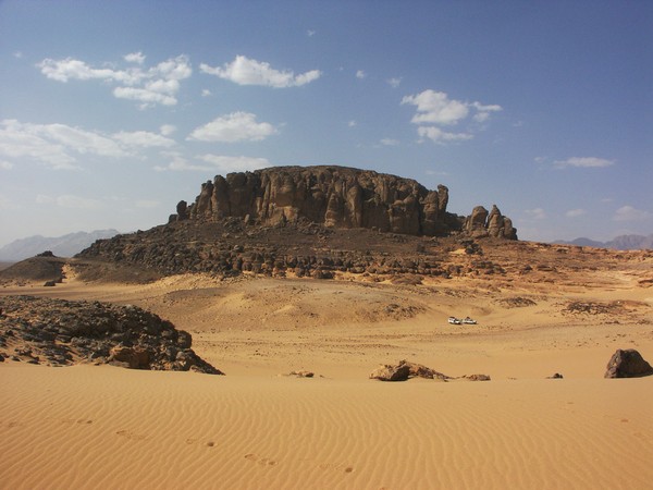
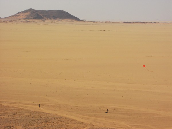
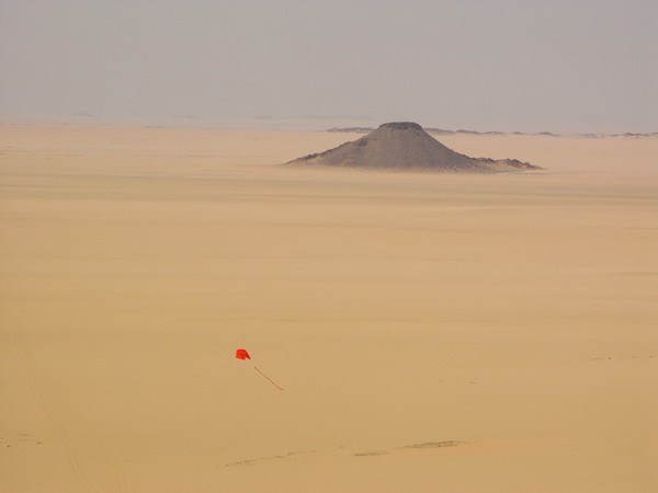
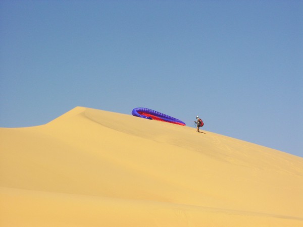
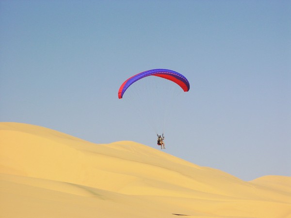
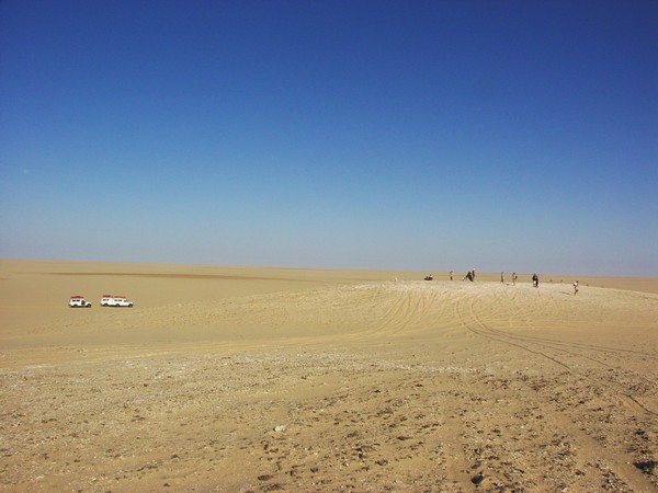
In the morning we started driving north towards Wadi Sora, stopping at Clayton's Craters, where Jarek finally had a decent wind and good terrain to fly one of his bright red kites.
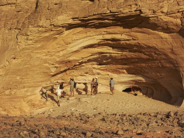
We spent a leasurely afternoon exploring the main shelters at Wadi Sora. In the sand of the main cave, Kent found a german manufactured bent drawing pin, undoubtedly one of those used by Elisabeth Pauli in 1933 when copying the paintings.


Day 9. - Wadi Sora area
We spent the day visiting the recently discovered sites in the Wadi Sora vicinity. In the afternoon we walked up a long wadi at the foot of the cliffs where Salama found in 2002 a shelter with a few rather crude Giraffes.
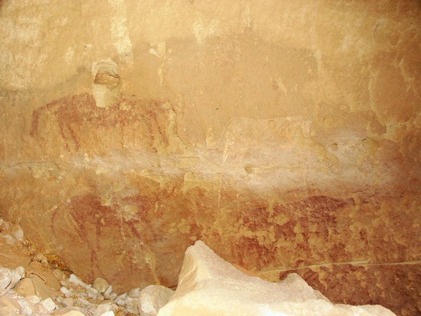
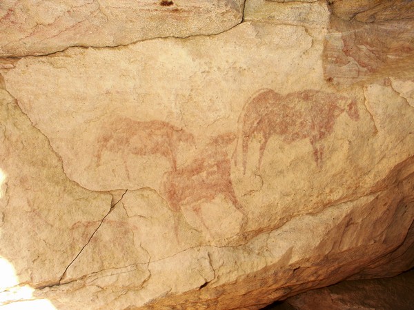
It is amazing that re-visiting well known sites still yields surprises. At Clayton's giraffe rock, we noticed some traces of paint on the wall facing the crude engravings Almásy found. The lower section of the wall was covered with rubble fallen from the eroding ceiling. On clearing a bit, several cattle emerged, in red and white.
Day 10. - Wadi Sora - Aqaba - Wadi Hamra
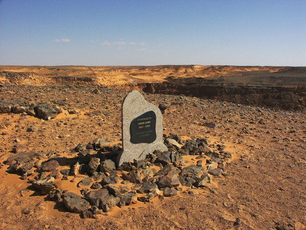
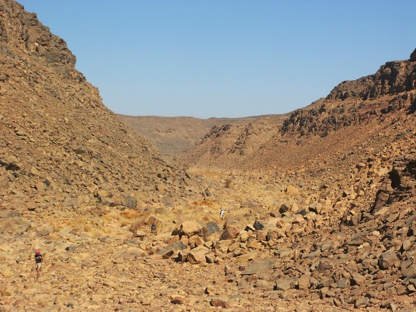
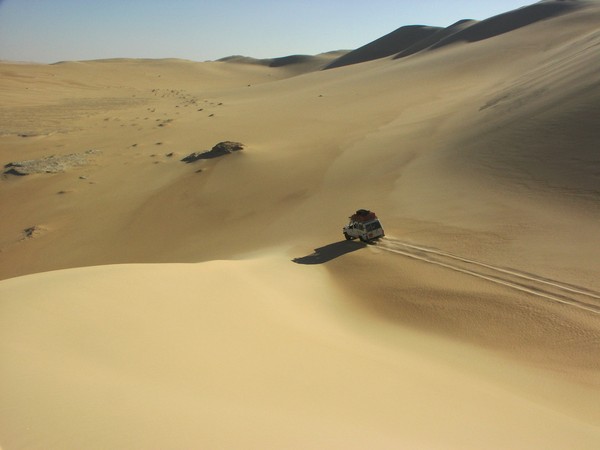
Backtracking 50 kilometres east, we ascended the Aqaba pass (all three cars making it in one go), then continued up the series of sandy passes to the top of the Gilf Kebir plateau. We stopped at the edge of the cliff, where last year a memorial was set up for the late Samir Lama, one of the pioneer explorers of the Gilf.

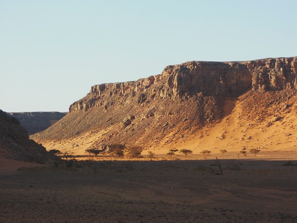
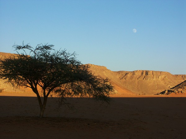
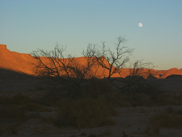
We followed the now very well defined track (even visible on recent satelite photos) till a point south of Wadi Hamra, then turned north on, reaching the edge of the valley by late afternoon. Wel camped in a small wadi on the top, and walked down into the main wadi for a beautiful sunset scenery.

Day 11. - Wadi Hamra - Wadi Abd el Melik
In the morning we walked 2 kms over the plateau to the series of engravings discovered by Rhotert in 1935.
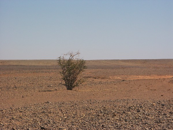
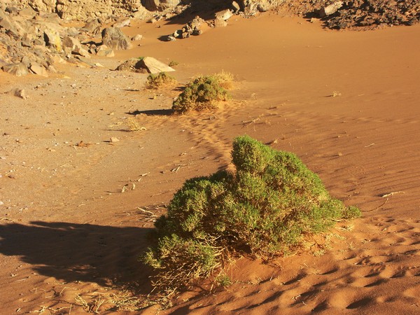
Breaking camp, we retraced our course along the plateau top towards the track leading to Lama Pass, the only possible descent into Wadi Abd el Melik. Along the way, we noted a colony of curious plants, never noted on any previous trip. The plant has since been identified by Dr. Francis Duranthon as Barleria triacantha.
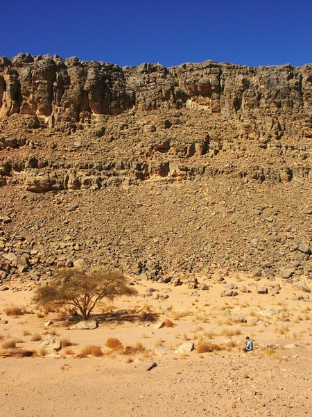
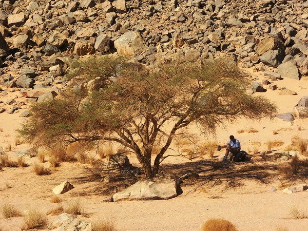
At a point along the track a large shallow pan contains a solitary Maerua crassifolia, and a very large colony of the rose of jericho (Anastatica hierochuntica).
We descended the Lama Pass early afternoon, and made camp behind the dune hiding the series of engravings found in March 2002.
The afternoon was spent visiting the rock art sites discovered by Bagnold and Peel in 1938, and more recently by Tarek el Mahdy and party in the same vicinity.

Day 12. - Wadi Abd el Melik
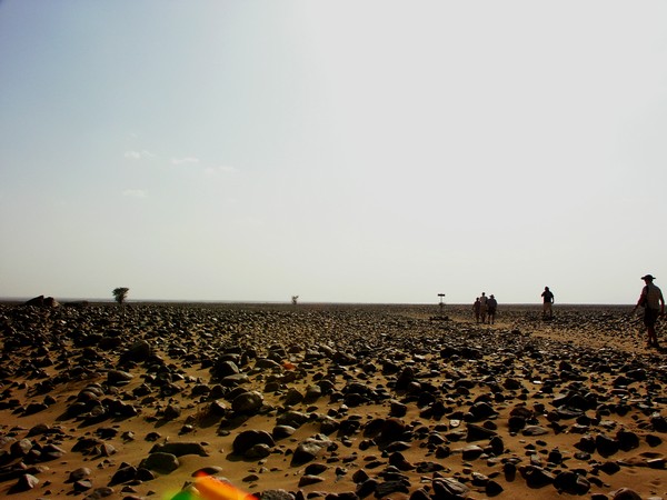
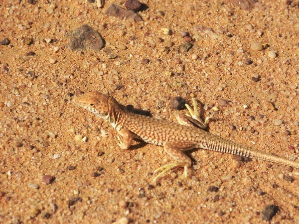
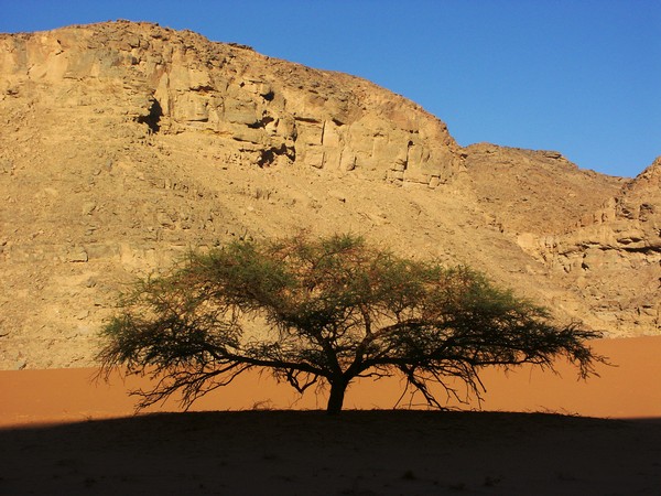
The plan for the day was to explore the unknown narrow stretch of the eastern branch of Wadi Abd el Melik between the end of the driveable section, and the broad open bay we visited from Wadi Hamra in March 2000. The valley proved driveable for another two kilometres beyond the rock art sites visited the previous evening. We left the car, and continued up the valley on foot. After a couple of bends there is a remarkably straight, narrow stretch of about 5 kilometres, probably the valley following a fault line. It was a long walk along the alternatingly rocky and sandy valley floor, we did not find anything of special interest except for the beautiful desolate scenery, and the knowledge that we were probably the first human beings walking up this valley in a very, very long time. There was sparse but continuous green vegetation along the way, acacias and Maerua crassifolia, Fagonia arabica and abundant but dry grass (Panicum turgidum). The grass was ungrazed, indicating that no waddan inhabit the valley any more (however all sections of the valley are littered with mummified corpses and skeletons). The only animals noted (aside the flies) were the occasional lizards.
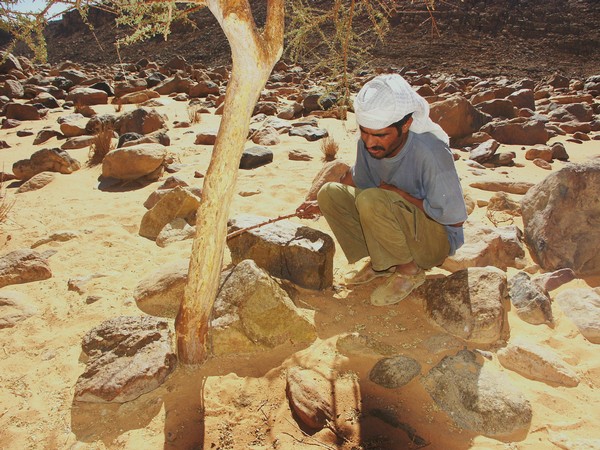
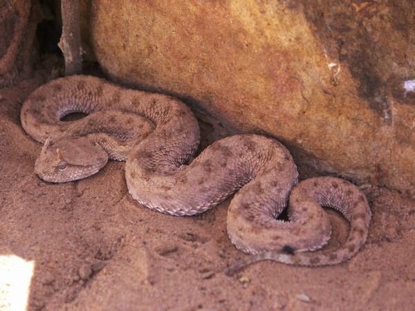
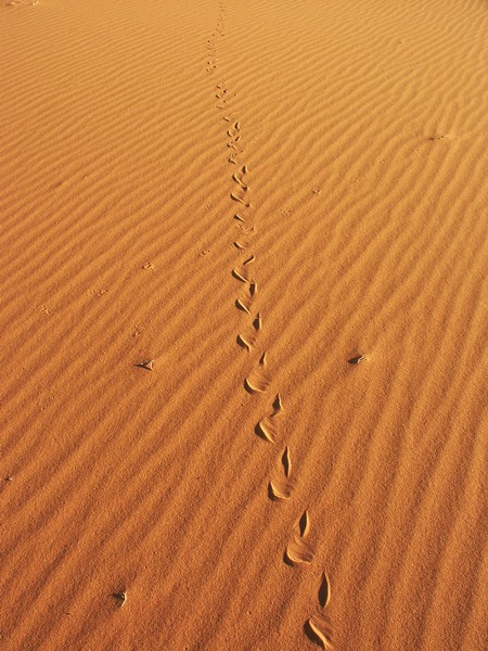
We got to the bend that was our farthest point reached from the opposite direction in November, 2000 around noon, a little disappointed with the results, however the afternoon made up for it. As usual, it was Salama who spotted the unusual, a nearly invsible horned viper (Cerastes cerastes) hiding in the sand at the foot of a small tree. The viper opediently posed for the flashing cameras, and only moved rather reluctantly when Salama nudged it with a long stick. In all my years of desert travel this was the first individual ever seen, though their tracks have been noted on most trips.


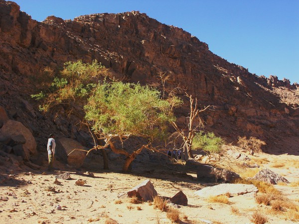
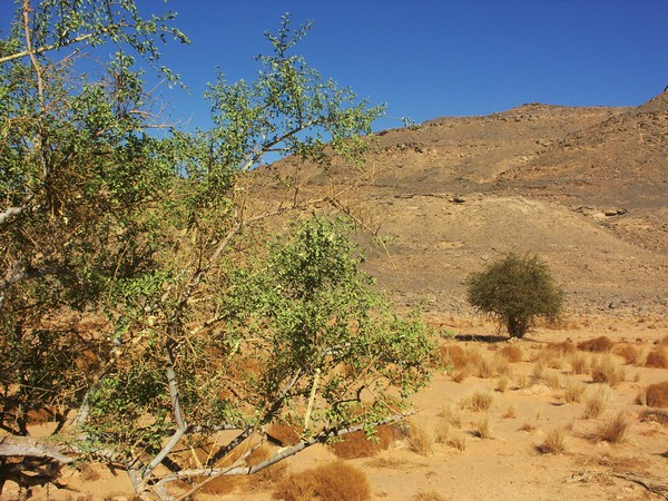
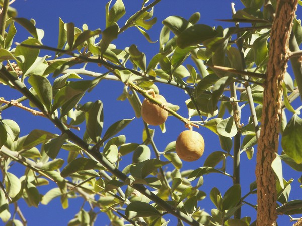
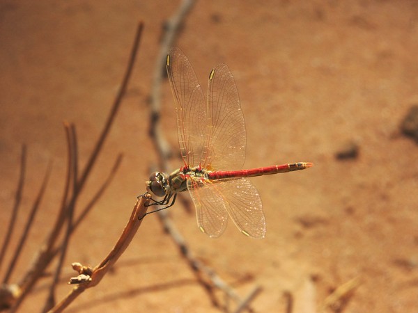
The second find, also spotted by Salama, was just a little upstream from the spot where we left the car. A grove of bright green trees were hiding in a shady bend of the valley, from afar I noted nothing unusual just a bunch of acacias. However going close it became clear what Salama saw all along, there were two blooming trees with proper bright green leaves. They were balanites (desert date, Balanites aegyiptiaca) trees, both fruit bearing. The ripe fruit is hard, but if peeled and put in the mouth they slowly melt like a candy, with an interesting bittersweet taste. This is the first time that this species was ever noted in the Gilf/Uweinat region. They could possibly be the source of the 'olives' Harding-King found in Dakhla in 1911 in the stomach of migrating pigeons arriving from the direction of the Gilf. From this he correctly deducted that there must be an 'oasis' somewhere to the south-west of Dakhla 400-500 kilometres away (though the Gilf itself was unknown at the time). The air around the trees were full of large bright red dragonflies (Sympetrum fonscolombii).
Having returned to camp, I have taken a pleasant walk in the light of the late afternoon sun. In a little side wadi I came upon a little colony of green Fagonia arabica. On the adjacent dune, there was a conspicious fresh line of snake tracks, I followed it, and sure enough soon spotted another horned viper, dug in to the sand, under one of the bushes. It was incredible to find a second one in the course of a single day, I dashed back to camp to call the others.


When we returned, cameras on the ready, there was a small bird hopping around the bush hiding the snake. Scared from us approaching, it moved around the bush, exactly towards where the snake was hiding. It all happened in a flash, the next moment the bird was struggling in the mouth of the viper. Click on the image below to see the full photo story.

|
|
Click on image for complete photo story
|
Day 13. - Wadi Abd el Melik - Wadi Talh - Libyan Desert Glass area
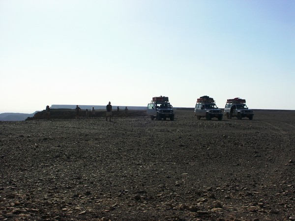
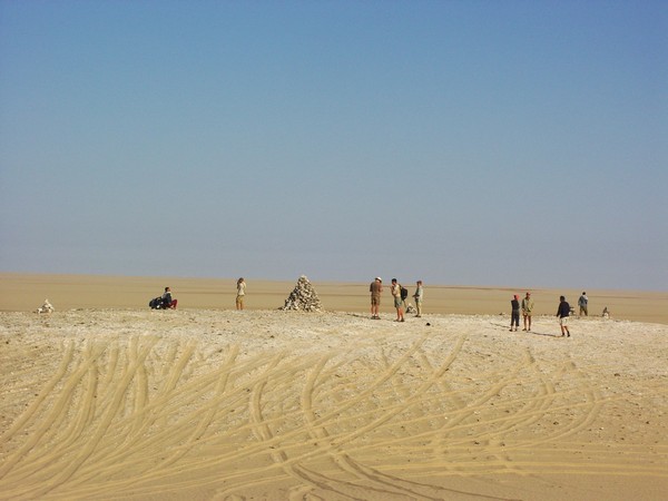
After a morning group photo session on the dune above the camp, we drove north past the confluence of the two main branches, towards the junction of Wadi Talh, about 60 kilometres to the north.

A little upstream in Wadi Talh, there are a series of shallow lakebeds with gleaming white yardangs, contrasting with the yellow sands piled against the wadi walls. Beyond here, there were only a couple of very old looking tracks. Apparently despite the heavy traffic in Abd el Melik, few people venture into this remote side wadi.

We continued to the head of the valley. Vegetation was very meagre, and mostly dead, there were only a few live acacias, including a cluster of low dome shaped ones first seen in the "Unnamed Plateau". It was hard to imagine that this bleak wadi could have been Wilkinson's third major 'Zarzura' valley. In his eagerness to find the third valley, Almásy seems to have exaggerated the vegetation. It is much more likely, that the three 'Zarzura' valleys mentined by the Dakhlans to Wilkinson, and the Tibus of Kufra to Almásy were Wadi Hamra, and the two branches of Wadi Abd el Melik, the western of which may have been referred to as Wadi Talh.

Like everywhere else in the Gilf Kebir, here too we have found plentiful evidence of past inhabitants, but no rock art.
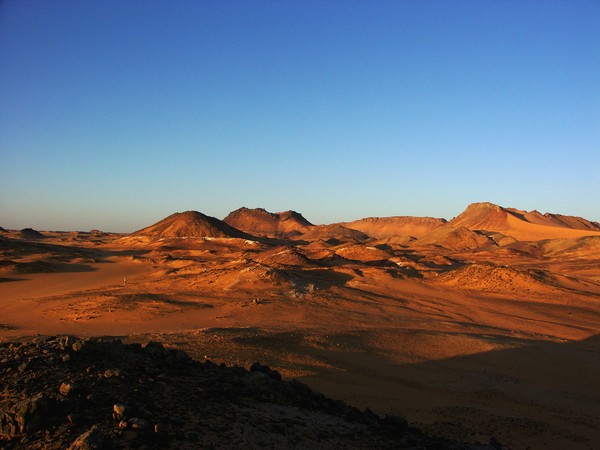
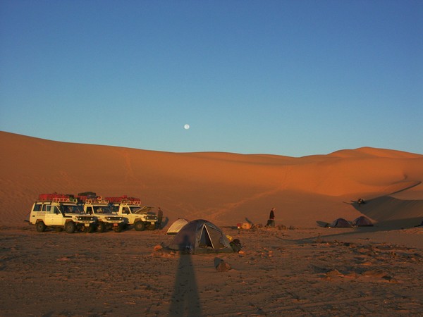
Returning the way we came, we continued driving north in Abd el Melik, then east via Wadi Gubba, to the Libyan Desert Glass area, reaching camp at the foot of the giant dunes at sunset.

Day 14. - Libyan Desert Glass area
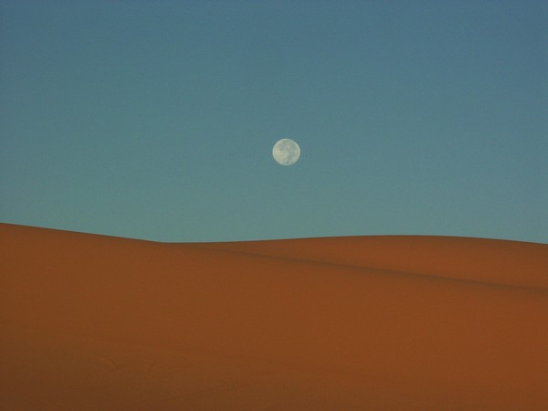
We awoke to the magnificent sight of a full moonset over the dunes at dawn, after which we spent the morning exploring the dunes and corridors.

In the afternoon we made an attempt to reach the 'hidden valley' (a 2-3 km long dune corridor surrounded on all sides by dunes). In March we were forced to turn back by the wind and blowing sand. This time we had a quiet afternoon, and we reached our objective after an hour's walk over the dunes.

Day 15. - LDG area - Big Cairn
We spent a leisurely morning around our LDG area camp. Jarek took the time to attempt flying his paraglider off the big dune behind the camp. Despite the good wind it did not appear an easy task, it took over two hour's struggling to get a few minutes in the air.
In the afternoon we drove north, skirting the western edge of the dunes, making camp a few kilometres short of Clayton's Big Cairn.
Day 16. - Great Sand Sea
Next morning we completed the few remaining kilometres till 'Big Cairn', the cairn erected by Pat Clayton in 1933 on completing the first crossing of the Great sand Sea.
After crossing the flat empty tongue of serir jutting into Egypt from Libya, we started the serious crossing of the Great sand Sea. Using a course plotted from high resolution Landsat imagery, most of the route was easy, skirting the large dunes and keeping to the firm side of the interdune corridors. By noon we reached the area about 100km south of Siwa where the first sturdy Calligonum commosum shrubs manage to survive on the morning dew.
Approaching Siwa, there were a few steep descents on the eastern side of dune ranges to get into the progressively lower lying corridors to the north east.


We made camp about 30 kilometres before Siwa, in an area full of fossil root casts and tree trunks among the dunes.
Day 17. - Great Sand Sea - Siwa
At dawn we awoke to an astonishing sight. There was a thin mist lingering in the air, and everything was drenched. The sand was wet like on a beach, and the cars and tents were full of dew. It took a good two hours after sunrise for everything to dry.

After less than an hour we glimpsed the cliffs and blue lakes of Siwa beyond the dunes. By midday we were in town, spending the rest of the day recuperating in the pleasant surroundings of the Siwa Paradise Hotel.
Day 18. Siwa - Mersa Matruh - El Alamein - Cairo
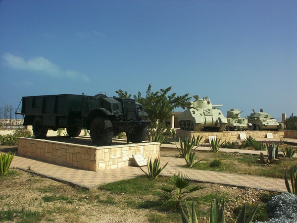
The last day was a long 300 km drive from Siwa to the Mediterranean coast, then on to Cairo, briefly stopping at the el Alamein museum (where we noted that the 30ton LRDG Ford lorry in the garden was recently repainted to a deep olive green) and the Commonwealth War Cemetery.