
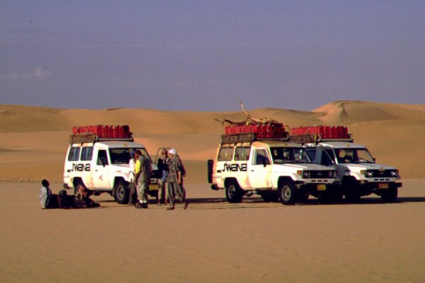
 Click on image for list of participants |
Jebel Uweinat - Gilf Kebir
Expedition 21st November - 7th December, 2000 |
This trip was planned in cooperation with Sina Orient Tours of Switzerland. Breaking from the tradition, we decided to start from Luxor, enabling a short visit to the monuments before the trip. Unfortunately this turned out to be a bad choice...
Day 1. - Luxor - Kharga
The group met in Luxor, some having flown in directly, some via Cairo, driving to Luxor via Hurghada, where we picked up the cars the previous day. We were planning to take the desert road to Kharga via Armant, an easy 200 kilometres. Despite all permits in hand (and assurances in Cairo), the police checkpoint at Luxor refused to let us pass, saying foreigners are not allowed. Back in Luxor we had a furious meeting with the local police chief, who bluntly said that he makes the rules, he does not care about any permits issued in Cairo, and he much prefers to see an angry foreigner to a dead one, so we may only go where he says so. Oh, by the way, welcome to Egypt ! By some twisted logic it was decided that the only "safe" way for us to go to Kharga is by taking a police escort along the Nile valley to Assiut, then we may take the desert road unescorted from there. However from Luxor we cannot leave any time, we have to join the afternoon convoy of the tourist buses going to Hurghada, at 2pm. Our escort will only join at Qena. No amount of arguing or reasonong helped, so we vented our anger at the Luxor temple till 2 pm. Finally we could start, and made it to Qena at a snail pace, from where we could continue a bit faster with our own escort. It was the '98 trip repeating itself all over, happily without any mishaps on the road this time. It was dark by the time we were left to ourselves on the Kharga road, and well after 10pm when we reached the hotel in Kharga. We were forced to drive over 700 kilometres instead of 200, and a whole day was wasted...
Day 2/3. - Dakhla
Next day we continued to Dakhla, fuelled, and set out south. This time the checkpoint was manned, and our permits were found to be in good order. The soldiers were ready to let us pass when an officer materialised, and asked where was our escort ? We said we plan to take a soldier at East Uweinat as last time, it has been arranged with the friendly colonel over the telephone. That cannot be - said he - the new regulations are that an officer from Cairo must accompany all groups ! A lengthy heated discussion followed, as Khaled picked up the permits for the changed cars only two days ago, and no such thing was said in Cairo. The officer was also puzzled, and even called the colonel at East Uweinat who confirmed that he was expecting us and knew nothing of such regulations, but after calling his superiors in Cairo the rule was confirmed. There we were, with permits but no officer. It was already past 2pm, the permits office in Cairo was closed, so there was no alternative but to wait till the next day. We were allowed to continue along the road to the dunes near Dahkla airport, and we made camp for the night. Next morning, after many phonecalls, the office itself confirmed that there is this new rule, however as it was the eve of Ramadan, all officers were on leave. Finally we received a call at noon that an officer was found, and he will be on his way to Dakhla by the evening. We killed time visiting sights around Dakhla, and returned to camp with serious doubts about the officer ever arriving. However a call from the hotel Mebarez near midnight confirmed the officer did arrive !
Day 4. - Dakhla - Black Hill
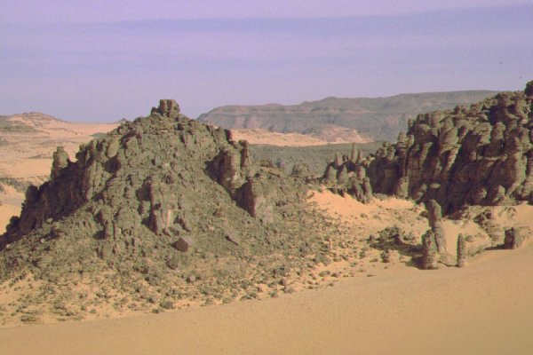
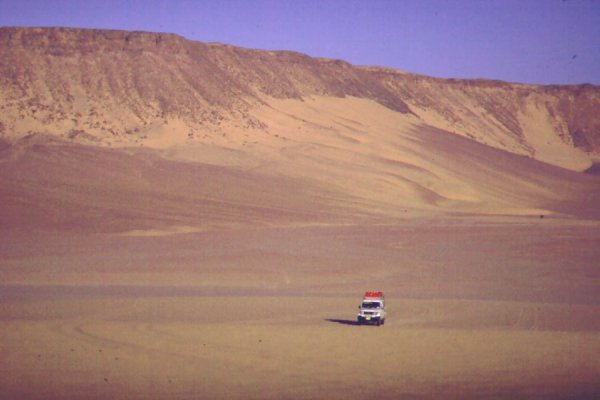
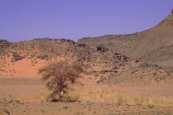
In the morning we met Major Tahat, he proved to be a very nice person and charming companion, despite the fact thet he was ordered to pack and leave to the desert instead of spending Ramadan on leave with his family! We set out south along the straight empty tarmac, uneventful except for four flat tyres along the way. As we only had three assembled spares, it took some time to fix the fourth, and it was mid-afternoon by the time we could turn off the road west. We took a more northerly course this time, aiming for Black Hill and the eastern entrance of Wadi Wassa. We reached Black Hill by dusk, finally releasing the accumulated stress of the past four days.
Day 5. - Black Hill - Eight Bells
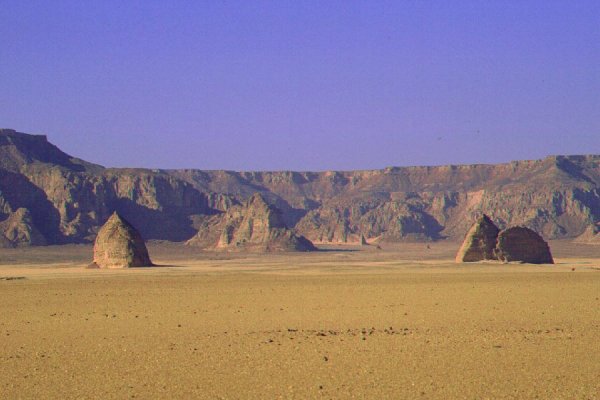
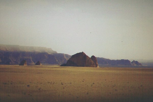
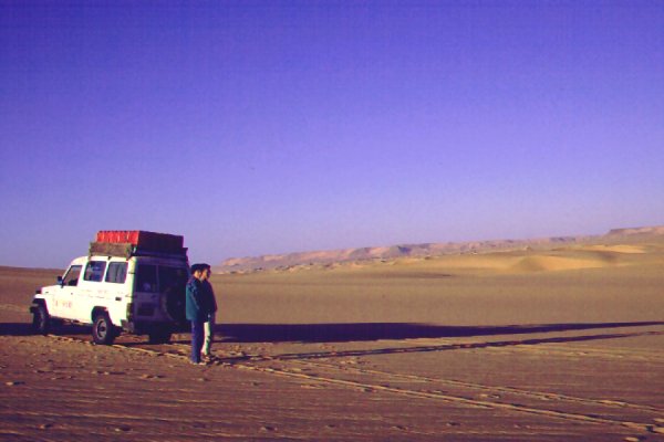
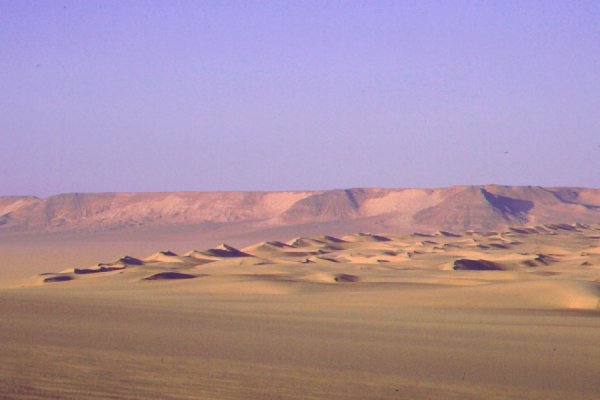
We continued along hilly country beyond Black Hill to Beacon Hill, then on the hard sand plain again till the eastern reaches of the Gilf. We were planning to look for two wrecked trucks from WWII reported to be in the area (el Baz, 1978), but encountered a large dune field, unmarked on the map. It was not a particularly difficult crossing, but required much walking in front of the cars, and by the time we reached the far side our time allocated to look for the wrecks was up (we found one about 10kms further north on our March 2002 trip). We continued into Wadi Wassa, and to Shaw's Cave. On the return we descended into Wadi Firaq, and reached the foot of the most easterly of "Eight Bells" by sunset to camp.
Day 6. - Eight Bells - Karkur Talh
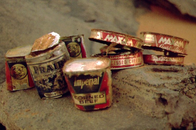
In the morning light a little exploration of the area revealed, that we camped no more than 500 metres from the large sign made out of empty petrol tins marking the runway of the WWII airfield. Near our camp we found a large number of empty tins of the same era, many with their paper labels still intact.
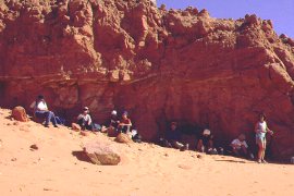
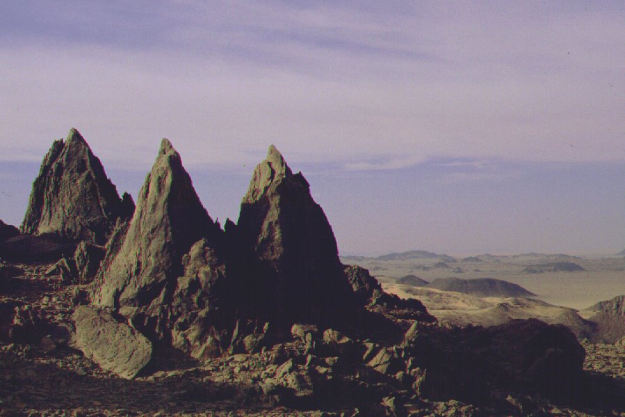
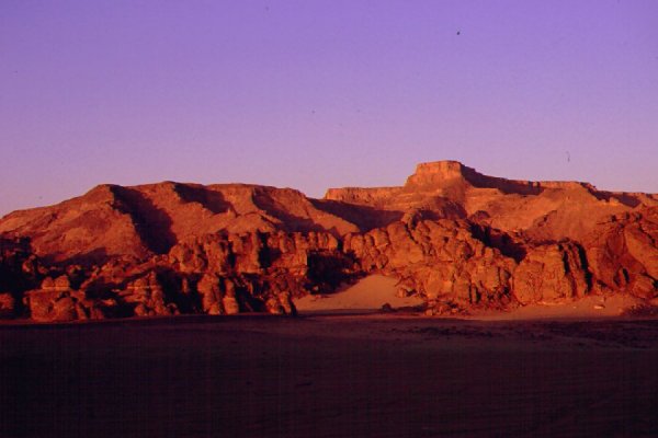
We continued south, and reached the campground in Karkur Talh by midday. In the afternoon we explored the spectacular surroundings individually and in smaller groups. With Irina we headed to the peak of the rather formidable looking hill overlooking the valley. It proved to be an eroded pile of volcanic rock, we were up on it's peak in 20 minutes, enjoying a breathtaking view from the top.
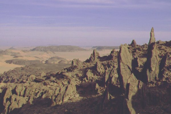
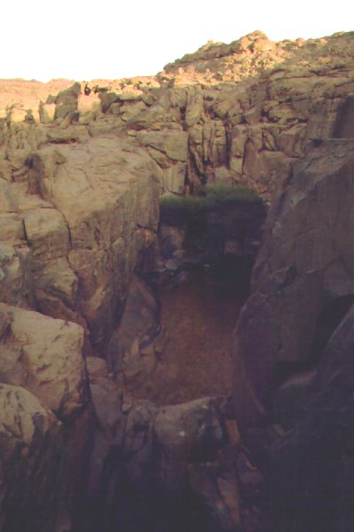
We descended the far side, aiming for the bed of a small wadi that ends in the dry waterfall in the little cove with the painings and engravings opposite the camp. We reached it quite far upstream, then followed it's bed back towards camp. At one place we came upon a series of much eroded engravings on the smooth polished rock of the wadi bed. As we neared the main valley the wadi narrowed and deepened, and soon we encountered a series of now dry gueltas (rock pools) at the bottom of the narrow canyon that must hold water for several years after a rain.
Day 7. - Karkur Talh
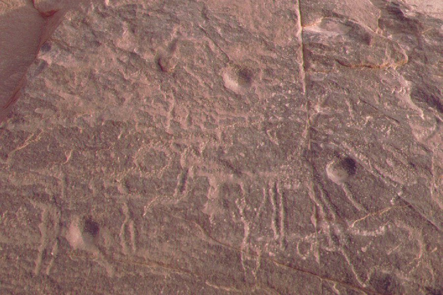
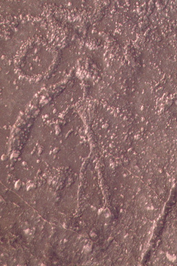
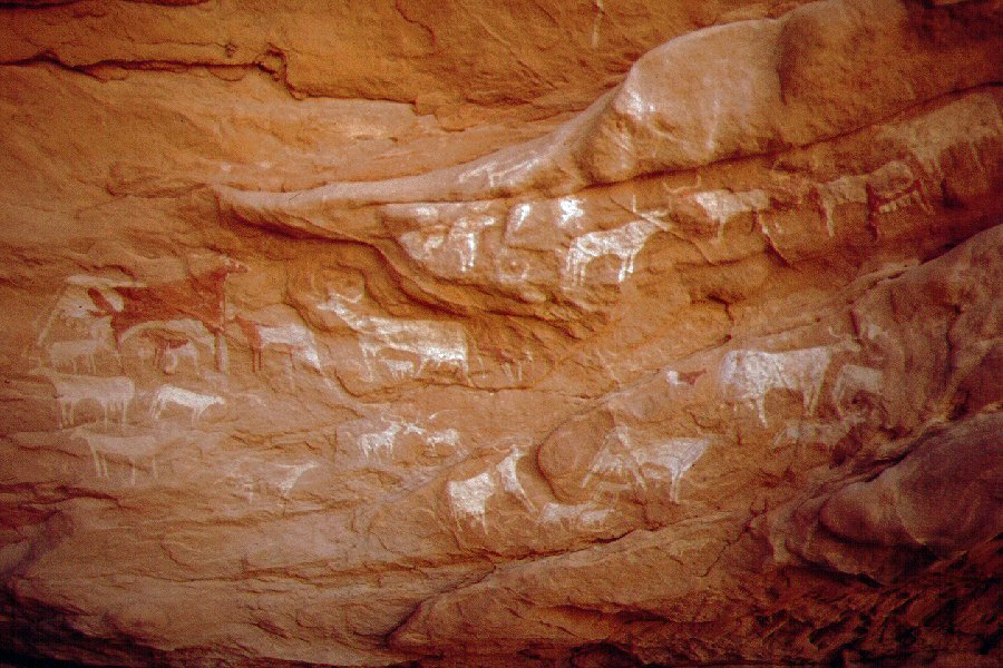
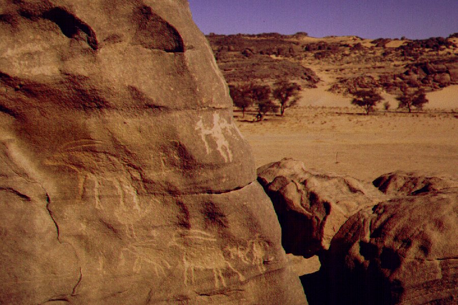
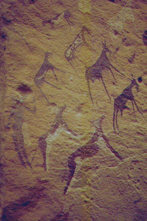
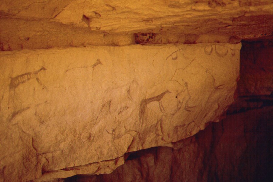
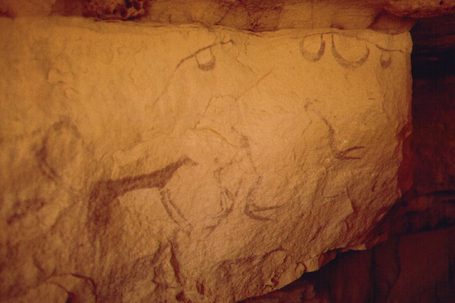
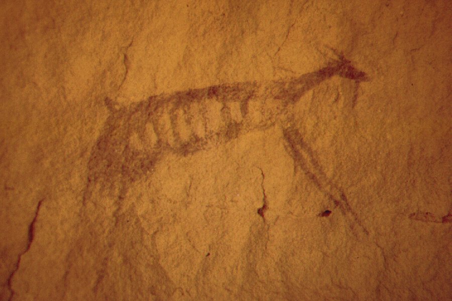
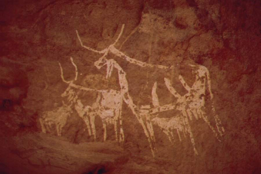
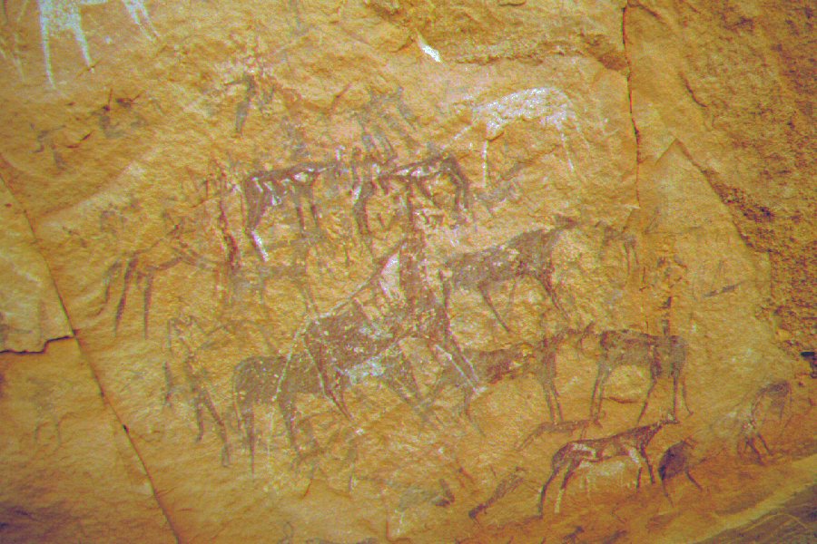
The next morning we set out on foot to the main rock art sites. Aside the paintings and engravings, we discovered the remains of a number of circular tibu huts and stores in the middle section of the valley.

Near the spot where the sites start, Scott discovered a shelter about 20 metres above the valley floor. It contained a large frieze of white cattle and some engravings nearby. Subsequent study showed this to be a new site.

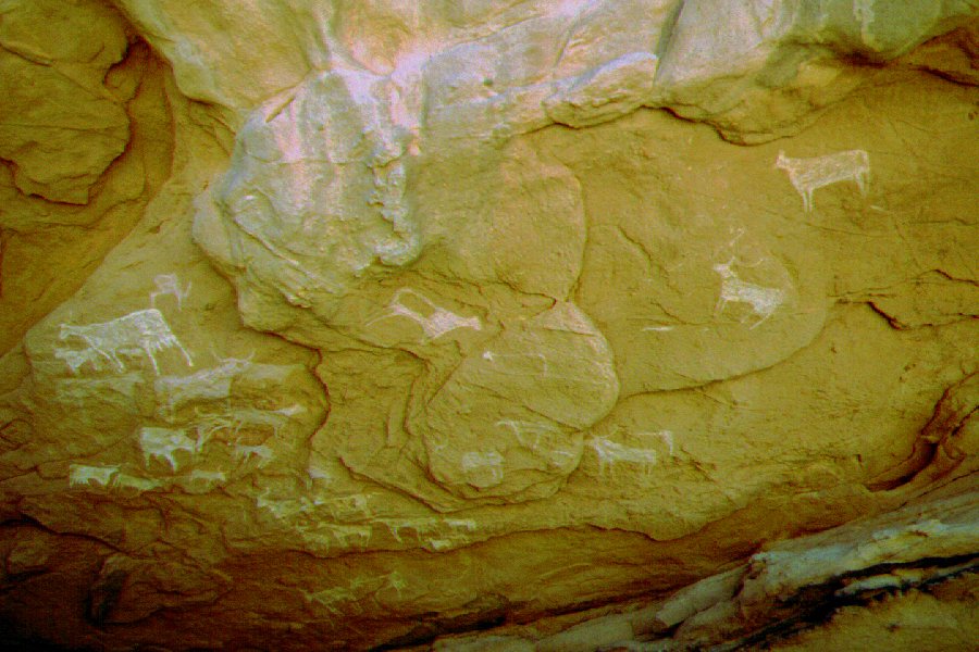
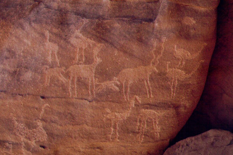
Not far, in a narrow crevice running up the valley side, we found some very nice engravings of wild animals, including the unmistakable figure of an addax, and many others. This too turned to be a previously unreported site.

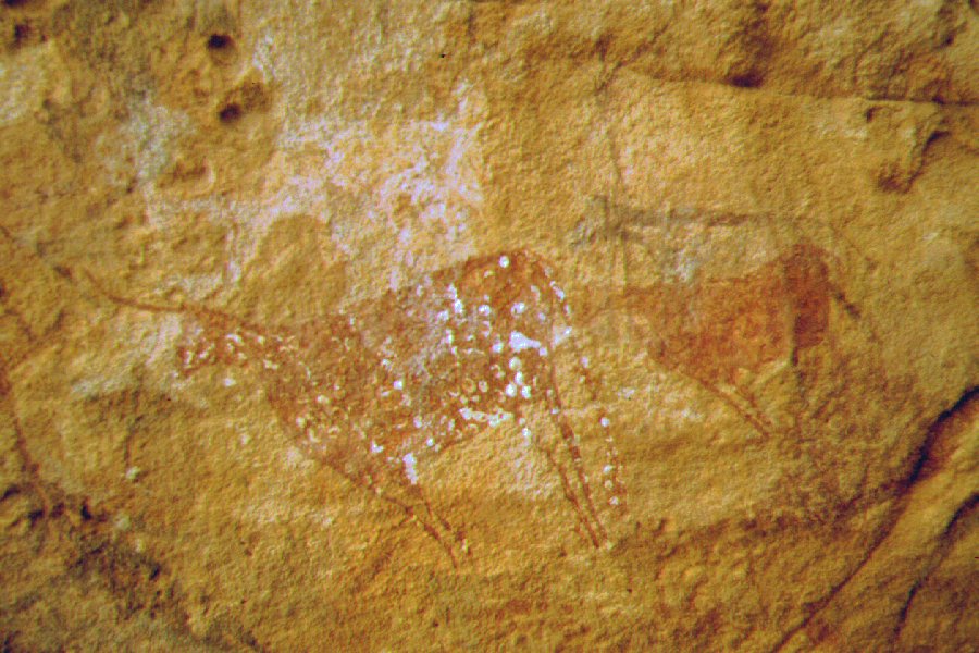
At the Belgian's sites we found a site we missed the previous year containing a curious female figure in a grass skirt.
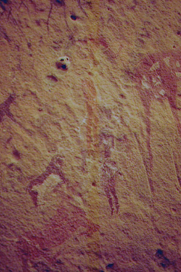

Just above this, behind a rock ledge requiring some advanced scrambling, Scott found another unknown series of paintings.
In the afternoon those who had enough of the multitude of cows returned to camp with Khaled who drove in to meet us, the rest went to explore a side wadi that was left out in the spring. The beginning was disappointing, we only found very few unspectacular engravings. Then Khaled returned with the Major, and as we still had a little daylight left, we drove further into the valley. We were rewarded with one of the most spectacular series of paintings at Karkur Talh, discovered by Almásy in 1933.
Day 8. - Karkur Talh - Clayton's Craters - Wadi Sora
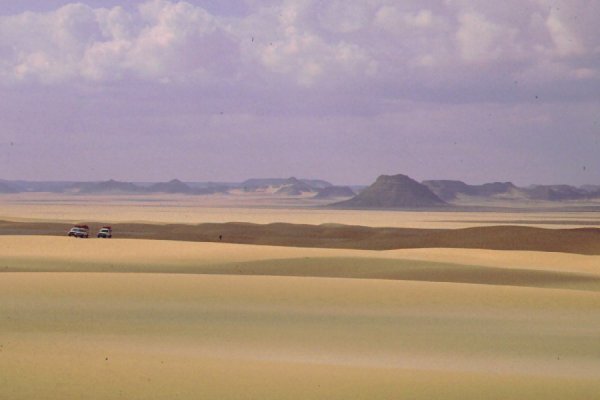
In the morning we broke camp, and moved north, stopping by Clayton's Craters and the Prince Kemal el Din monument on our way to Wadi Sora, visiting the caves in the afternoon.
Day 9. - Wadi Sora - Aqaba pass - camp in "Gap" Dunes
In the morning we experienced a rare pnenomenon: mist over the gilf. A thin veil covered the upper cliffs, and it remained for over two hours after sunrise.
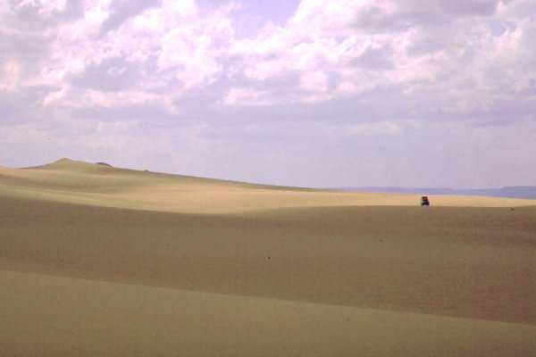
We returned east to the Aqaba pass, and scaled it this time without any difficulties. We continued north in the Gap, crossed the first whaleback along our spring tracks, and made camp in the lee of a low dune range running accross the low second whaleback far to the north.
Day 10. - Camp - Wadi Hamra
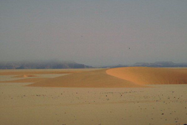
This night was the coldest I ever experienced in the region. Waltraud measured zero degrees at dawn, and it was bitterly cold up to an hour after sunrise. We set out to cross the dunes, and this time reached the far end under three hours.

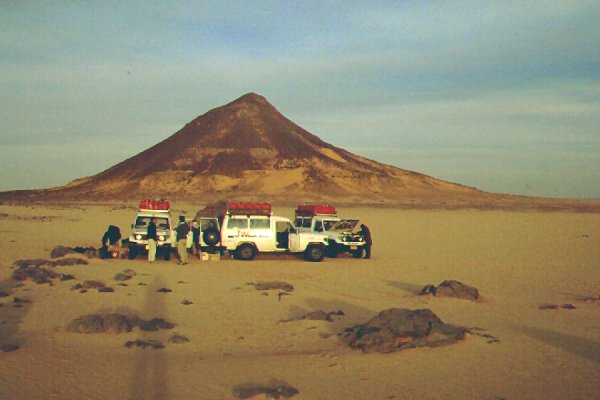
We had two flat tires during the crossing, and the tire situation started to become a concern. Since we left the road, we lost at least one tire per day, and our reserve of eight extra inner tubes was rapidly dwindling. In the afternoon in Wadi Hamra while the group set about to explore, Khaled and the drivers had a busy time repairing those tubes that were still useable.
Day 11. - walk to Wadi Abd el Melik
At sunrise we climbed the plateau above camp, and started on the day trip to Wadi Abd el Melik accross the plateau top.

This time, with a better understanding of the terrain ahead, we had more time to explore the broad basin, but found nothing of special interest except the beautiful scenery and a few neolithic habitation sites.
Day 12. - Wadi Hamra - Silica Glass area
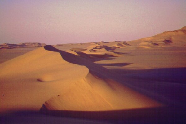
On our way out of the valley, we stopped to look for the engravings reported by Giancarlo Negro. We spent an hour searching with no results. Unknown to us, we were no more than 60-80 metres off the mark, well within the error range of the GPS at the time Giancarlo and party discovered them. (We have found them in March 2001) Leaving the valley, we started north along the plain along the Gilf. We had another two burst tyres in rapid succession, and we had to make a halt to make repairs. With one car, we ventured to the edge of the Gilf to look for the other rock art site reported by Giancarlo Negro in the vicinity. We found the edge very broken, with many small wadis, and we could only get to within 2-3 kilometres - apparently we have taken the wrong way, probably it's possible to get to the site in a circuitous way. The repairs done, we continued north, with a dangerously dwindling reserve of useable tyres (all patched by then). We could afford to lose no more, at the next one we had to start our way back.
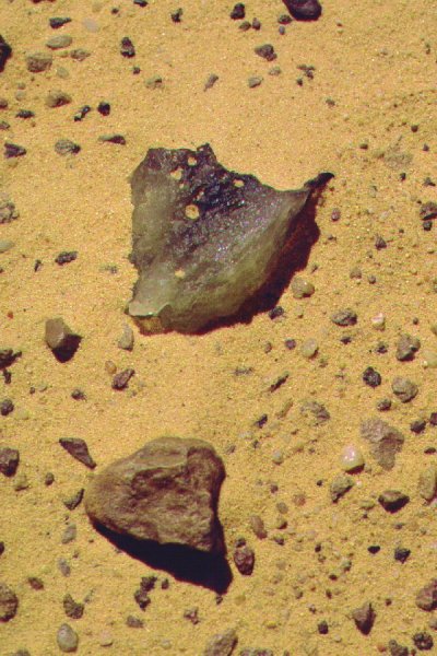
As we reached the corner of the first dune at the Silica Glass area, it happened. The third car developed another flat tyre. I could find no explanation for this, the speeds and tire pressures were the same as on all trips before and after. Possibly we received a faulty batch of innner tubes. We made camp at the spot, and while the repairs were made, we went prospecting in the vicinity.
Day 13. - Silica Glass area - camp in "Gap" Dunes
With one car we drove up a little further among the dunes, then started making our way back. Incredibly, the spell of bad luck with the tires reversed, and we had not a single flat tyre untill we reached the asphalt before Dakhla.
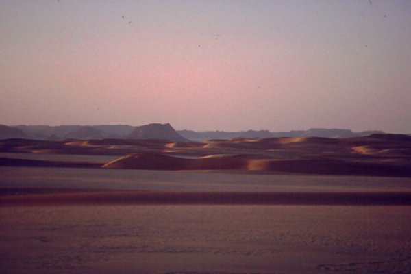
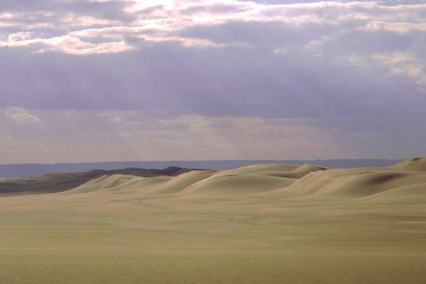
Studying the satelite photos there was a promising looking route accross the dunes about 10 kilometres to the north of our westbound crossing. The hunch proved to be correct, in about an hour we reached the far side exactly at our campsite of a few days earlier. It turned cloudy, and the patches of sun and shadow made a very unusual, beautiful scene across the dunes. We continued a little, and made camp among a very picturesque (but impassable) range of dunes blocking the valley leading towards Jebel Almásy.

Day 14. - Camp - Hill with Stone Circles
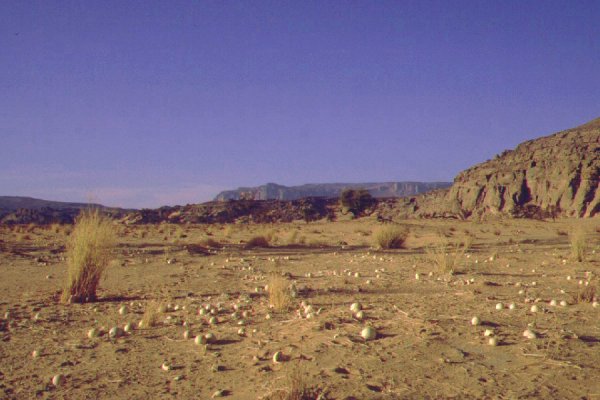
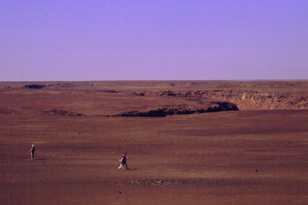
The next day we made an easy crossing of the remaining dunes, following our own opposite tracks, then continued east, rounding the top of the Southern Gilf. We kept to the south of the regular Abu Ballas track (very much messed up by the Dakar - Cairo Rally the past winter), and quite unexpectedly came upon an unnatural large object in the far distance. It proved to be "Balise No. 22." of the Saviem Trans Sahara expedition. We made camp not far, at a point marked "Hill with Stone Circles on Top" on the Survey of Egypt map. Surre enough, there were a few hut circles on the top of the hill, but the true attraction is a field of pink yardangs, the remnants of an eroded lakebed set among golden coloured dunes at a few kilometres distance.
Day 15. - Hill with Stone Circles - Two Peaded hill - Abu Ballas
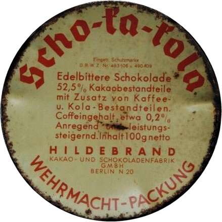
We kept our easterly course till "Two Peak Hill", the farthest point reached by Harding King on his 1909 camel trek. As we took a midday break, I came upon a small metal tin. Lifting it, it revealed a perfectly preserved enameled lid, with unmistakable german inscription. All of a sudden Almásy's Operation Salaam diary sprung to my mind: of course ! This was the spot where they left one car, and continued with just two till Assiut and back. The chocolate box can only be from that trip !
In the afternoon we turned north, visited Abu Ballas, then continued a further 100 kilometres to camp.
Day 16. - Camp - Dakhla - White Desert
Next morning we soon reached the road, and soon had our first flat tire. We used up our last available tube for the fix. Incredibly, we had 17 (!) flat tyres on the trip, and used up all spare inner tubes. We bought some more spares, fuelled and continued till the White Desert to camp for the night (with another three flat tyres along the way).
Day 17. - White Desert - Cairo
The drive to Cairo was without any flat tyres. Half way between Baharya and Cairo, rain started falling in huge knocking drops from big grey clouds. It was then that we noticed, the wipers were missing - who would need them in the desert ?