
 |
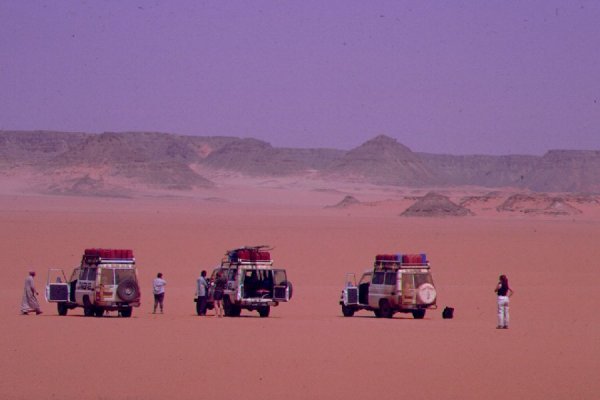
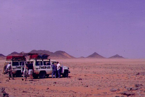
The South-eastern Gilf Kebir |
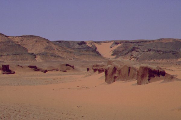
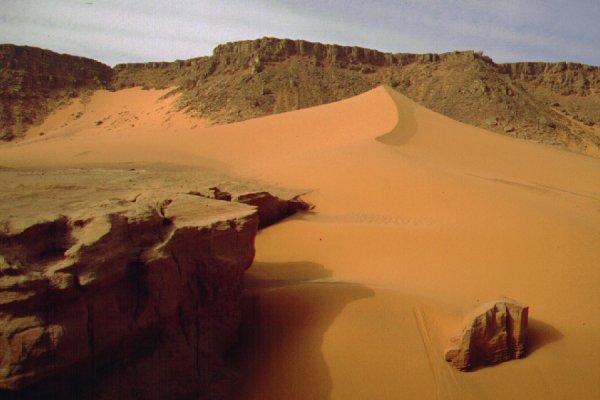
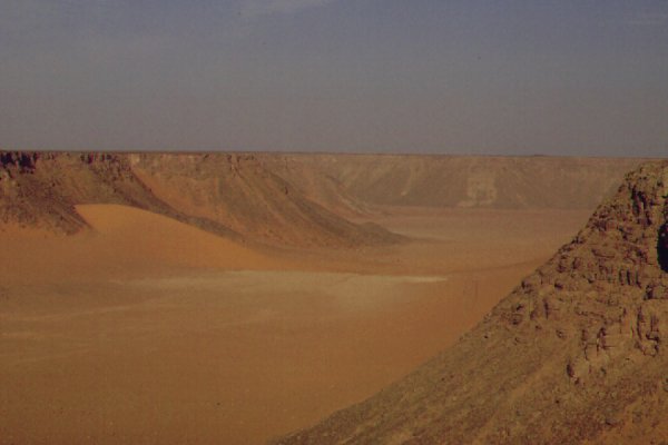
The southern part of the Gilf Kebir is a continuous heart shaped sandstone plateau, with a slight dip to the east. The western edge is bound by a 600 metre high continuous wall like cliff. Deep darrow wadis drain to the east, some reaching into the massif for over 20 kilometres. The top of the plateau is perfectly flat and featureless, save for a few low basalt hills, remnants of volcanic eruptions sometime after the Nubian sandstone was formed.
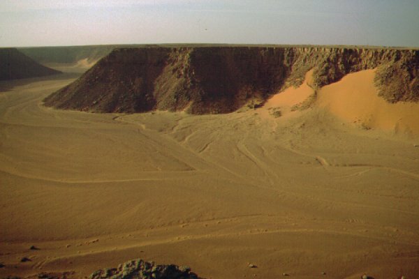
The plateau becomes much broken near it's southern end, and two large wadis, Wadi Firaq and Wadi Wassa cross it's complete width. Near the middle of Wadi Wassa distinctly pink hued sand is built into giant sand ripples along an ancient lakebed. Near the mouth of Wadi Firaq, a conspicious row of hills, named "Eight Bells" during WWII reach out to the plain, the site of a WWII British Airfield.


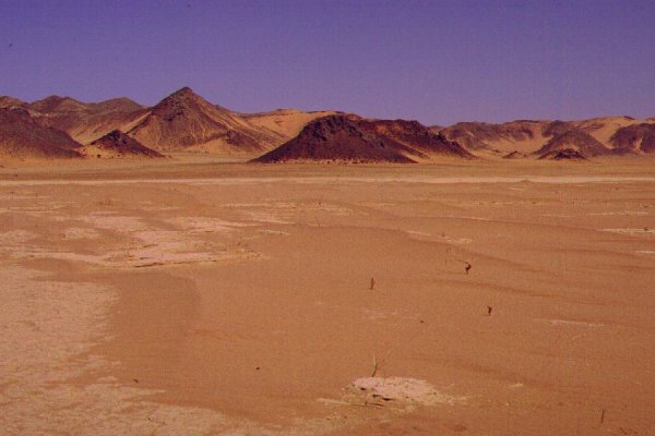
During the neolithic pluvial, two of the eastern wadis were blocked with sanddrift, and lakes formed behind them, presenting ideal human habitats. These, Ard al Akhdar and Wadi Bakht are the most important archaeological sites in the region.

|

|

|