
 |
The North-western Gilf Kebir |
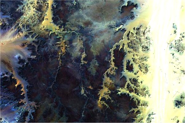
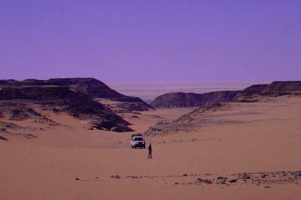
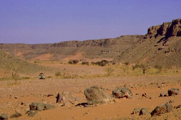
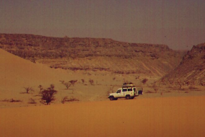
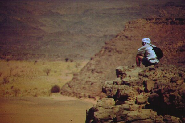
The Gilf Kebir is split into two halves by the "Gap", thus named by Clayton, who only noticed the substantially lower gap in the western cliffs as he made his one day survey run in 1931. Subsequently Penderel discovered from the air that the Gap continued in a broad valley partially filled with a dune field, the southernmost tongue of the Great Sand Sea. Where the valley reaches the western cliffs at it's southern end, a narrow winding sand filled wadi descends to the plains below. This is the Aqaba, a driveable pass first tackled by Almásy and party in 1933.
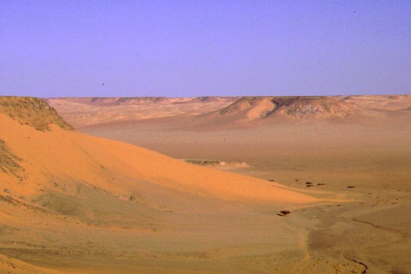

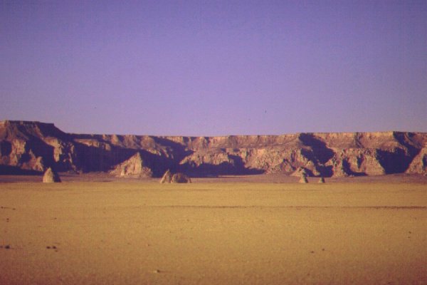
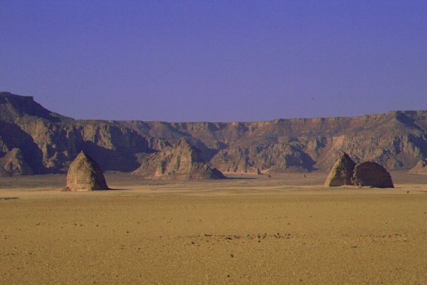
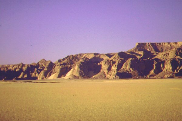
West of the Aqaba the high cliffs continue for over 200 kilometres north-west. About 50 kilometres west of the pass, a small rocky promontory with a spectacular scenery juts out of the cliffs. Apparently ancient humans thought likewise, as the promontory with its maze of rock islands and wadis is one of the most important rock art sites in the region, Wadi Sora.


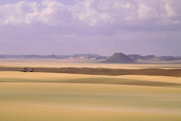
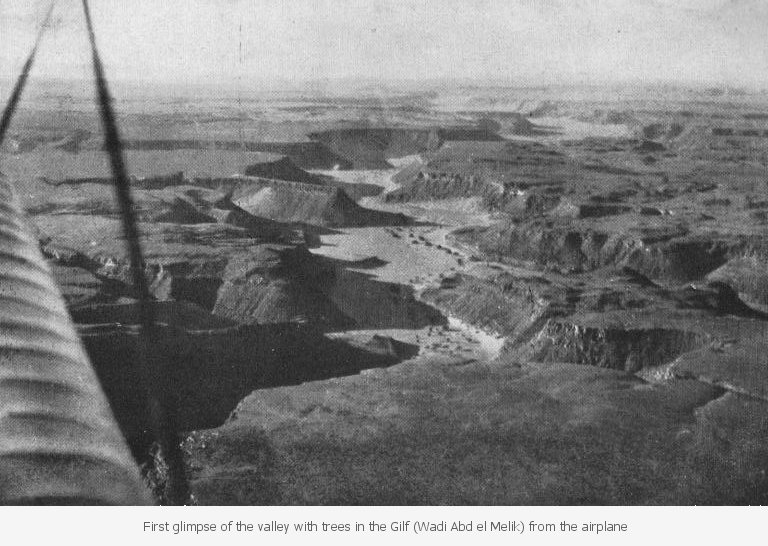
The north-western half of the Gilf dips northwards. The plateau top is perfecly flat, but the whole plateau is much dissected by major wadis and their tributaries, which all drain to the north. These wadis were first seen from the air during the 1932 Almásy - Clayton expedition, and Almásy made a strong case for their identification with the mythical lost oasis of Zarzura.

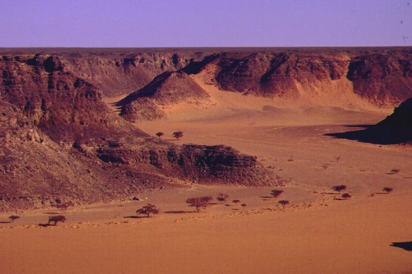
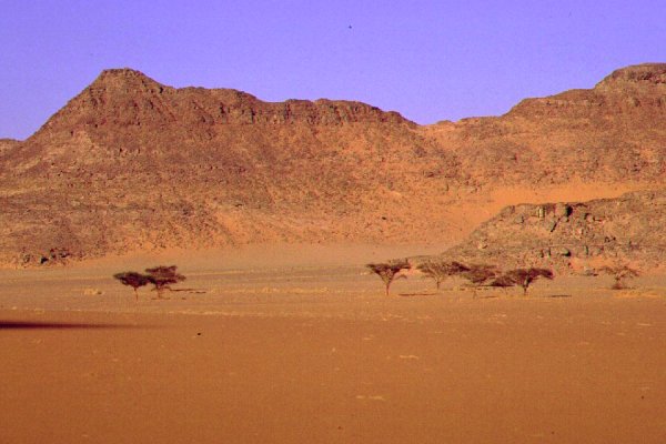
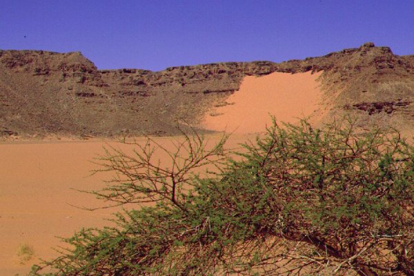
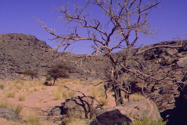
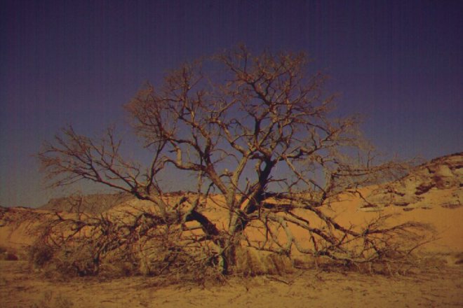
Wadi Hamra, the easternmost valley, opens to the Gap about 60 kilometres to the north of Aqaba. Near its head it supports a healthy cluster of akacias, making it the greenest of the wadis. It received it's name on account of the red sand filling it's bed near the vegetation zone. Near it's centre section and close to it's head, three rock art sites with engravings are possibly the oldest in the region.
Wadi Abd el Melik is the largest wadi, and was the one originally discovered from the air. Two 25-30 kilometre long branches merge and continue for a further 100 kilometres to the north, finally opening on the plain to the west of the Gilf. It is possible, that the two branches were considered, together with Wadi Hamra, the "three valleys" referred to by the natives of Dakhla and Kufra to Wilkinson and Almásy, as the valley identified by Almásy as the third, Wadi Talh is merely a lesser tributary of Wadi Abd el Melik near it's middle section.
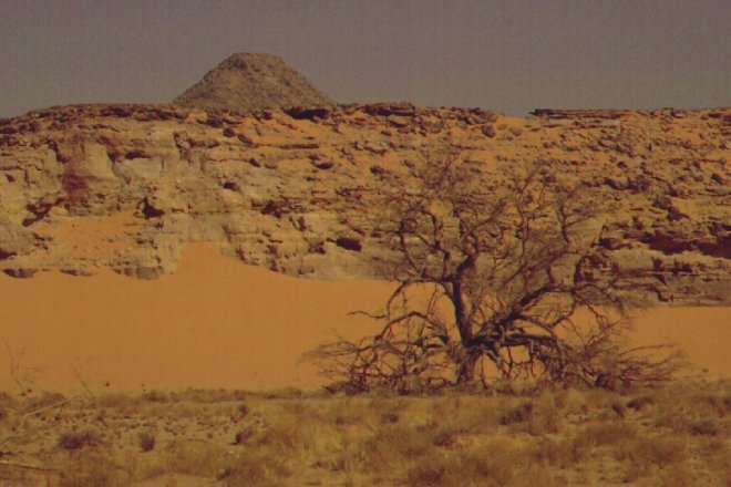

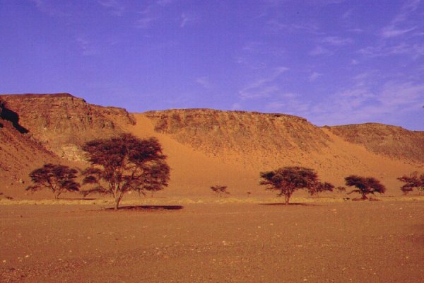
Wadi Abd el Melik was certainly the main oasis valley in the Gilf, with dense tree cover above the place where the two branches join. By now however the majority of the trees are dead, and the valley is very dry. It is strange contrast to the bright green vegetation of Wadi Hamra, a mere 10 kilometres to the east of the eastern branch.

|

|

|