
 Click on image for list of participants |
Jebel Uweinat - Gilf Kebir Expedition, Egypt 10th - 25th March , 2007 |
Day 1 - 2. - Cairo - Dakhla - Selima Sand Sheet - Camp at Gilf foothills
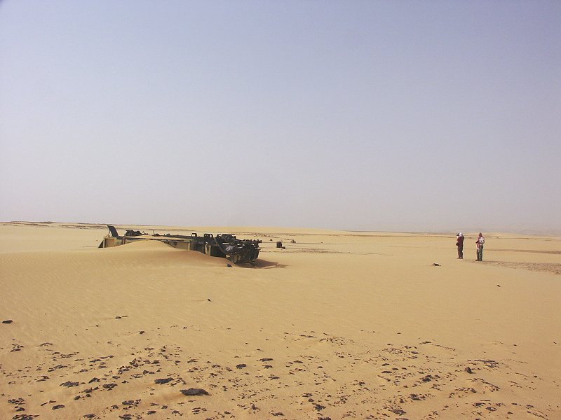
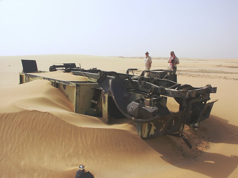
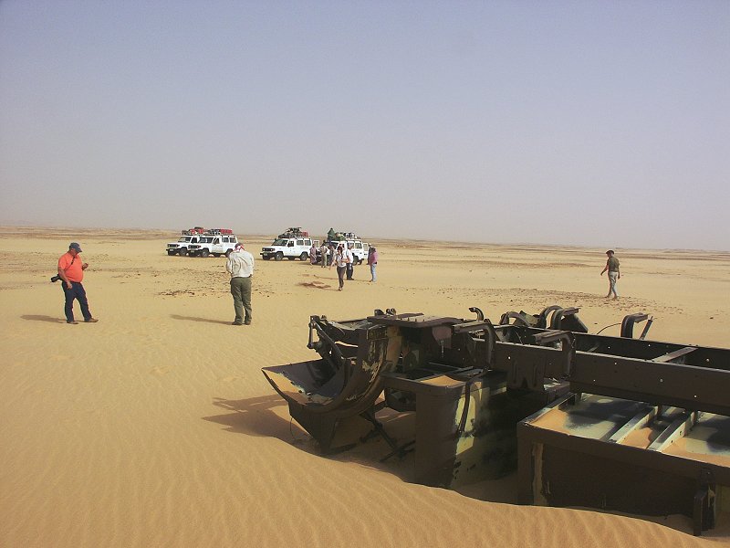
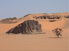
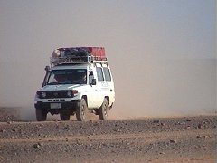
Our first two days were spent with the long drive to Dakhla, then south along the tarmac towards Bir Terfawi and accross the Selima Sand Sheet. This time we had no delays, we reached our regular camping spot by the dunes at the foothills of the south-eastern Gilf Kebir well before sunset on the second day. This time we have taken a slightly more northerly route accross the Selima Sand Sheet, and about 60 kilometres east of the Gilf we have come accross a previously unreported wreck of a WWII era Ford 30cwt light lorry. This model was used by both the SDF Kufra convoys and the Long Range Desert Group (LRDG), as the wreck was quite far north of the regular convoy tracks, it could well have been a LRDG vehicle.
Day 3. - Eight Bells - Shaw's Cave - Kemal el Din monument - Karkur Talh
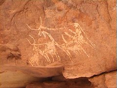
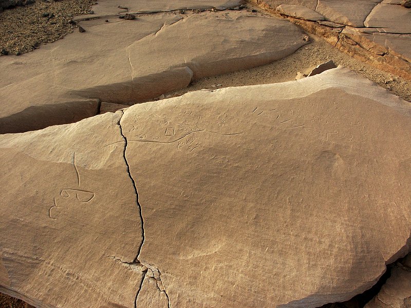
In the morning we passed by the WWII airfield at "Eight Bells", then continued to the only known rock art site in the south-eastern Gilf Kebir, Shaw's cave (Mogharet el Kantara). In the afternoon we continued by the way of the Prince Kemal el Din monument to our base camp in the southern branch of Karkur Talh at Jebel Uweinat. We arrived to camp early enough to visit some of the closer surrounding rock art sites. As we returned to camp, Jeff remarked on the nice giraffes on the rocks behind camp - it turned out he found a new site on the first evening on rocks we must have passed by dozens of times, with the faint engravings only visible clearly in the light just before sunset.
Day 4. - Karkur Talh
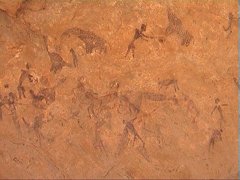
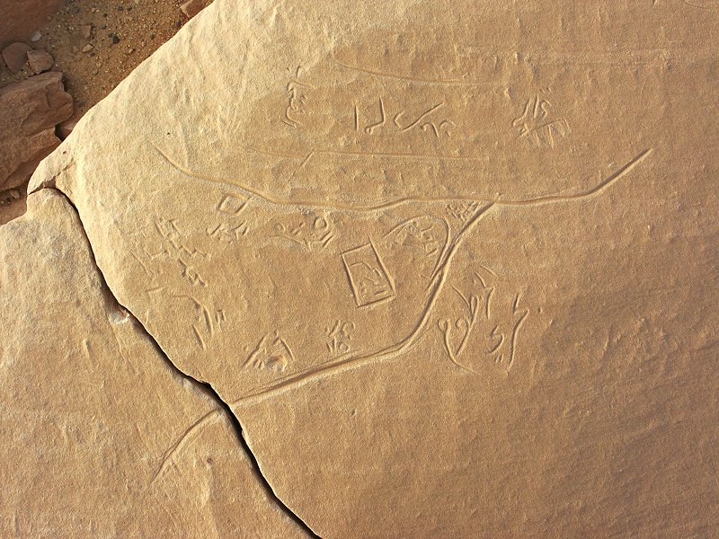
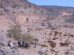
We have spent the day visiting the major rock art sites in the southern and main branches of Karkur Talh.
Day 5. - Karkur Talh
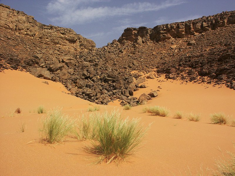
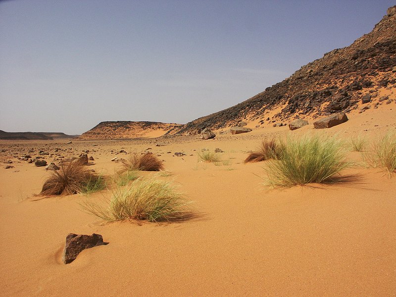
A full day was spent visiting the sites discovered by the 1968 Belgian expedition. As we walked up to the sites, we noted that some of the vegetation that sprrung up after the rains of 2005 were still green, more than a year and half after the last water.
Day 6. - Karkur Talh
In the morning we trekked to the outlying sites discovered by Bagnold and Winkler in 1938 near the watershed between Karkur Talh and Karkur Murr. On our way back we crossed some previously untraversed areas, and did chance upon a fine little shelter with paintings, including a very fine pair of human figures. In the afternoon we visited the many sites in the south-west branch of Karkur Talh.
Day 7. - Karkur Talh
After the long trek of the previous day, this one was spent in a more leisurely fashion. In the morning we walked up the western tributary of the southern branch of karkur Talh, near our camp, where in October 2002 we made a number of new finds. This time we have found a further six new sites in the area. In the afternoon, we visited the sites in the main northern tributary of karkur Talh.
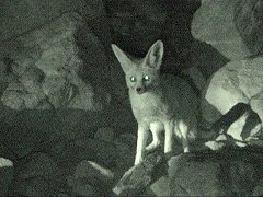
In the evening our old friends, the family of foxes visited once again. After the initial shyness several came close enough to take remarkably good video shots in torchlight.
Day 8. - Upper Karkur Talh
The longest trek of the trip was planned for this day, walking up to the head of the south western branch of Karkur Talh, to see the sites discovered on our February 2003 expedition.
Day 9. - Karkur Talh - Wadi Sora
In the morning we visited the paintings near the mouth of Karkur Talh, then drove north via Clayton's Craters to Wadi Sora.
Day 10. - Wadi Sora
The day was spent visiting the more important rock art sites in the Wadi Sora vicinity.
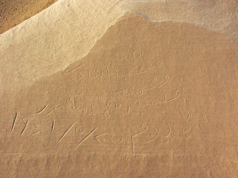
Near the "cave of swimmers" I came accross an interesting engraving, that we have not noted before. It was made in 1941 by a sudanese driver of the Sudan Defence Force, and it shows a map of the twin cities of Khartoum and Omdurman.
Day 11. - Wadi Sora - Aqaba pass - Wadi Abd el Melik
It was an all day drive from Wadi Sora to Wadi Abd el Melik, ascending the Aqaba pass, then a second step, and driving along the flat plateau top till the Lama Pass, the only known descent into the wadi.
Day 12. - Wadi Abd el Melik
In the morning we visited the known rock art sites in the eastern branch of Wadi Abd el Melik, then spent a couple of hours exploring both sides of the valley further upstream till the Ballanites trees we found in October 2004. We only saw two minor sites, probably also noted but not recorded by others, in the immediate vicinity of the engravings first reported by Friedrich Berger and Tarek el Mahdy.
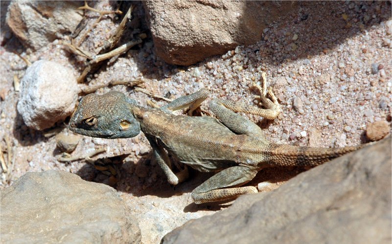
Near the paintings discovered by Bagnold & Shaw we came accross a pretty Agama mutabilis that paitiently posed for the cameras while the group took turns. The lizard was living under a large healthy Maerua crassifolia which was bearing fruit, something never before observed either in the Gilf Kebir or at Jebel Uweinat.
In the afternoon we continued north towards the middle section of Wadi Abd el Melik, passing the confluence of the two main branches. We stopped by the rock with engravings first reported by Giancarlo Negro in 1991, the only rock art site known in the middle and lower sections of the wadi.
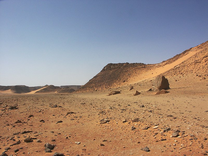
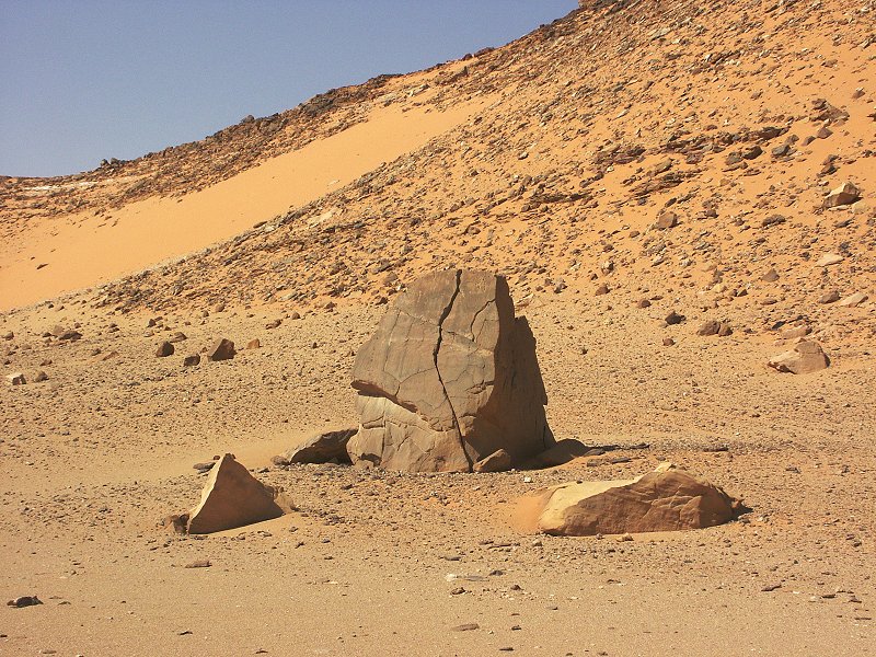

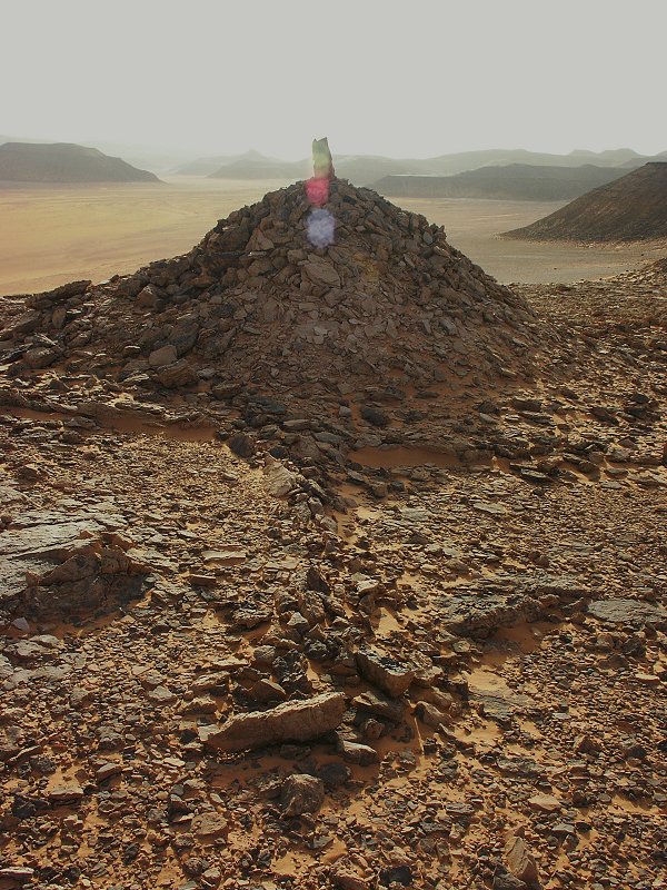
In a small side wadi we visited the unique tumulus first reported by Khaled Khalifa (Sahara 17), the only prehistoric funerary monument (?) known in the central part of the eastern Sahara (such monuments are numerous in the western part of the Sahara).
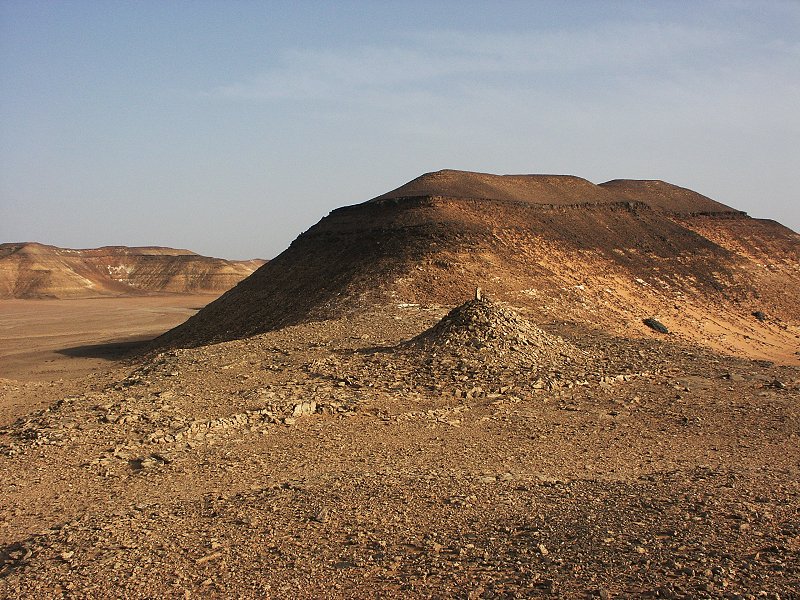
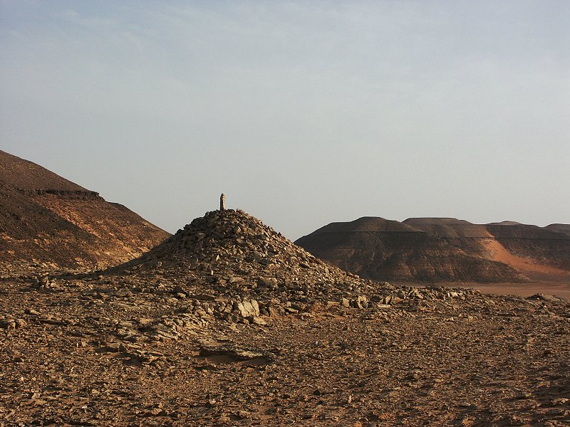
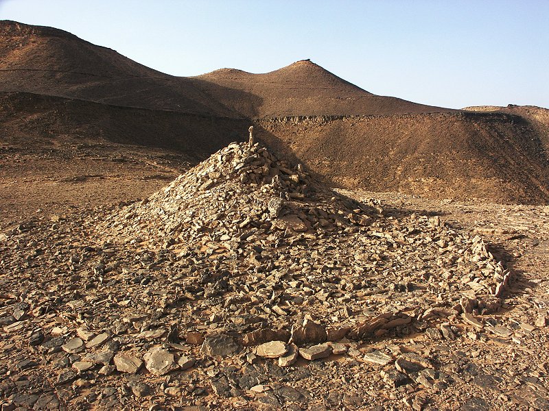
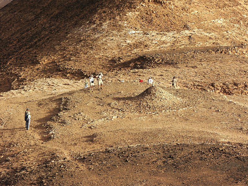
Our visit coincided with the spring equinox (March 22nd), and we noted that the line of stones pointing away from the tumulus towards the east is perfectly aligned with the direction of the setting sun on this date.
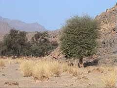
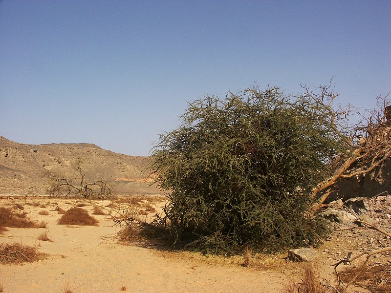
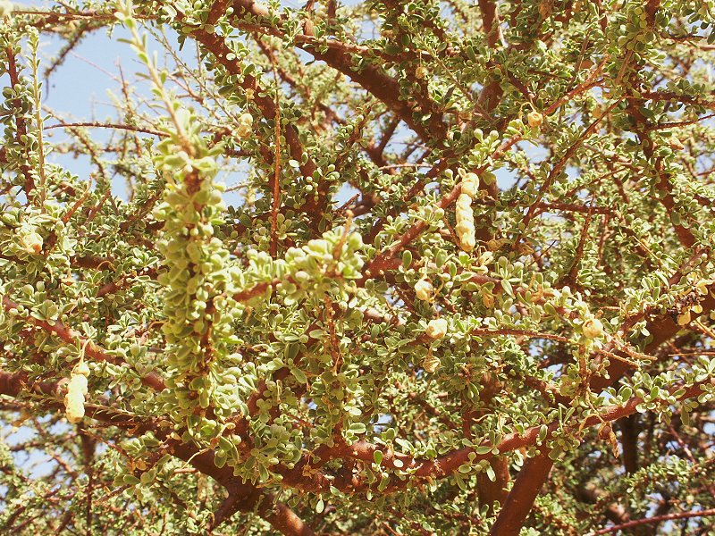
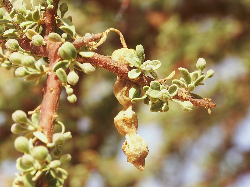
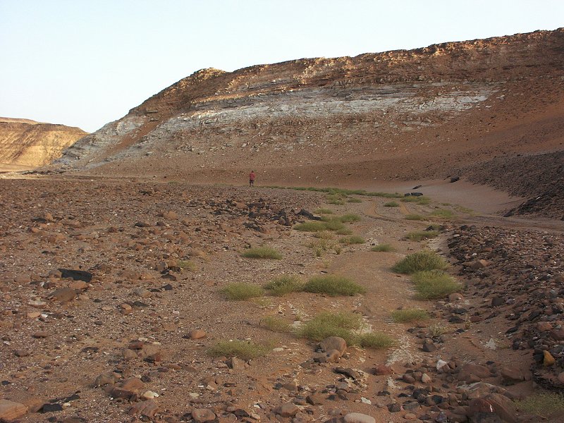
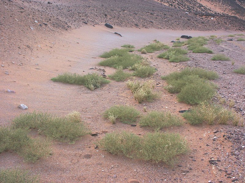
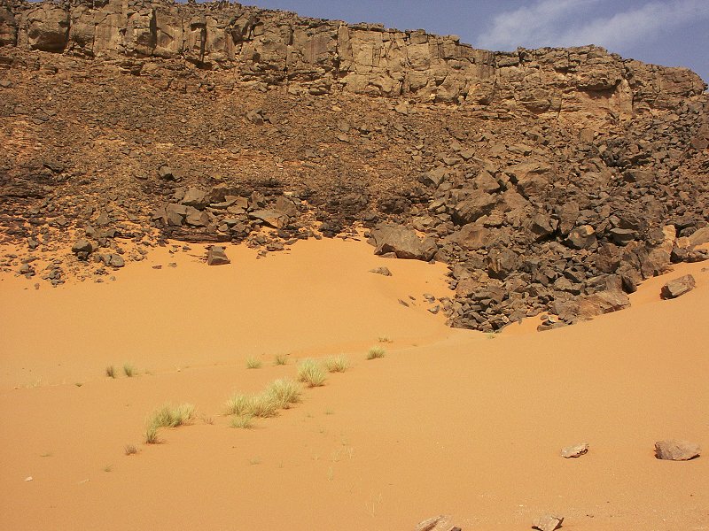
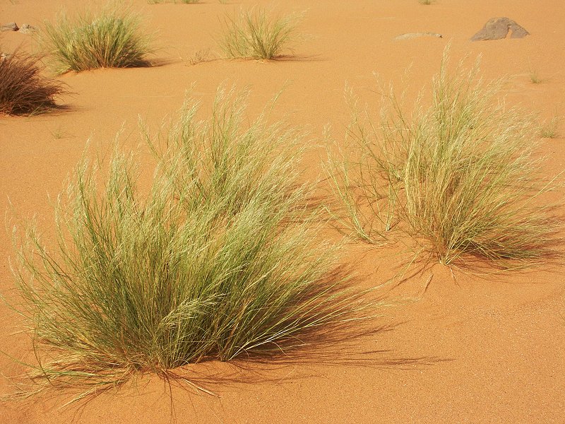
Near the tumulus, much to our surprise there was a little wadi full of fresh green vegetation. There must have been some very localised rains during the winter, as all other areas in the vicinity, including the main watercourse of the lateral wadi as well as the main wadi of Abd el Melik itself, were completely void of any green vegetation. The two dominant species weres Fagonia arabica and Astragalus vogelii, and two individuals of Morettia philaeana were noted.

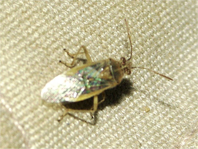
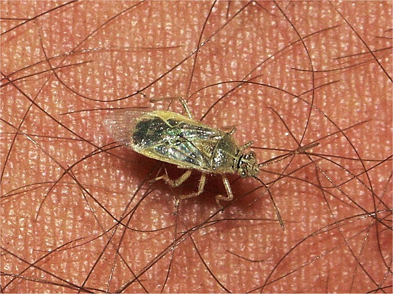
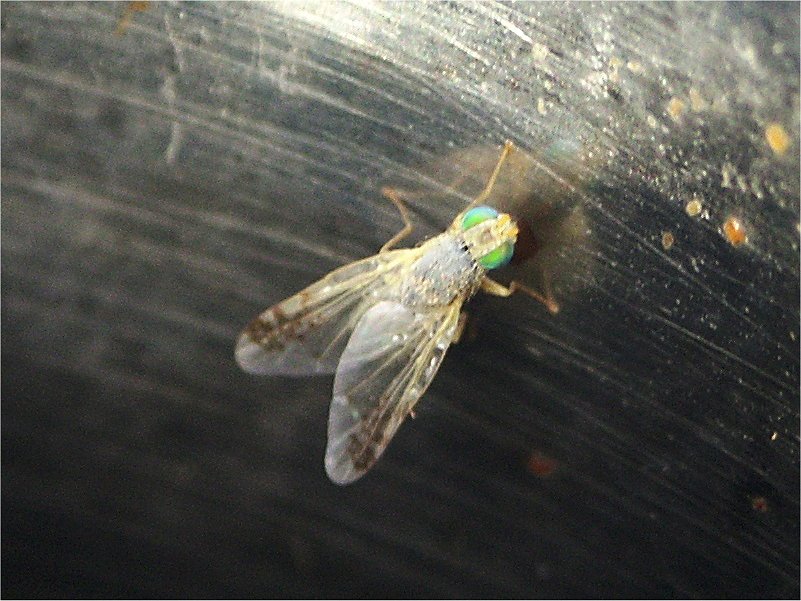
We camped in the lee of a large transverse dune. In the evening the air was filled with millions of small moths and other insects. The most abundant was a yet to be identified bug species, and a small fruit fly with bright green eyes that we also observed the following morning. Possibly this swarm of insects was also due to the localised rainfall, as it was never observed before.

Day 13. - Wadi Abd el Melik - Libyan Desert Glass area
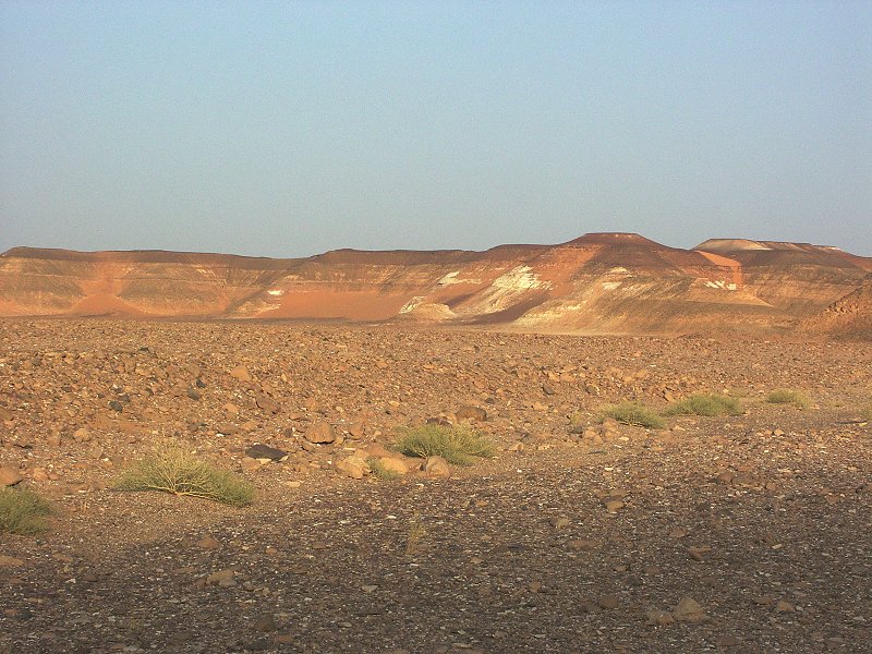
The gravel close to our campsite was a perfect study in ancient pigments. We could find all three of the major colours side by side, white chalk and red and yellow ochre.

we took a new route from Abd el Melik to the Silica Glass area, leaving the wadi in the middle section via a lateral wadi to the east and making our way north east via a maze of unnamed wadis till we emerged right in front of the dunes marking the first corridor of the LDG area. In one spot we came accross a little gully with a tight cluster of fresh green grass, apparently the marker of another localised rainfall (the species appears to be Aristida or Stipagrostis, not yet identified).
The weather that showed full cooperation uptill now by not being too warm or too windy turned markedly for the worse as we approached the LDG area. A strong hot south wind started blowing at midday, and by the time we reached our camping spot, we had mild sandstorm conditions. We took shalter in the lee of a large dune slipface, and hoped for the best for the next day.
Day 14. - Libyan Desert Glass area - Great Sand Sea
Unfortunatly the weather did not improve, it got progressively worse. As we drove north, visibility often dropped to a few hundred metres due to the blowing sand. About a hundred kilometres north of our camp, we observed a very strange penomenon. In a span of no more than 30 minutes the strong south westerly wind turned almost 180 degrees, and we were driving into an equally strong north wind, accompanied by a more than ten degree drop in temperature. The pleasantly warm weather turned markedly chilly, while the sand kept blowing as strong as ever. We drove in such conditions till dusk, making camp in the lee of a dune about 60 kilometres south of Siwa.
Day 15. - Great Sand Sea - Siwa
Miraculously the wind died overnight, and we awoke to a clear but very cold morning. We crossed the last dune ranges in a few hours, and well before midday we were standing on the crest of the last dune overlooking Siwa.
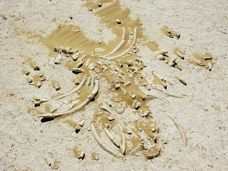
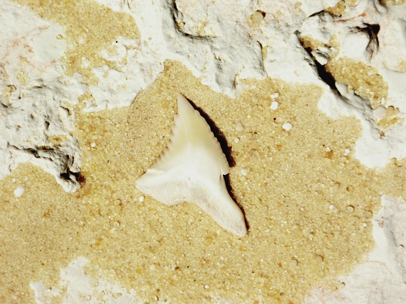
In the miocene fossil beds to the south of Siwa we have come accross the exposed skeleton of a cetacean, and several shark teeth.

Day 16. Siwa - Cairo
The last day was an uneventful long drive back to Cairo via Mersa Matruh and El Alamein.