
 |
Jebel Uweinat |
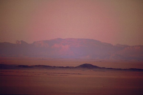
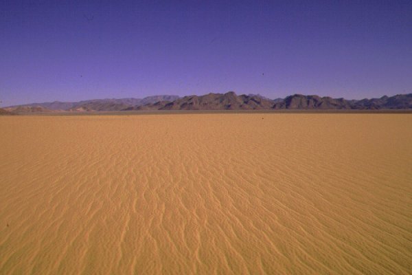
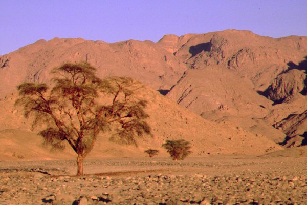
Jebel Uweinat is the most formidable mountain in the genarally flat and featureless Libyan Desert. Situated roughly at the centre of the aridest area, it stands out like an island from the surrounding plain. It's height is sufficient to capture a little precipitation from the summer monsoon clouds of the sahel belt that occasionally reach this far north. These rains are very infrequent, the last one was recorded in september 1998, and probably as much as 10-15 years may pass without rain. However even this little rain is sufficient to allow some vegetation and wildlife in the larger valleys.
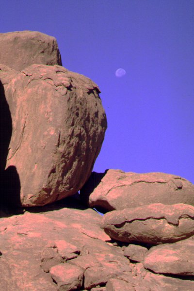
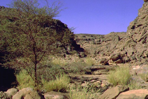
Geologically the mountain is composed of two very different parts. The western part, lying entirely in Libya, is composed on a large granite ring complex, about 25 kms in diameter, the eroded remnants of a large archaic granite dome. The interior is less resistant to erosion, thus a large basin occupies the centre of the ring, with three large wadis, Karkur Hamid, Karkur Idriss and Karkur Ibrahim draining the interior towards the west, all supporting scarce vegetation. As granite erodes, it forms huge boulders, that are stacked upon each other like an emptied bag of potatoes. The southern half is less eroded, there a large large crescent shaped plateau fills the interior of the ring, much dissected by shallow water courses. This plateau apparently acts as a large reservoir after rains, as two permanent springs, Ain Ghazal and Ain Doua can be found at the southern foot of the mountain. Since the base of the mountain is well above the permanent aquifier, the source of the water can only be rain, however they never went dry in living memory.

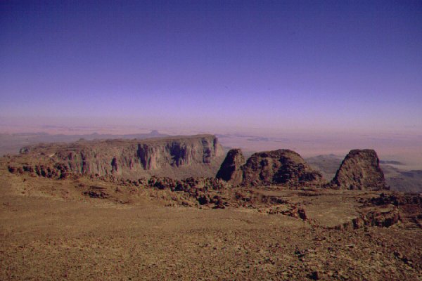
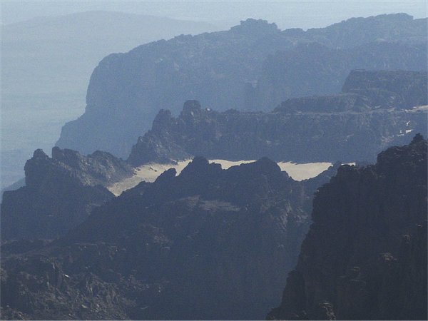
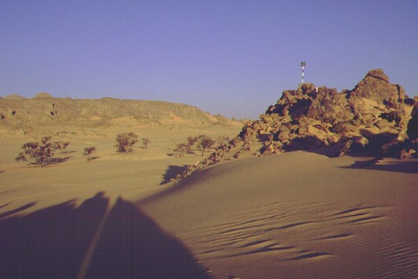
The eastern part consists of a large block of paleozoic sandstone, resting upon metamorphosed precambrian basement rocks, propped against the granite uplift to the west. The sandstone slab forms a large elevated plateau, that is dissected into several large units. The massif to the south is the highest point of the mountain (1932 m), and another three large, slightly lower plateaus lying to the north, surrounded by vertical cliffs. To the north the sandstone hills continue, much dissected for a further ten kilometres to the north and the east. To the south, the cliffs form a vast perpendicular wall dropping almost 600 metres to the foot of the mountain. The high plateaus and the northern foothils are drained by a large complex wadi system, which merge into Karkur Talh. A lesser valley, Karkur Murr drains the eastern foothills to the south. Near the mouth of Karkur Murr there is a permanent rock pool, Ain el Brins (Bir Murr).
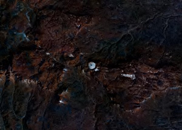
There is a curious feature on the western tip of the easternmost of the large sandstone plateaus (named Hassanein plateau by the Belgian team in 1968). It is a white circular patch, about 350 metres in diameter, that strikingly stands out on satelite photos. During our ascent in 2002 october, we could take a peek into this "white blob" at a shallow angle from a vantage point, but as we ascended higher up the main massif it became hidden from view. From what could be seen, it is a sand filled depression or basin, with walls of sandstone that are sloping on the inside, and drop almost perpendicularly on three sides to merge with the cliffs of the plateau. It is highly speculative, but it could be the remnant of an ancient impact crater, as there is little ready alternative explanation for a deep circular depression eroded into an otherwise flat plateau, with walls that apparently resist erosion much more than the surrounding rock. Impact-fused sandstone walls would explain the erosion resistance. A two day trek is planned on one of the future trips to investigate.

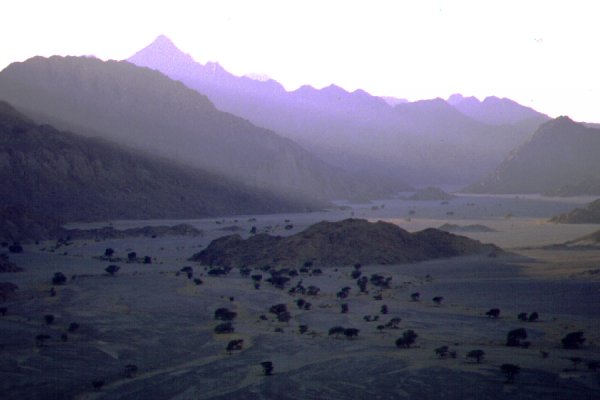
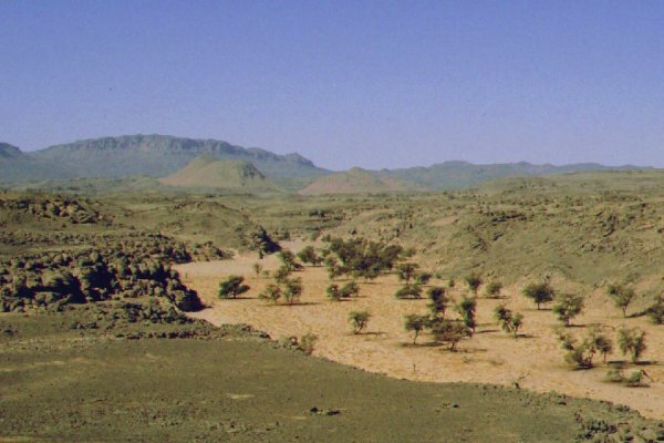
Karkur Talh is the largest valley of the mountain. It's mouth, marked by two acacias visible for many kilometers, opens onto the broad sand plain flanking the mountain on the north east side. From the narrow mouth choked with sand dunes, the valley winds for some 25 kms towards the base of the sandstone plateau forming the highest part of Jebel Uweinat. Except for a few kilometers in the beginning, most of it lies within Sudan. (The border was marked recently by a sign, the only trace of recent human activity in the otherwise untouched valley). As one proceeds inwards, the thinly spaced vegetation become more frequent, with a dense akacia forest, continuous tufts of panicum grass and colocynths covering the valley floor in the broad middle section.
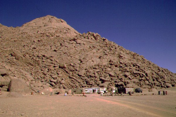
In prehistoric times, the valleys were densely populated, as attested by the hundreds of rock paintings and engravings that may be found in shalters along the sides of all the main valleys. More recently Tibou nomads inhabited the mountain up till the arrival of tyhe earliest explorers in the mid twenties. By 1931 the Tibou were gone, driven away by the incrasing aridity. Presently there is a Libyan border post at Ain Ghazal, and a small police post at Ain Doua. A heavily used desert track passes by along the western rim of the mountain linking Kufra with El Fasher in the Sudan.


|

|

|