
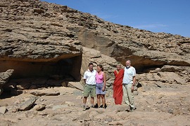
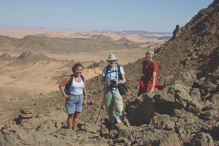
 Click on image for list of participants |
Jebel Uweinat Expedition, Egypt 14th - 29th October , 2006 NOTICE: The rock art photos on this page are strictly copyrighted ! No photo may be copied / used for any purpose without written permission. |
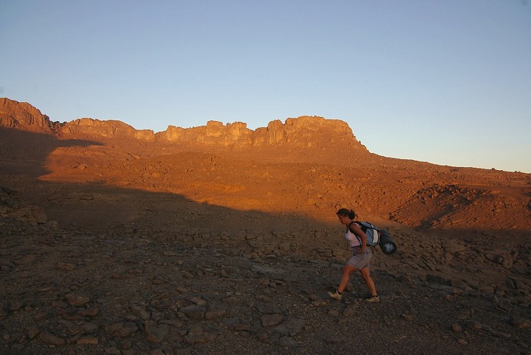
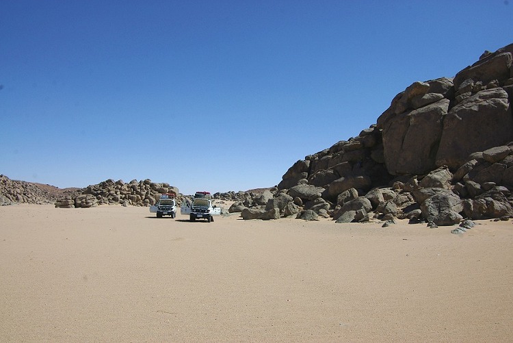
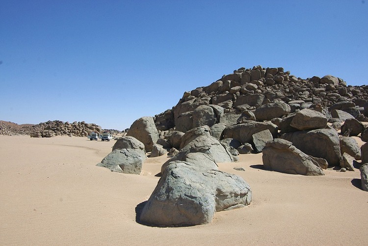
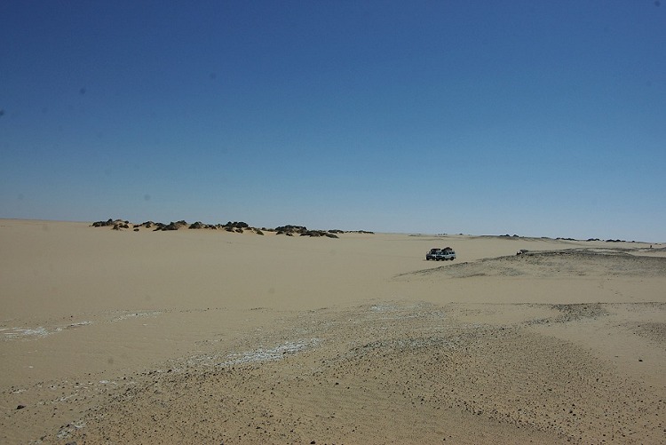
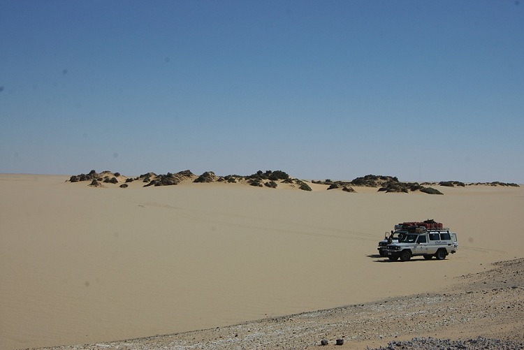
Day 1 - 2. - Cairo - Dakhla - Selima Sand Sheet
As our objective was to maximise our stay at Uweinat, we tried to cover as much ground as possible on the first two days. Unfortunately our assigned officer spoiled the plan by only materialising in Dakhla at 11am on the 2nd day instead of the previous evening. Nevertheless, we covered good ground, and reached the dunes at the middle of the Selima Sand Sea for camp.
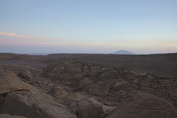
Day 3. - Selima Sand Sheet - Karkur Talh
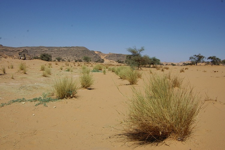
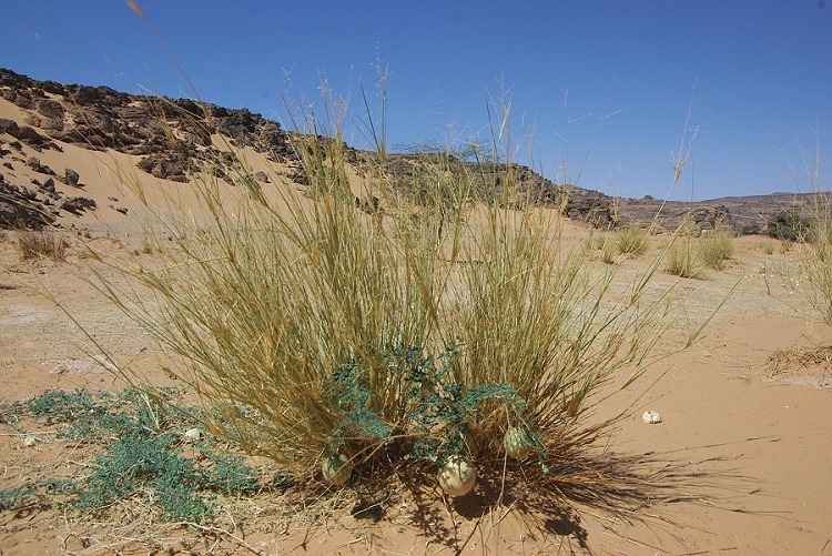
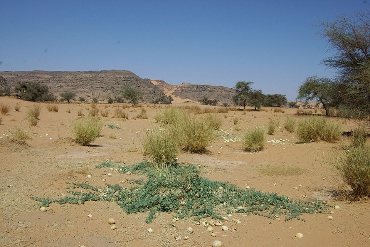
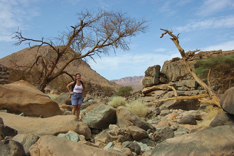
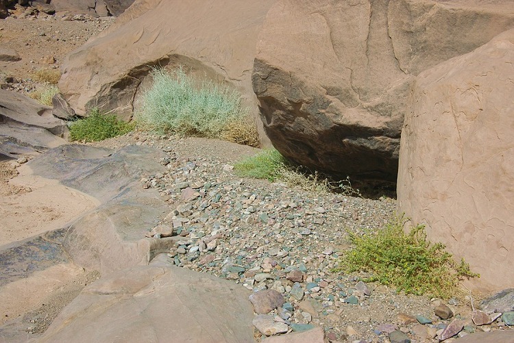
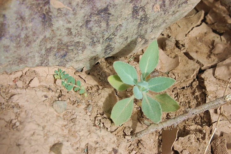
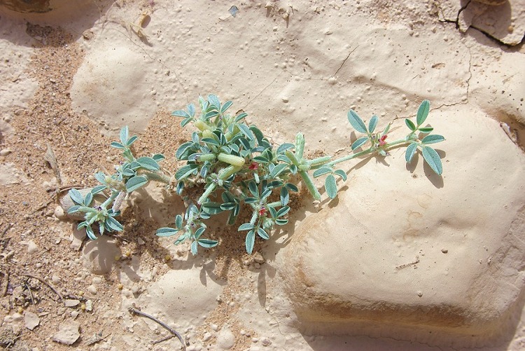
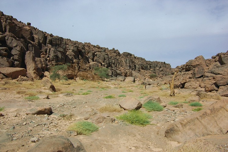
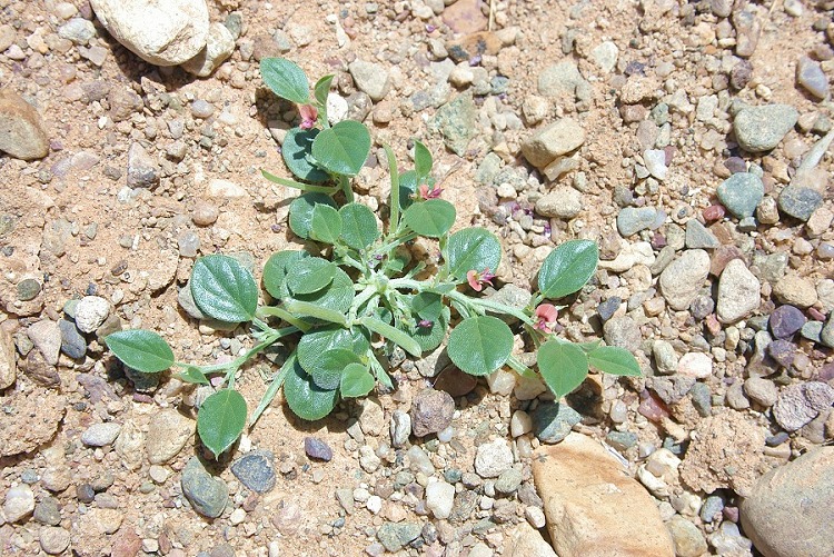
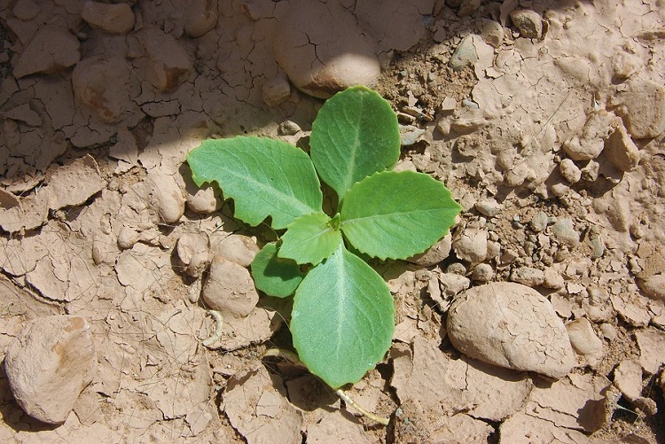
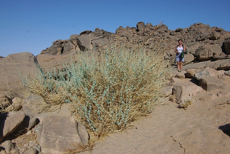
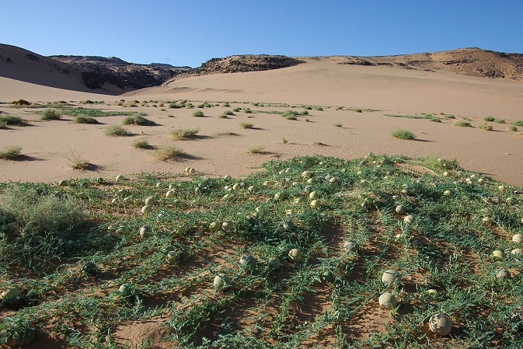
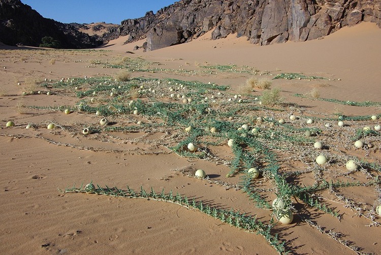
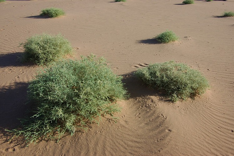
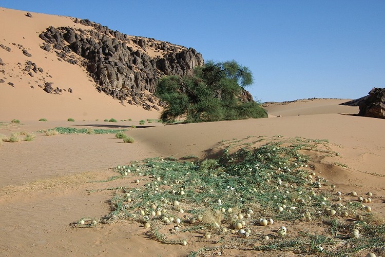
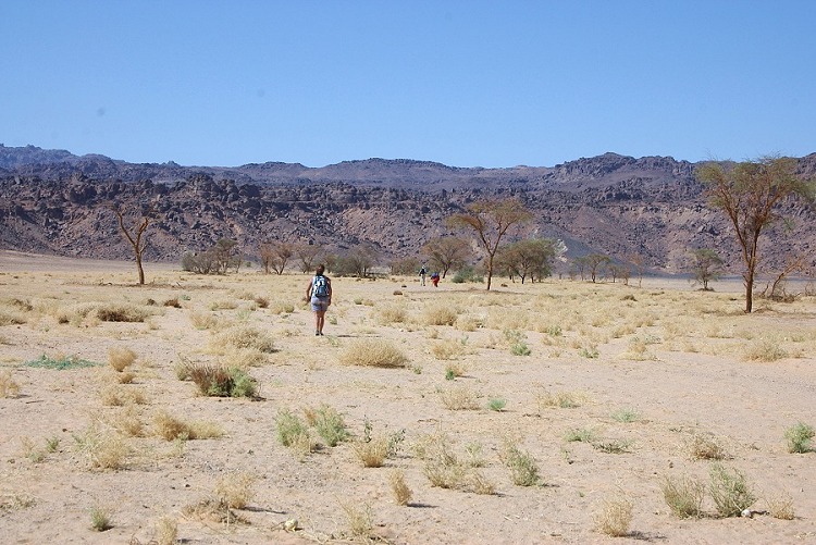
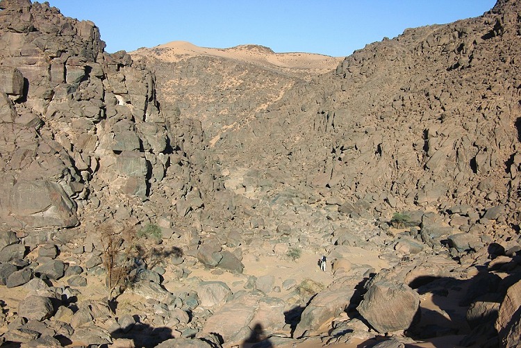
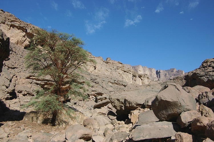
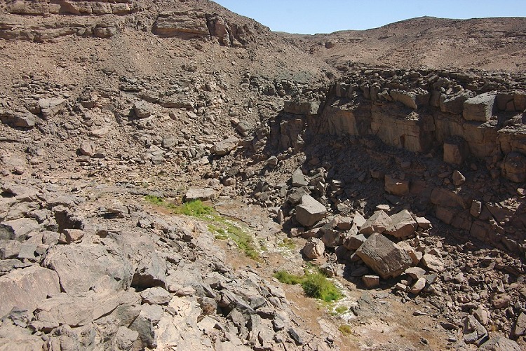
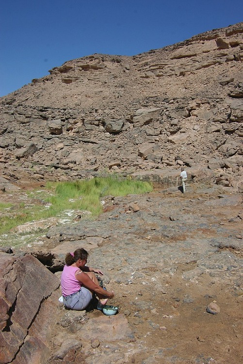
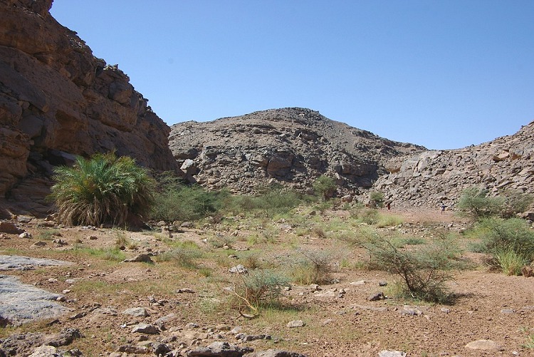
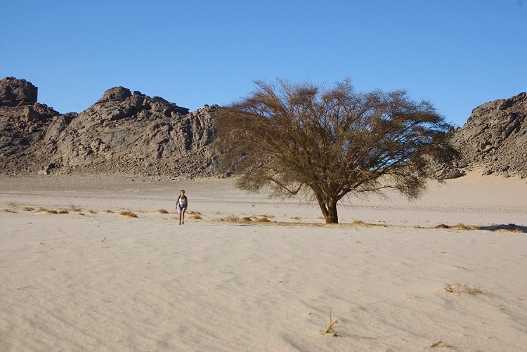
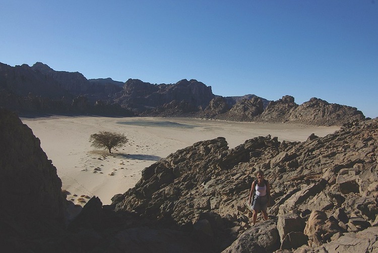
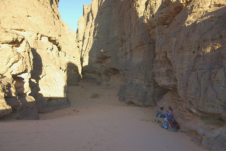
By midday we have reached our usual camping spot at Karkur Talh. After making camp, we set out to the main valley to see what the vegetation was like one year after the rains. Much to our surprise, we found thriving green vegetation at the end of the waterflow. Primarily Citrullus colocynthis, which was not only green but flowering and bearing fresh fruit. Also the tufts of Panicum turgidum were mostly green, as well as a few other species. It is amazing that these plants can survive for a whole year on the water they received a year before. The ground under the sand must hold moisture for a lengthy period.
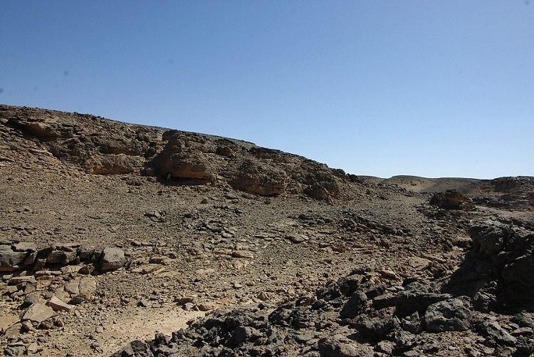
Day 4. - Upper Karkur Talh
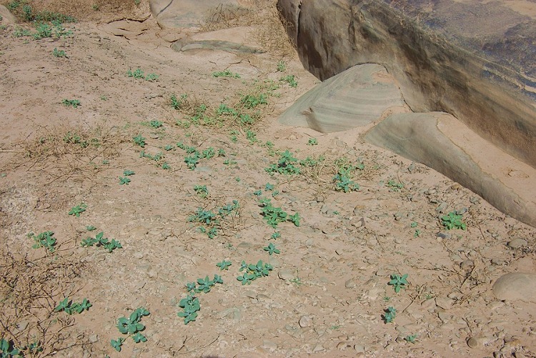
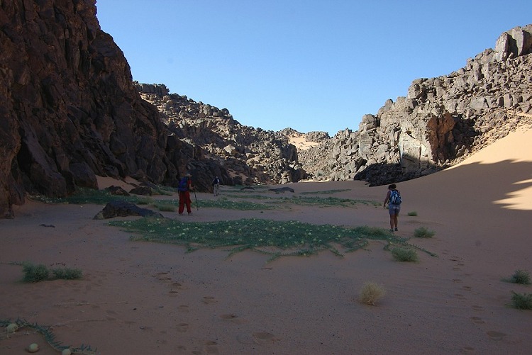
The plan for the day was to go to the rock art sites found by the Belgian expedition in upper Karkur Talh. Liz and Jon would stay to photograph the sites in detail, while with Magdi we planned a long trek up the western branch beyond the sites, to explore a rugged rocky area that was spotted on high resolution satellite imagery, which looked like a promising rock art area. As soon as we set out, green plants were everywhere. We have found live and green specimens of most of the species noted a year earlier, and interestingly no other new species were noted. (A detailed description of the botanical observations will be available soon on the page describing the aftermath of the rains of 2005, and the individual flora species pages.)
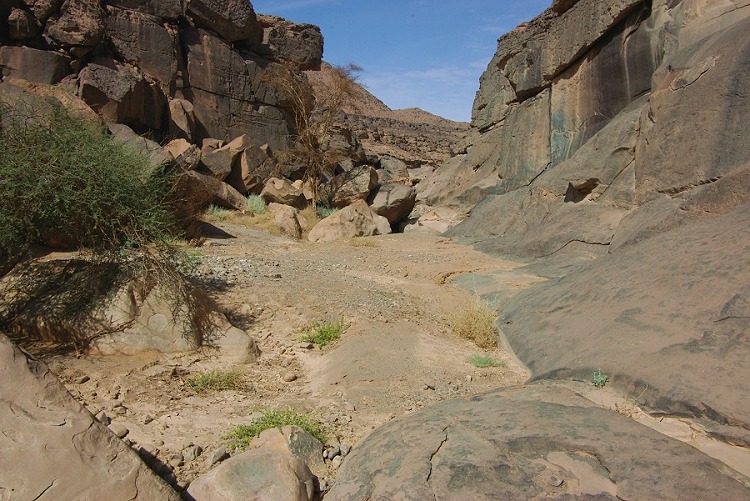
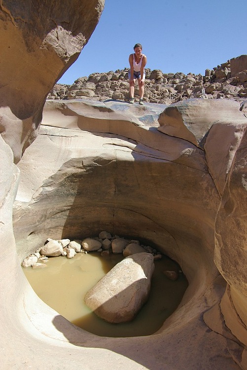
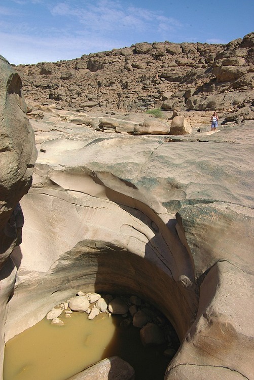
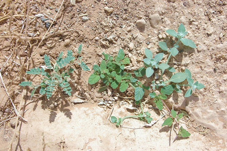
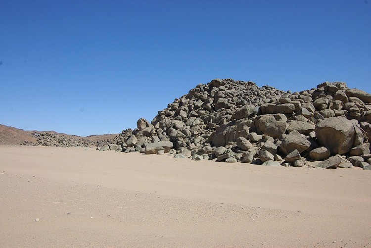
We passed the confluence of the two branches of the main north-western branch of Karkur talh near a pair of conspicious basalt hills. We could ascertain that both branches contained live vegetation, implying that the rainfall covered the upper drainage areas of both wadis. As we continued upstream, we noticed several plants that appeared very young and fresh, clearly having sprouted recently rather than a year before. With abundant vegetation all around, the realization did not sink in until we came about a large eddyhole in the bed of the wadi - it rained this year too !. The bottom of the hole contained a brackish pool of water which could not have lasted for a year, undoubtedly it was the remnant of a rainfall some weeks before.
Further upstream we found plenty of fresh growth intermingled with the one year old plants. We also found fresh growth in a small northern side wadi that showed no signs of the older vegetation. The rain was probably small and localised, as the fresh growht was first noted only a few hundred metres below the hole containing the water. unfortunately we did not have the time to go further upstream along the main watercourse to see if there were any further pools.
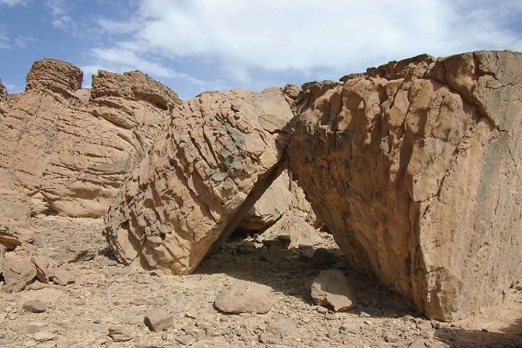
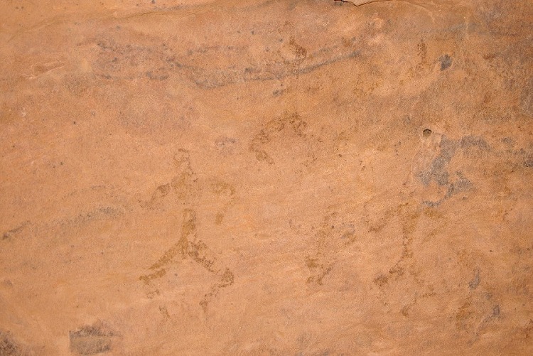
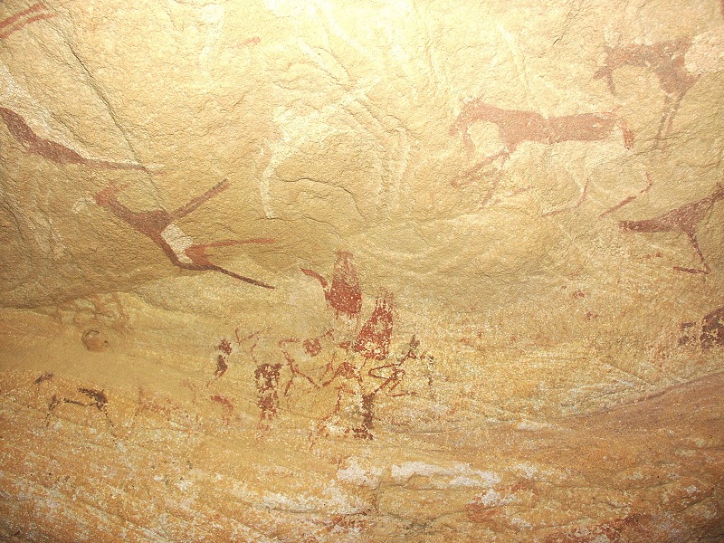
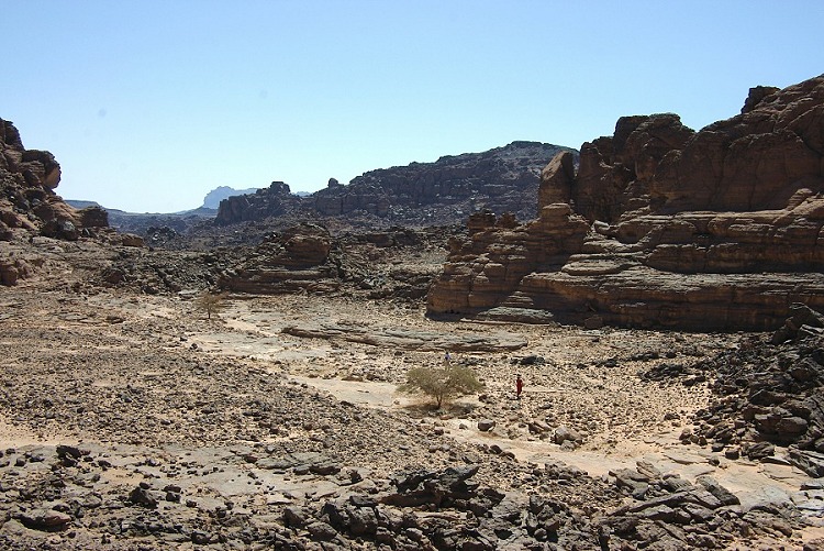
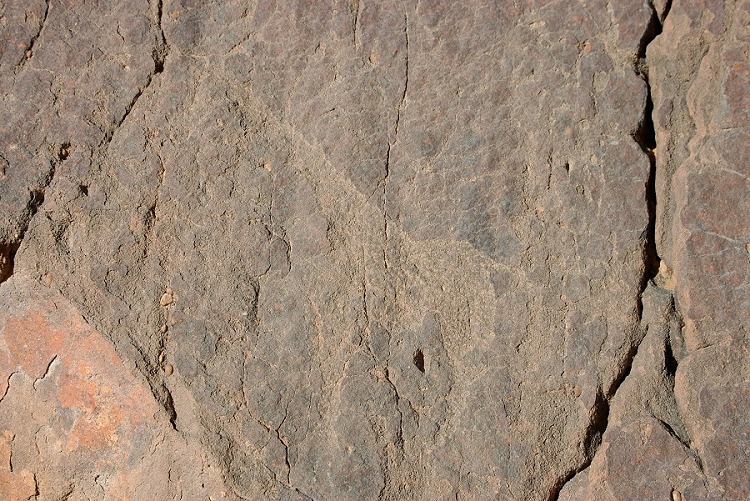
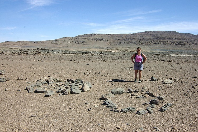
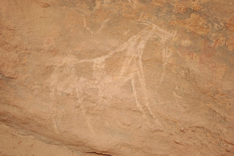
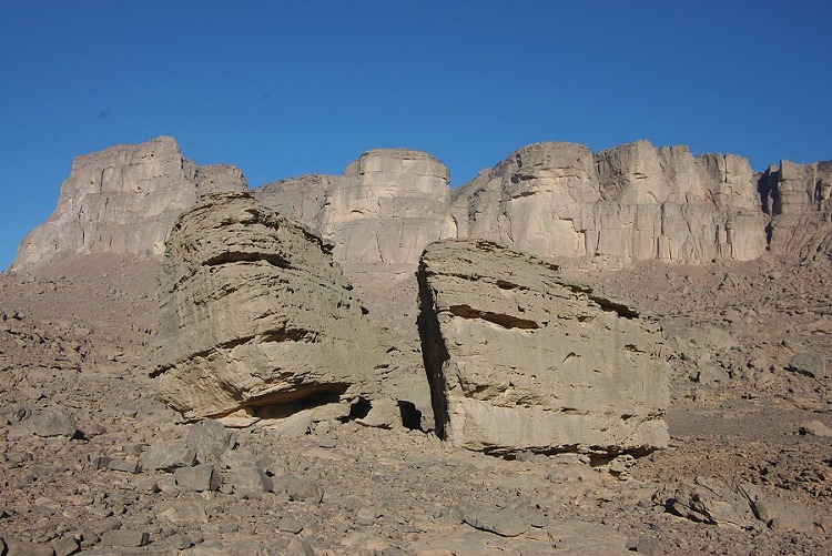
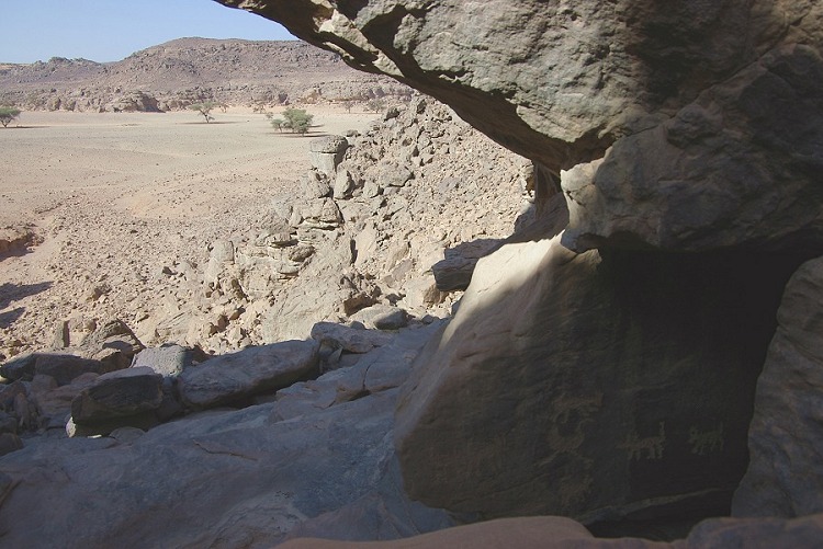
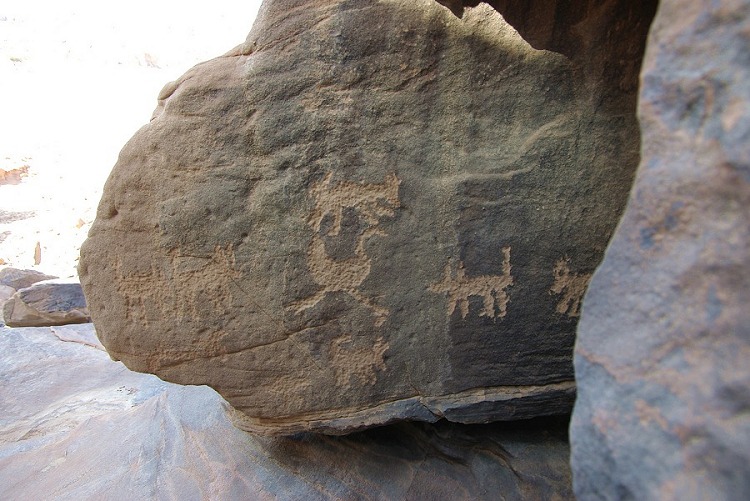
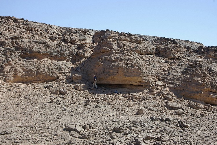
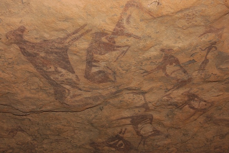
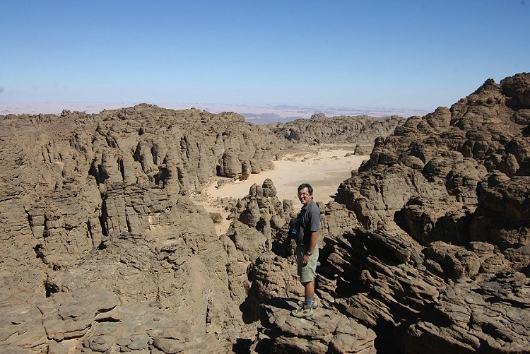
Soon after the little side wadi with vegetation, quite high above the main valley floor on the plateau, we reached our targeted area, which looked as promising on the ground as on the satellite imagery. The area was strewn with large eroded sandstone blocks and boulders along a low scarp. We soon found one rock art site with some rather faint cattle, and while I photographed them Magdi found two more in the vicinity, including a very interesting figure in the "Wadi Wahesh" style.
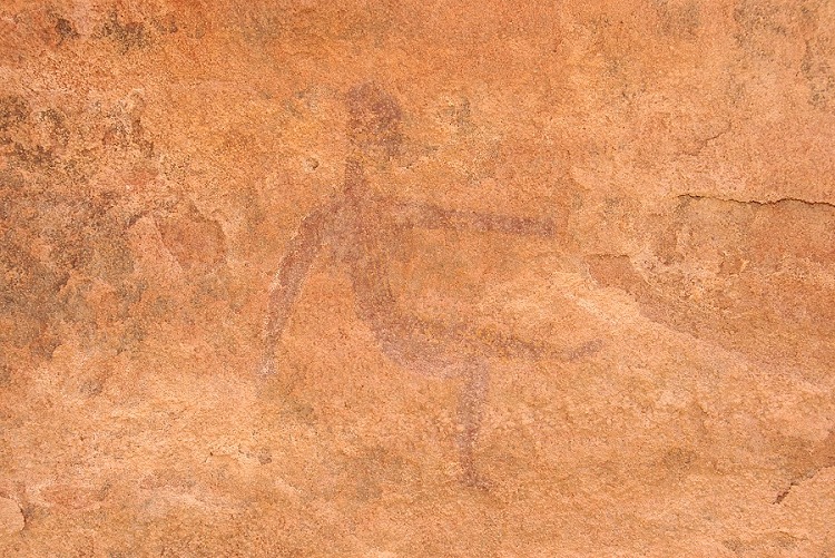
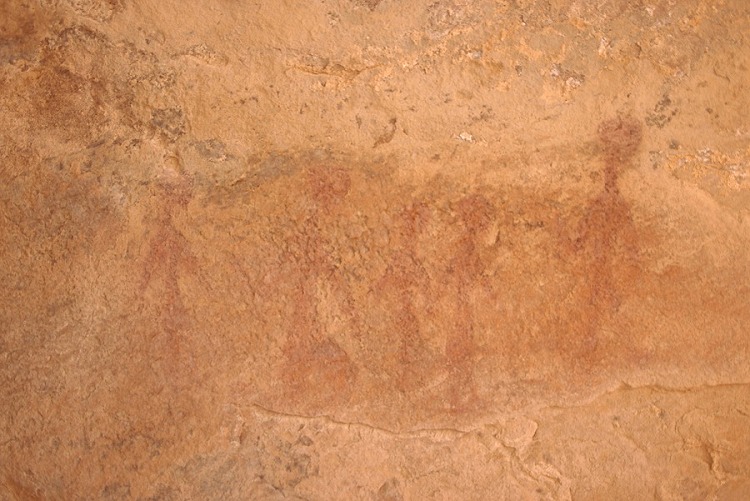
We chose to return not along the valley floor, but following the contour on the plateau above. On ourway we came upon two more sites, both containing paintings of the 'Uweinat roundhead' style.
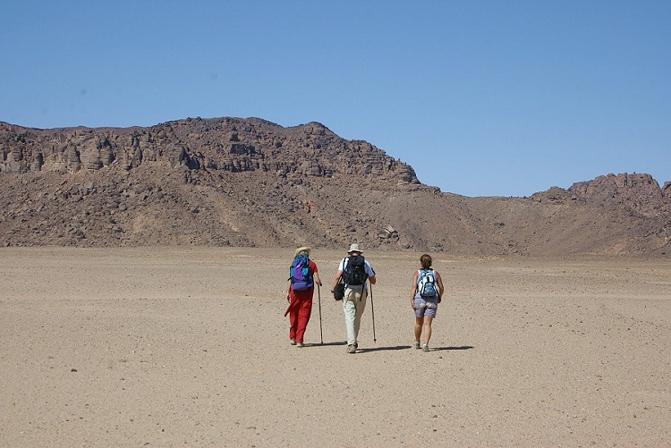
Day 5-6. - Upper Karkur Talh
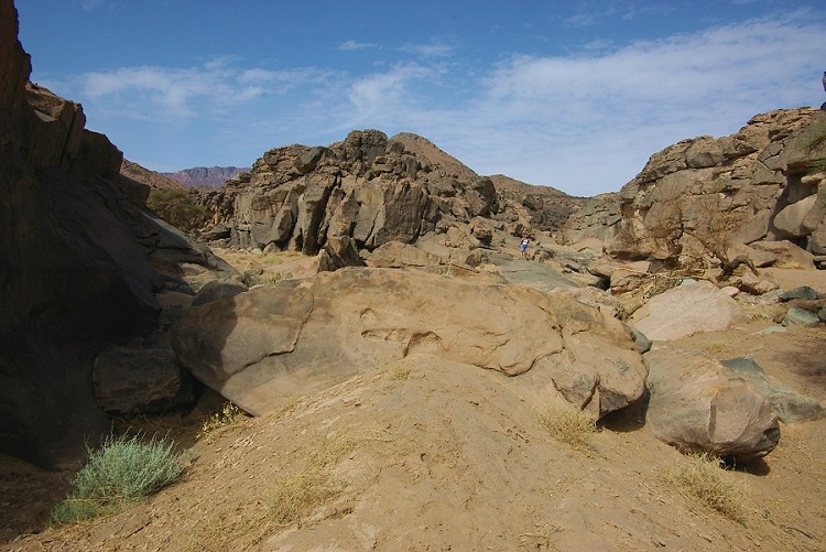
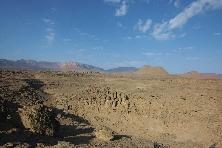
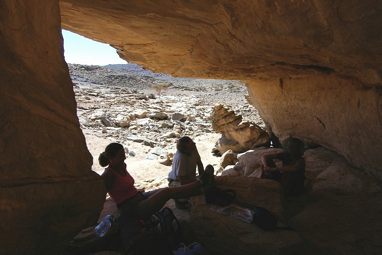
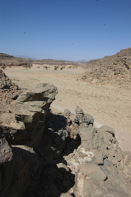
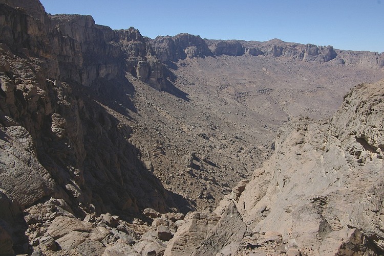
In the morning we started out again by the way of the Belgians' sites, aiming to explore the ridge separating the northern and southern main branches of Karkur Talh (the 'frog's legs' on satellite imagery). The previous day while walking back with Magdi on the opposite side, we spotted several promising looking shelters high above the valley floor. Unfortunately when we reached them, we found nothing but a superb view, and the same was true for all the other promising rock outcrops in the area.

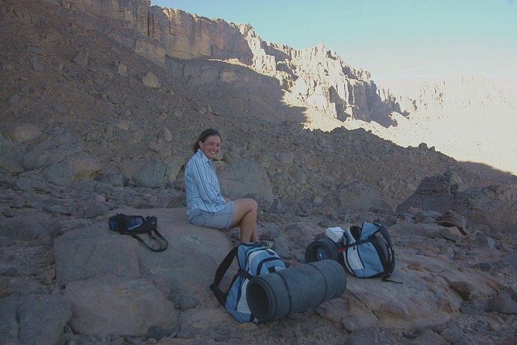
We continued down the far side of the ridge, and made our temporary camp at the rock art sites found in february 2003. We spent a very pleasant and leisurely afternoon re-visiting the sites and taking photos.
In the night, we had an unexpected visitor. There was a loud rattle from the direction of the empty food tin, which stopped as one of us moved. However it soon restarted, and after a while in the light of a red LED torch I could make out the culprit - a little gerbil, merrily cleaning off the scraps from the meat tin.
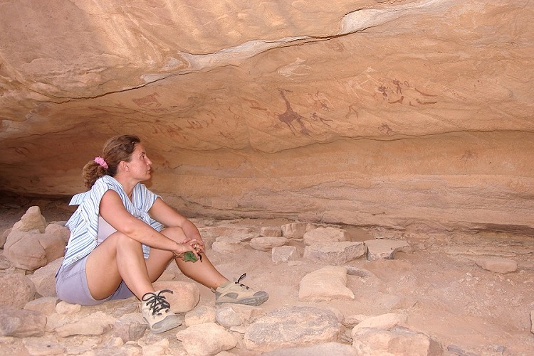
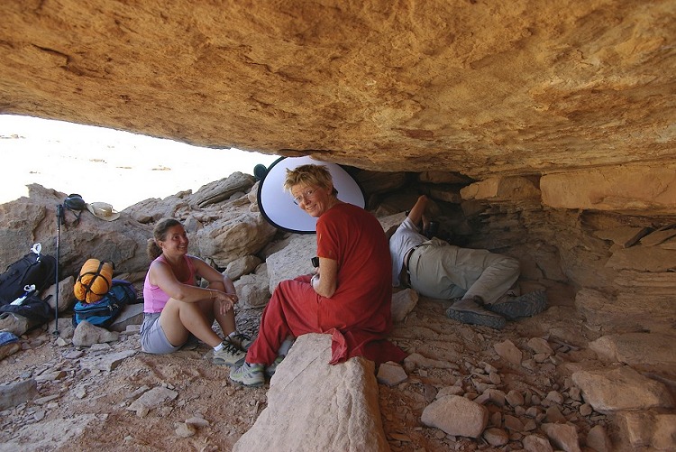
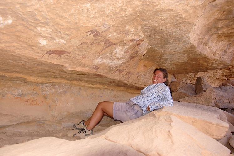
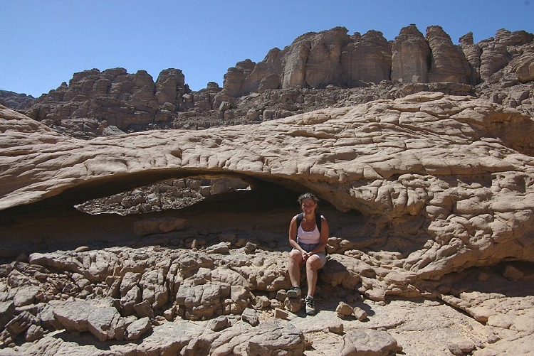
The following morning, while Liz & Jon stayed to take photos, we attempted to find a way up to the plateau north west of the Hassanein plateau. Starting at first light, we made good way up the scree, however when we came close to the cliff face it became evident that all the routes that looked feasible on satellite imagery and through the binoculars contained several steps of vertical rock face, exceeding our climbing abilities. We returned to base a little disappointed, but Liz soon cheered us up by showing a hidden panel of paintings at one of the sites that we all missed on several previous visits.

Having time to spare, we decided with Magdi to take the long way back to the car along the wadi floor rather than the quick and direct way accross the flat plateau top. The south western branch was only explored once, when we made our initial ascent of the Hassanein plateau in february 2003. The walk was very pleasant, however we did not find anything new.

Day 7. - Wadi Handal
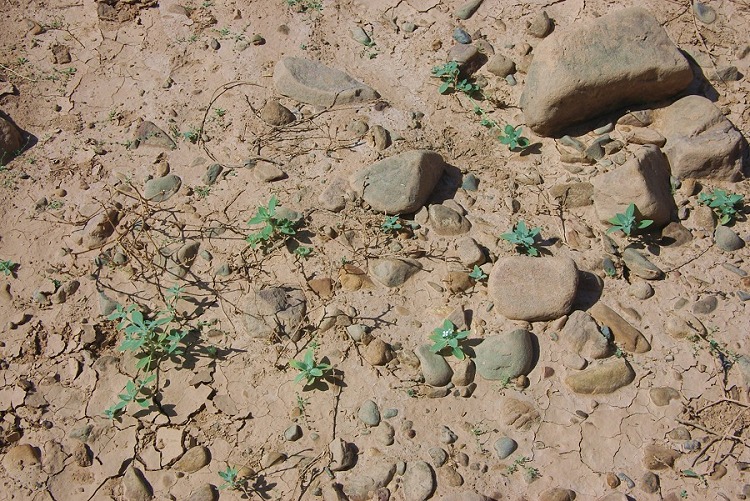
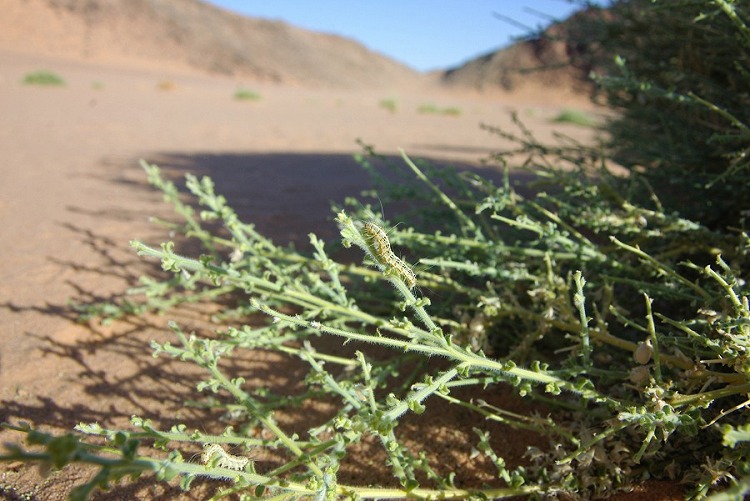
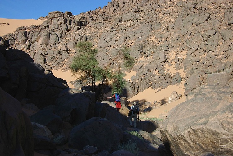
We made a day-trip to Wadi Handal to explore it's upper reaches, principally an area of broken rocky country that we saw on satelite imagery to the west of the large upper basin of the wadi. As we reached the mouth of the wadi, an amazing sight greeted us - the whole valley was bright green with thriving Citrullus colocynthis and Crotalaria thebaica shrubs. More surprising, the shrubs were full of green catepillars and a moth species (Utetheisa lotrix) that was not seen befores.


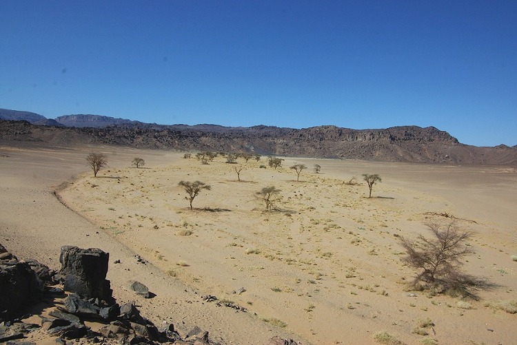
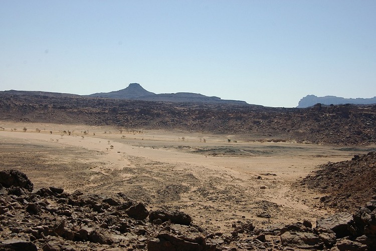
We made our way upstream, past the last point visited in October 2005. Vegetation was abundant everywhere, however there was no fresh growth to indicate recent rain. we reached the large basin visible on the satellite imagery, it was evident that the whole valley was green last year, and some of that vegetation still remained. From the vegetation traces it was clear that the water came from the plateau to the south of the basin.

We left the thorough exploration of the basin for another time, climbed out towards the east towards our targeted area. After scaling a scree slope, we found ourselves on a very broken plateau, drained by a small wadi that was full of green vegetation. We explored the wadi and environs thoroughly, but found nothing of interest save for the unexpected vegetation.
We descended the plateau towards the north, down a very steep slope and followed a side wadi in a big arc back to Wadi Handal, to the point where a few engravings were found last year. This time, after a thorough examination of all the rocks in the vicinity, a few more were found.

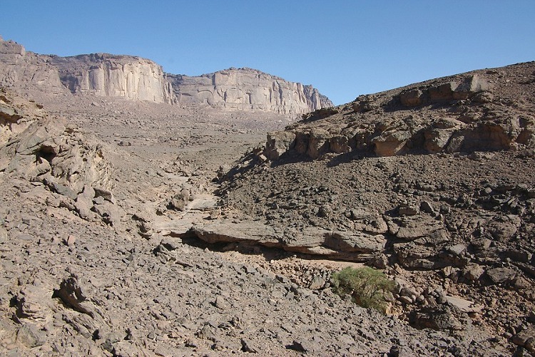
Day 8-9. - Karkur Murr & South Uweinat
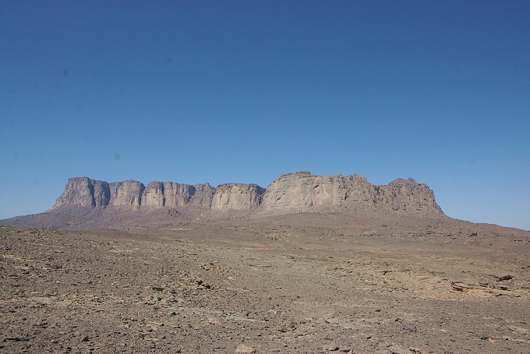
There is a large plateau criscrossed by faults and wadis to the south of the Hassanein Plateau, and to the west of Karkur Murr. We did trek along the top of it in darkness on our way back from the peak of Uweinat in October 2002, however the area remained completely unexplored. Our plan was to make a two day trek, spending the night in the area, and explore as much as possible. We started out by way of Winkler's site 81 to take a few photos.

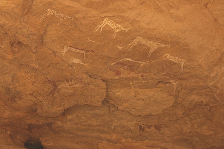
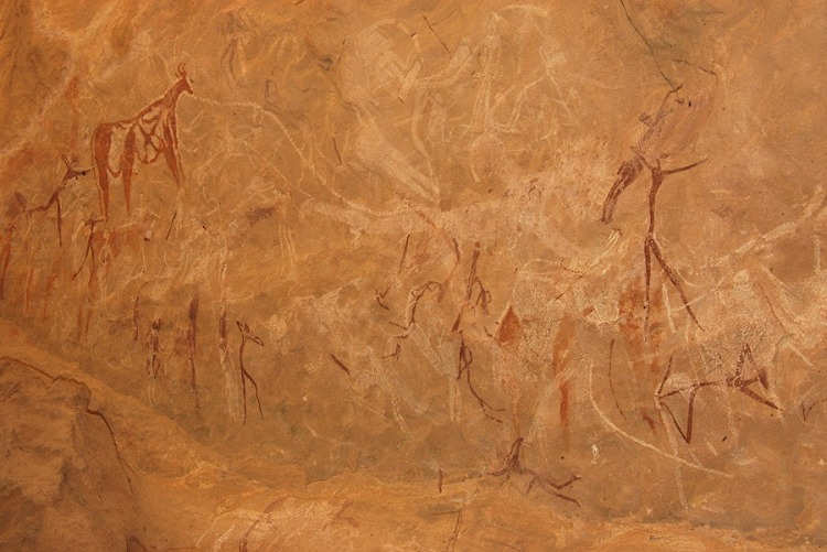
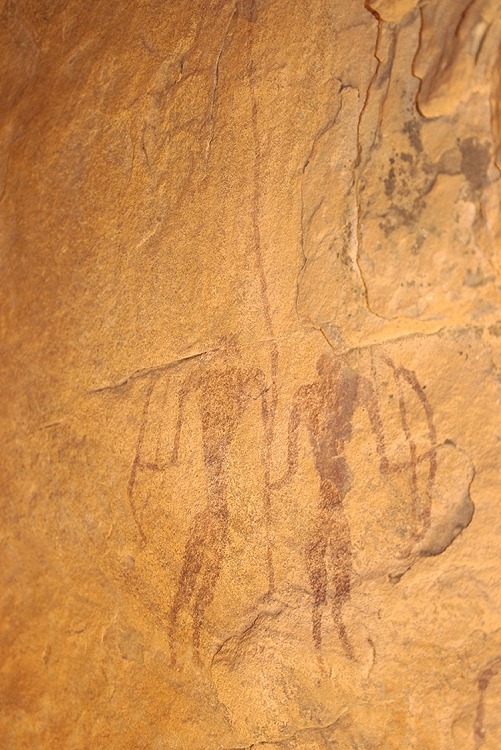
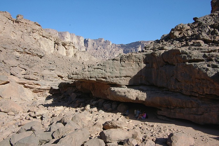
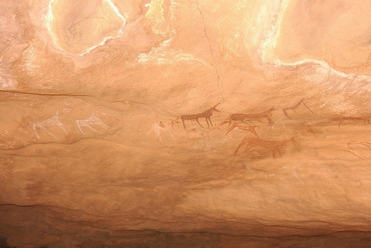
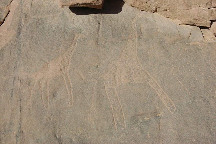
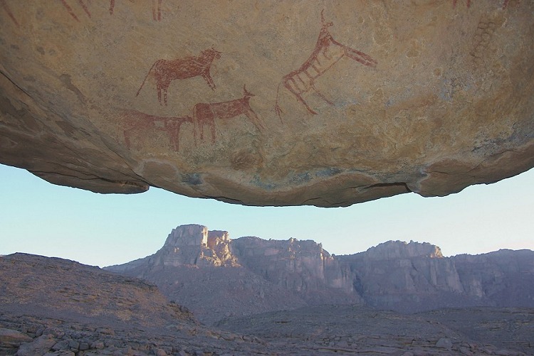
We allocated a few hours to search for the Winkler's lost site 75. We already spent two half days searching for the site in vain, so we did not have high hopes. We split to survey a larger area, and within 15 minutes we heared the whistle of Liz, they have found it ! The site proved to be much larger than imagined, a large double shelter with paintings in excellent condition, including several unique scenes and human figures among the more usual dozens of cattle. (An article in the forthcoming issue of Sahara will describe the site in detail.)
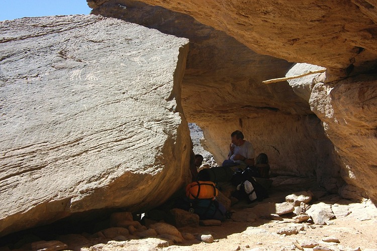
The unexpected find threw our schedule off course somewhat, as we spent the time up to mid-afternoon photographing the site in detail. However we had to move on, to reach the area we wished to explore the next day. We trekked a further two hours to a small wadi at the foot of the Hassanein plateau, which looked like a good base to camp and explore the unknown country beyond. We walked a little upstream in the wadi, and just next to our bivouac spot we found a little shelter with some painted goats.
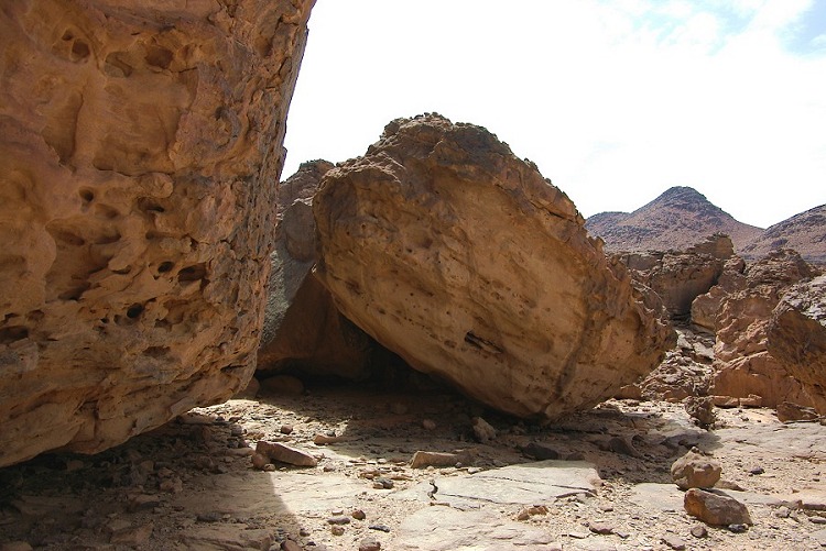
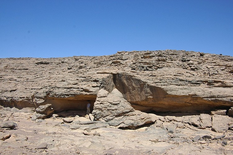
Leaving our gear at camp, we set out in the morning on the to survey the upper reaches of the main (unnamed) wadi draining the plateau. From afar we saw a conspicious boulder with a shelter underneath, and our expectations proved correct this time. While most of the large visible shelters around the boulder were empty, we found several remarkable human figures in a very low shelter under one half of the large split rock.


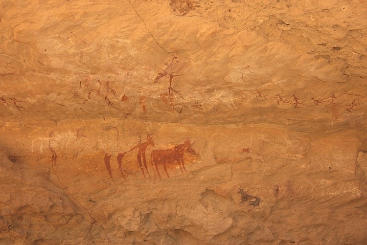
We followed the wadi downstream, and after about one kilometre we came upon a dry waterfall, with a horseshoe shaped cliff underneath, with a large shelter on one side. The shelter contained a well preserved panel of paintings depicting cattle and a few human figures.
We spent the rest of the morning surveying the side wadis without any further finds, but the area certainly warrants a closer look some other time. On our return trek, we stopped by the spring of Ain Murr, indulging in the luxury of a bath with the help of a few discarded pots from tibou times.
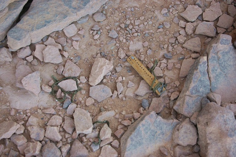
On our way back, we made a search and rescue mission to recover the lost thermometer of Gábor Merkl, left at a rest stop on the watershed between Karkur Murr and Karkur Talh. the thermometer was there, though rescue came too late to save it's life, but the remains were carried home to it's owner. Apparently some animal (probably a gerbil) chewed up the string, and cracked the glass as it dragged it.
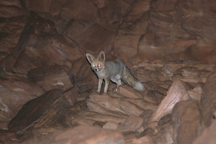
When we returned to camp, Khaled and Zayed excitedly told us about some unexpected visitors to the camp, a large family of monkeys ! We listened incredulously as we were told the story of a loud noisy group of animals approaching the camp after the lights were switched off in the evening. They shone torches, and there were many pairs of eyes gleaming back from the rocky slope above the camp. When they lit up the headlights of one of the cars, they saw many dozen monkeys on the rock face, all scrambling up the slope. As incredulous as the story sounded, Liz did find an animal footprint that resembled a very small hand, and soon we were making up the wildest theories on how a family of monkeys could have gotten to Uweinat in the first place (as none were reported before), and how they could possibly survive without open water. I stayed out with flash and camera after everyone went off to sleep, and sure enough, after ten minutes or so one could hear faint then louder squeaks, some animals were clearly approaching on the rock ledge above camp. Shining my torch up, I did catch several pairs of eyes, but they were too far to photograph, only the gleaming pair of eyes were visible in the darkness on the photos. The mystery remained...
Day 10. - Karkur Talh
After five days of continous walking, we unanimously voted for a lazy rest day. The morning was spent in or about camp in the south branch of Karkur Talh. I took a walk to re-visit some engravings found in October 2002, and have found several previously unseen ones in a little gully no more than 500 metres from camp.
On the same walk I've made another interesting find. Close to the engravings there is a dyke of about one metres in width, filled with a white material (appeared to be limestone, but an exact analysis of the sample is yet to be made). The white material was bordered by a thin layer of red ochre where it met the sandstone. Here was the readily available source for both the white and red colours used for the nearby paintings.


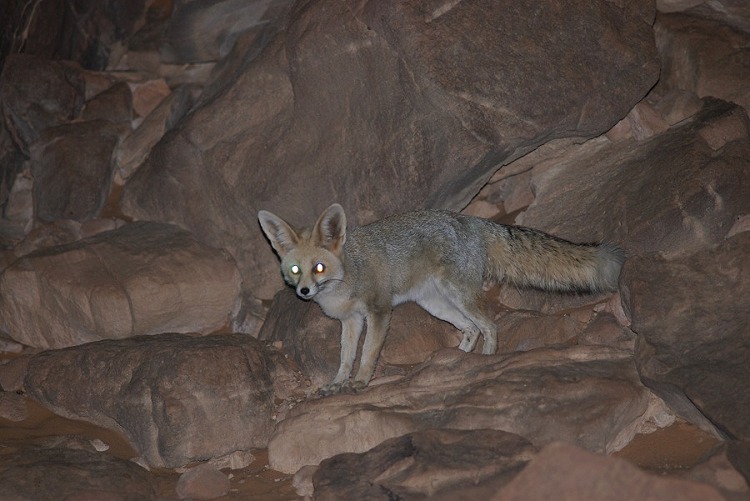
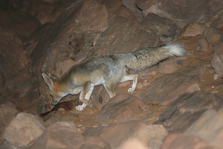
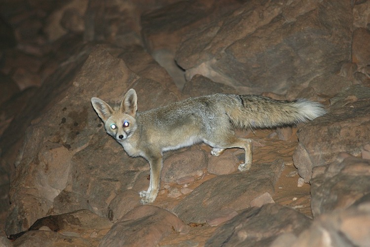
We spent a leisurely afternoon revisiting some sites in the northern area of Karkur Talh, but the discussion returned several times to the monkeys. We were very much hoping the mystery will solve itself in the evening. This time we did not have to wait until dark and quiet, the approaching chatter started during our evening meal. Five minutes later, we could clearly see in the torchlight not a dozen, but at least two gleaming pair of eyes. One kept coming closer, and when we re-directed the light after keeping the hillside in darkness for a few minutes, we could clearly see a long bushy tail disappearing among the rocks - the mystery monkeys turned out to be a family of desert foxes. One became quite bold, and after awhile came all the way up to a pile of put out food no more than five metres from where we sat, not seeming to mind the steady flashing of the cameras.
Day 11. - Karkur Talh
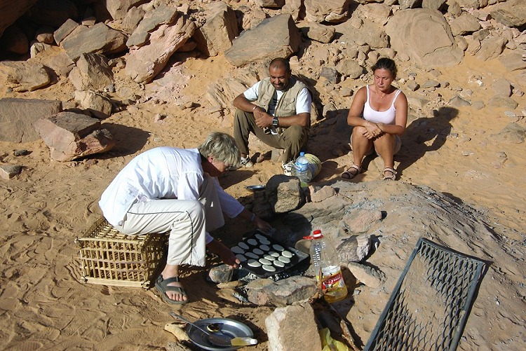
In the morning Liz made some wonderful scottish pancakes, after which we set out with Jon to explore a little side wadi to the south of the main branch of Karkur Talh. This is the wadi from which the footpath to Karkur Murr starts from, and we already found some rock art in it in November 2004. This time we went beyond the known sites, and found a new shelter far up in the otherwise barren wadi, with paintings depicting cattle and some humans.
After some housekeeping and photography in the main valley, we set out in the middle of the afternoon for our longest trek. The plan was to go together to the same base as we slept on day 5/6, then myself and Magdi would scale the Hassanein plateau in the early morning, and spend a day and a half on the plateau exploring. In the mean time, Liz and Jon would cross accross the low plateau at the foot of the Hassanein plateau, exploring the numerous side wadis in their path, and spend the night at Winkler's site 75, doing some more photography the next day. We would meet up at the waiting car in the evening two days later.

Day 12-13. - Hassanein Plateau
We started our climb at first light, and made very good progress. By 10 am we were up in the main valley, climbing almost all the way in the shade.
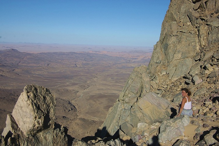
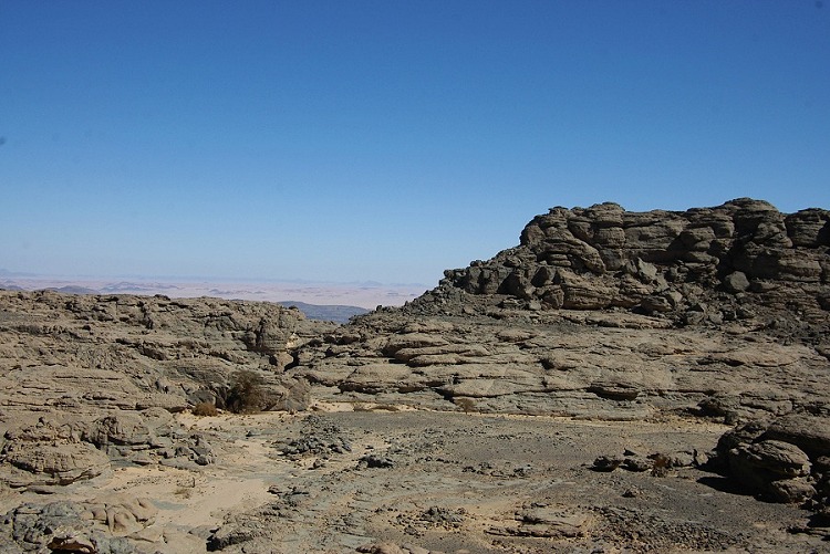
In the afternoon we made a big loop on the western side of the plateau, visiting the large shelter with paintings discovered in March 2004, the lesser sites, the "white spot", and returning along the southern edge, with a fantastic view over the plains to the south and Jebel Kissu.

We've spent the next morning exploring the eastern part of the plateau, where we found some new rock art sites in March 2005. There were two large valley systems, we explored to the end of both of them, but despite some promising shelters we found no new sites, just a beautiful landscape that reminded us very much of the Tassili N'Ajjer that we first visited 15 years ago.

It took a good three hours to descend the plateau, then another two hours to the car, where we met Liz and Jon who also had a very pleasant two days, not finding anything new, but thoroughly enjoying the landscape and the solitude.
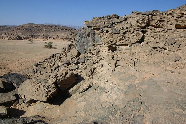
Day 14. - "Unnamed Plateau" - Eastern Gilf Kebir
Our ten days at Uweinat was over, reluctantly we had to start our way back north towards Cairo and civilisation. We did have a half day to spare, and we decided to explore unvisited parts of the unnamed granite plateau lying between Uweinat and the Gilf. We explored a couple of valleys along the plateau's eastern edge, and found nothing of interest aside the dramatic granite landscape. We re-visited the main valley with the single site with engravings, before starting on our return journey.


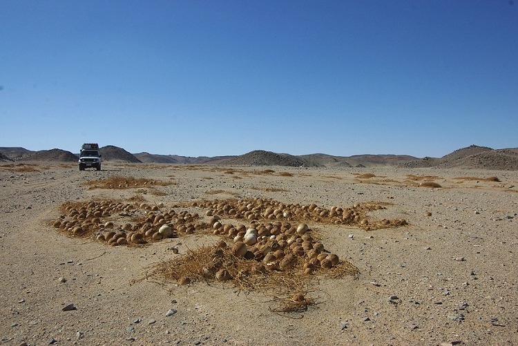
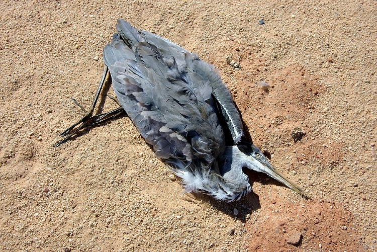
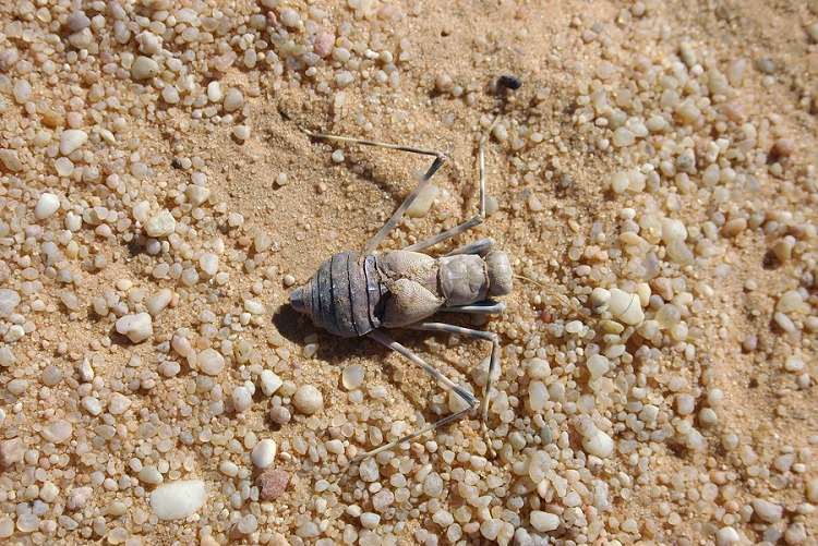
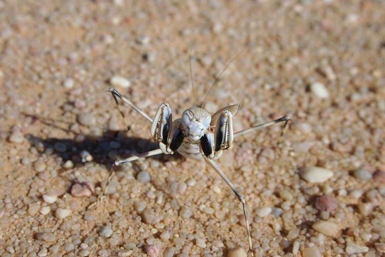
Driving accross the sand sheet before the southern tip of the Gilf, Zayed spotted a dead grey heron (Ardea cinerea). We stopped to take photos, and around the bird we found several enormous desert mantids (Eremiaphila species). The mystery of their survival was solved - they are not hunters, but scavengers feeding on dead carcasses.


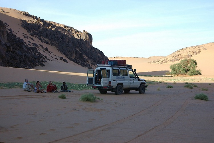
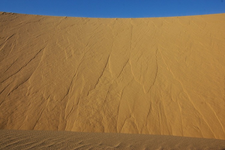
In the evening we camped at our usual spot beside the golden dunes at the eastern side of the Gilf Kebir.

Day 15. - Selima Sand sheet - Bir Sahara - Dakhla
We cut accross the Selima Sand sheet to the east along the fastest route back to Dakhla, and stopped for our lunch stop at the small oasis depression of Bir Sahara, once filled with a paleolake, before hitting the road and driving north to Dakhla.

Day 16. Dakhla - Cairo
The last day was the usual uneventful long drive back to Cairo.