
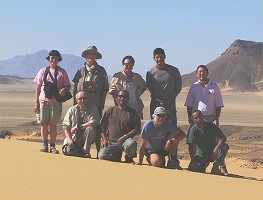
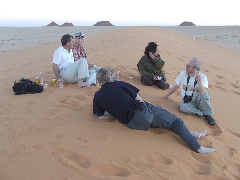
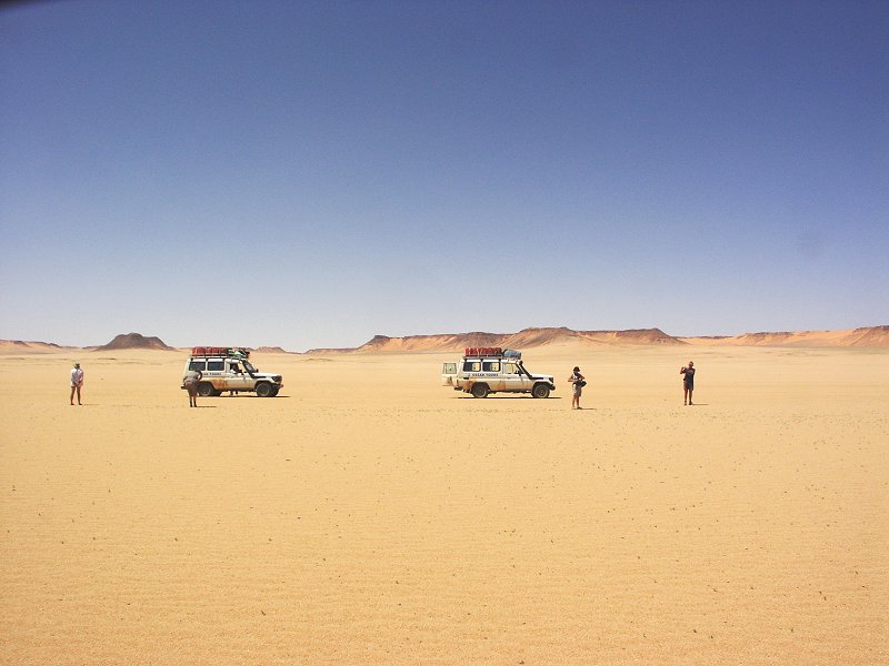
 Click on image for list of participants |
Jebel Uweinat - Gilf Kebir Expedition, Egypt 15th - 30th March, 2008 |
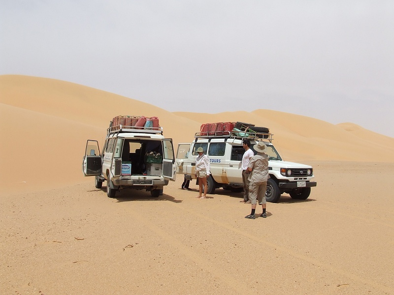
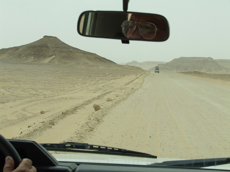
Day 1. - Cairo - Dakhla
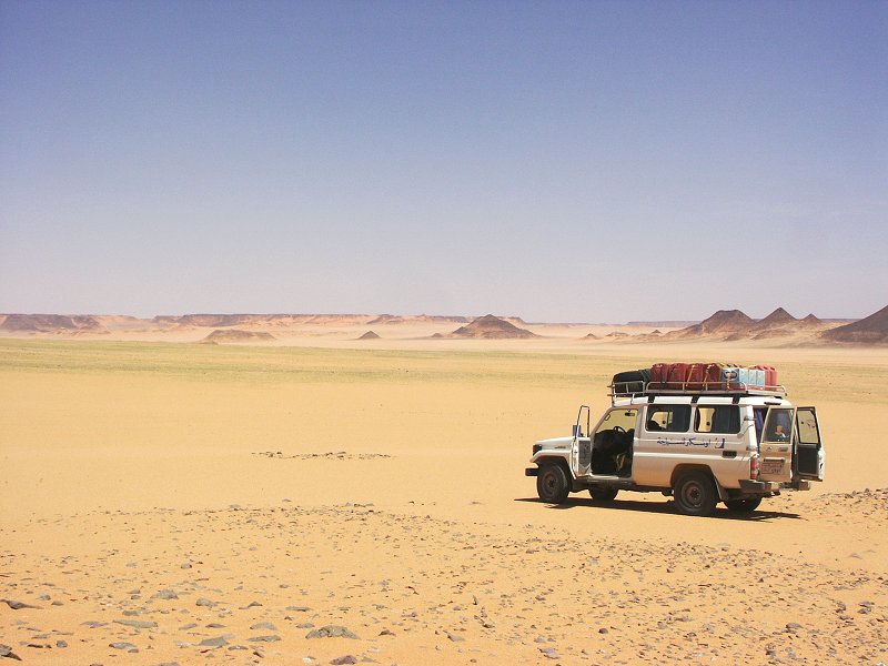
The first day was the standard unexciting full day drive on the road to Dakhla Oasis, with stops at Baharya (to collect Captain Ahmed, our officer) and the cafeteria at Abu Mungar. We made good progress, by 5pm we were at the fine Mebarez Hotel, with the two cars fuelled and ready to go by the evening.
Day 2. - Dakhla - eastern Gilf Kebir
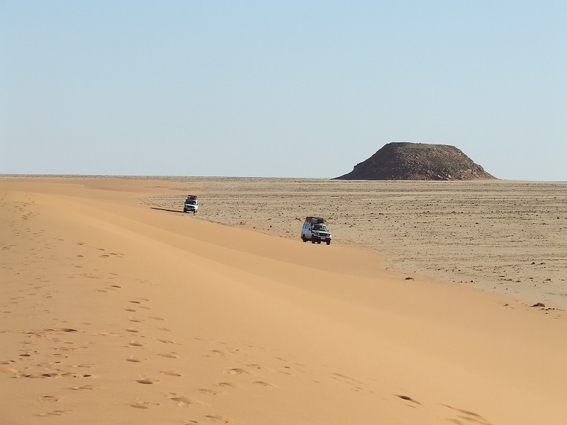
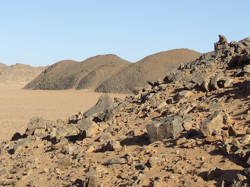
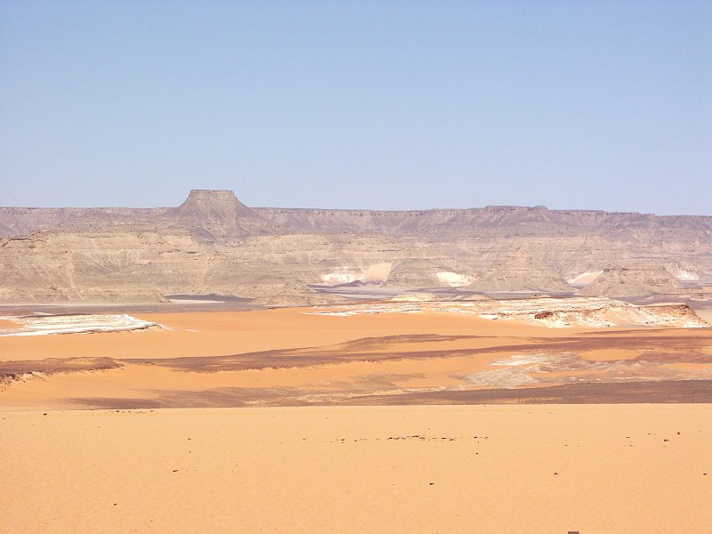
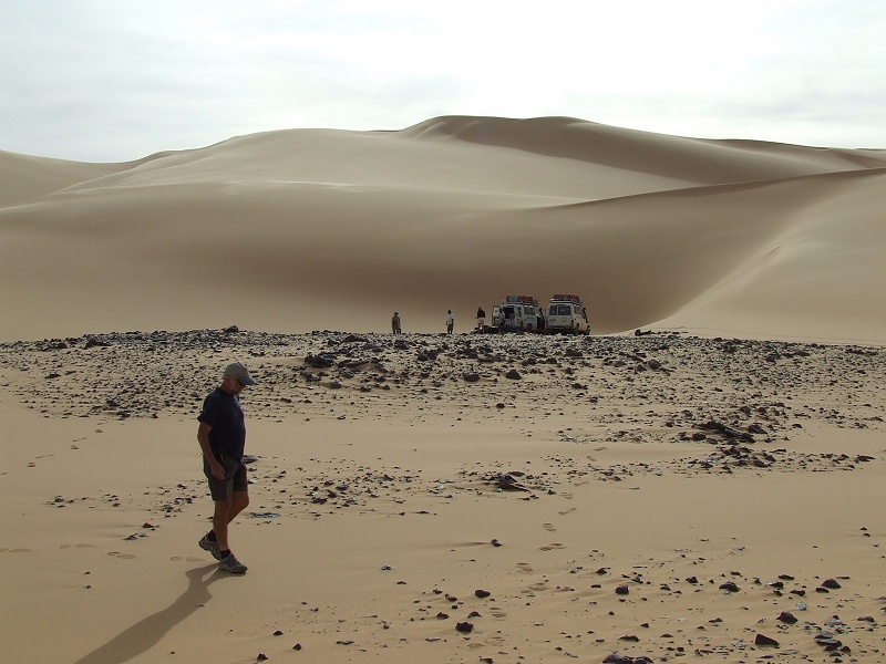
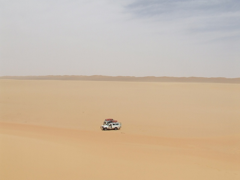
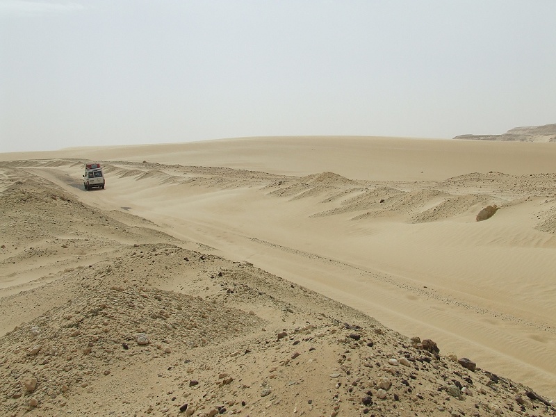
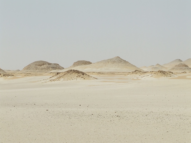
In the morning we drove down the Darb el Terfawi till our turn-off point before the second checkpoint, then crossed the Selima Sand Sheet via the Abu Hussein Dunes towardse the eastern foothills of the southern Gilf Kebir.


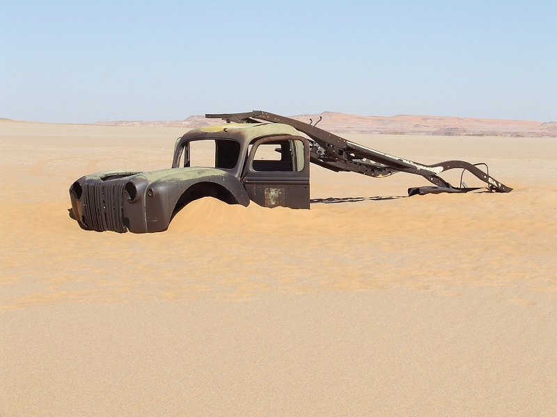
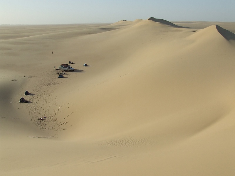
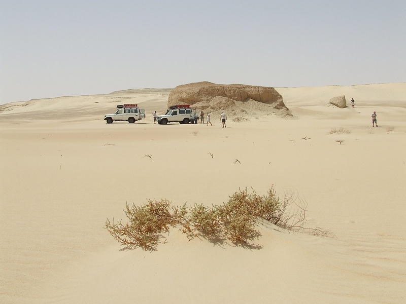
We passed by the abandoned 1942 Ford truck of the SDF Kufra Convoys, then continued accross the dunes flanking the gilf to the east towards Bagnold's 1938 camping site.
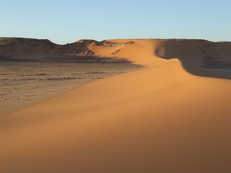
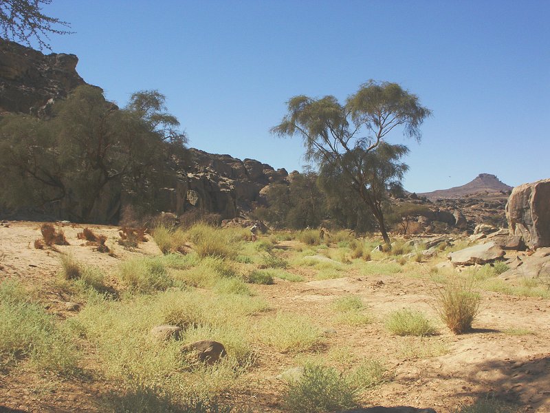
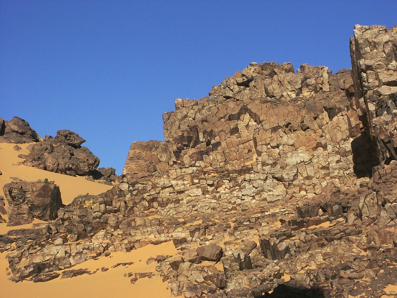
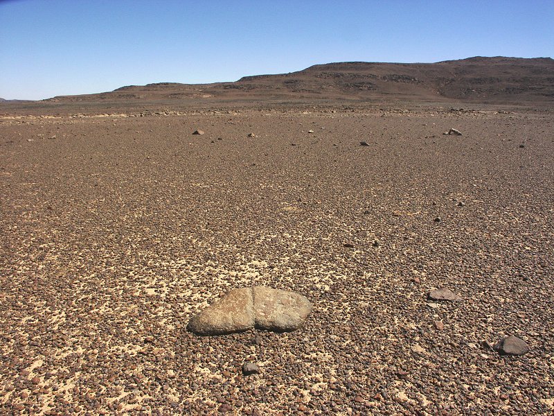
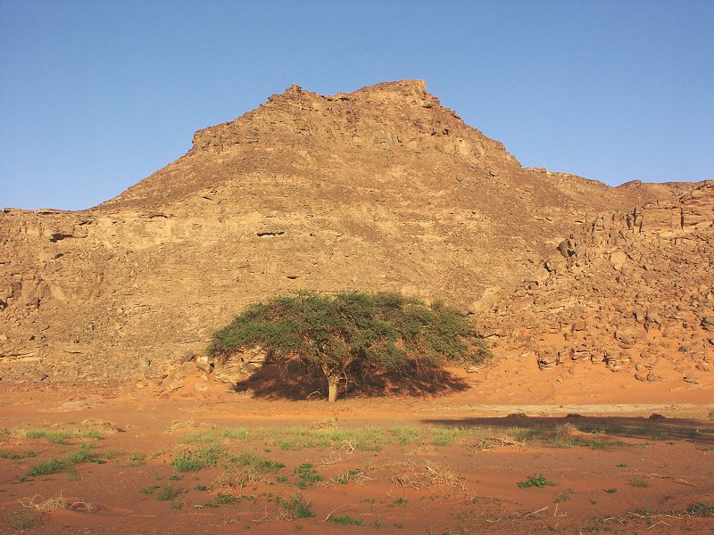
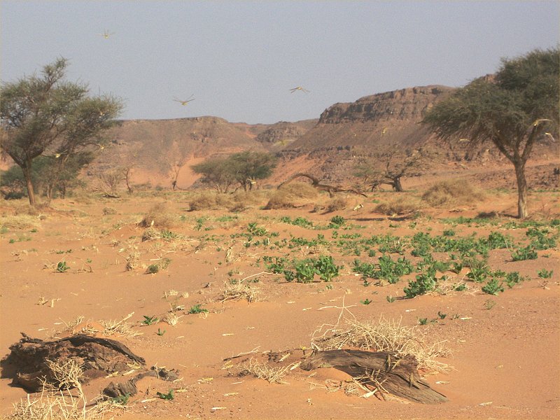
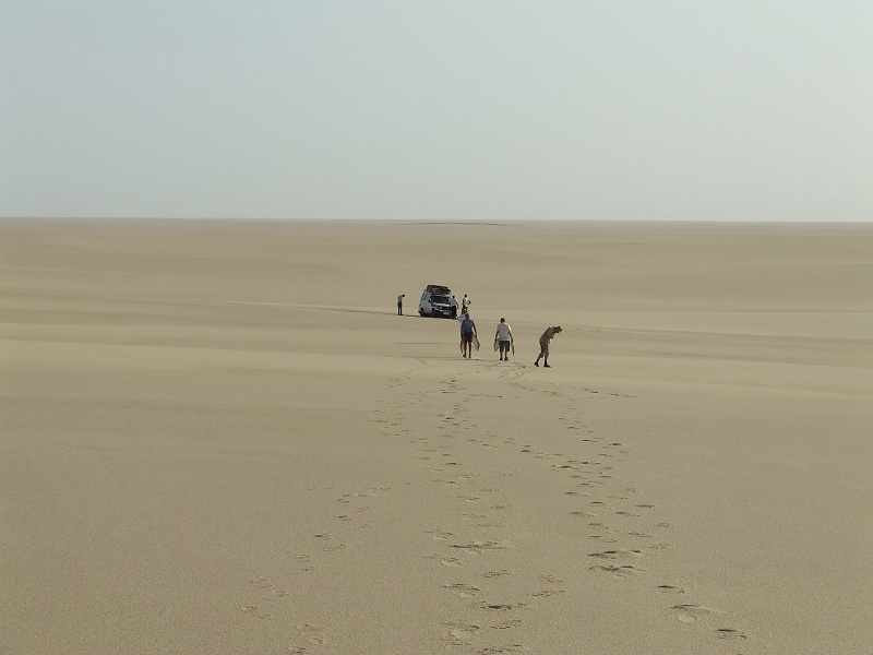
This campsite, at the foot of a long dune, was the site where Bagnold made many of his experiments to verify his theories ultimately written up in The Physics of Blown Sand and Desert Dunes. The remains of the campsite were noted by el Baz in 1978 (Geographical Journal, Vol. 146/1, March 1980), observing "40 m-elongation of seif dunes and westward shift of about 8 m". In the thirthy years that have since passed, the further westward shift covered up all traces of the original 1938 campsite, we will probably have to wait another 100-150 years until the remains will re-emerge along the eastern side of the dune. However we must admit the Bagnold certainly had an eye for chosing a lovely campsite...
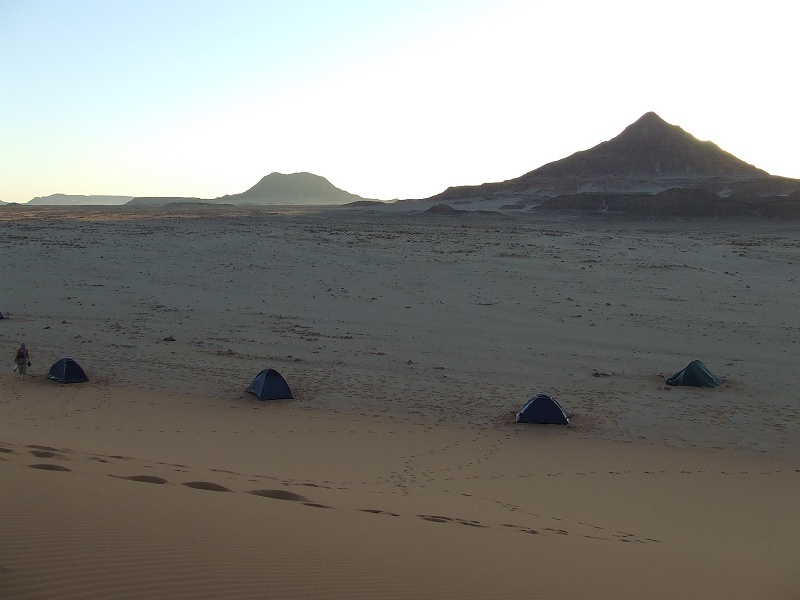
Day 3. - Wadi Bakht - Ard al Akhdar
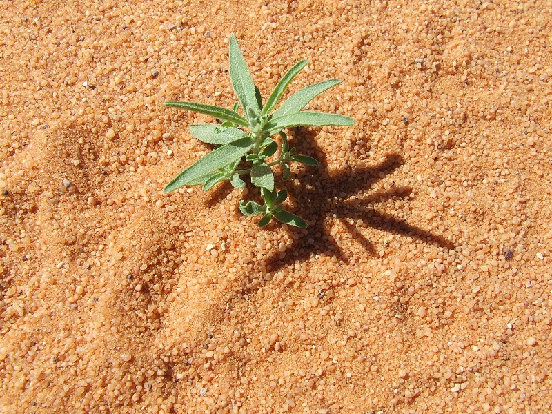
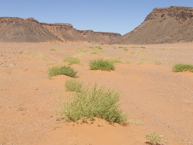
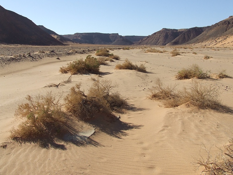
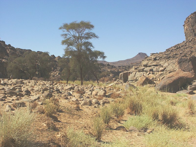
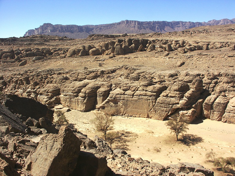
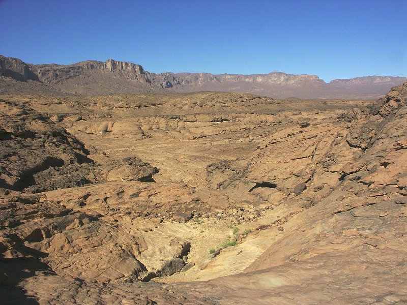
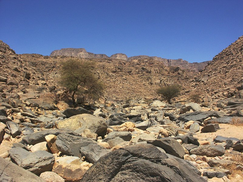
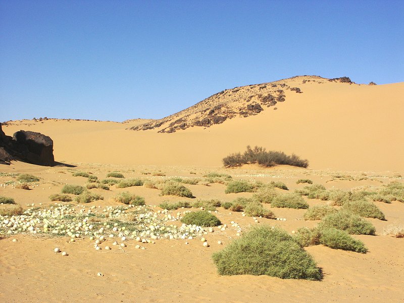
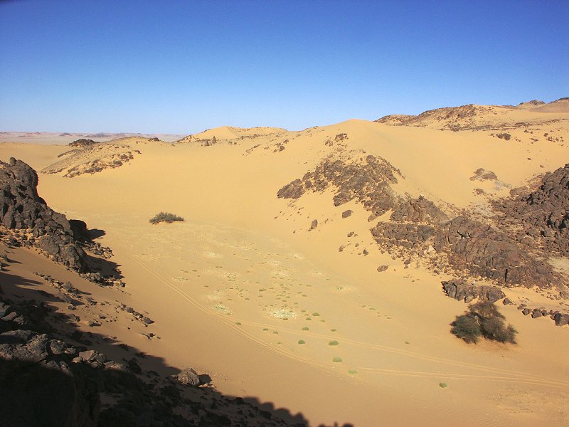
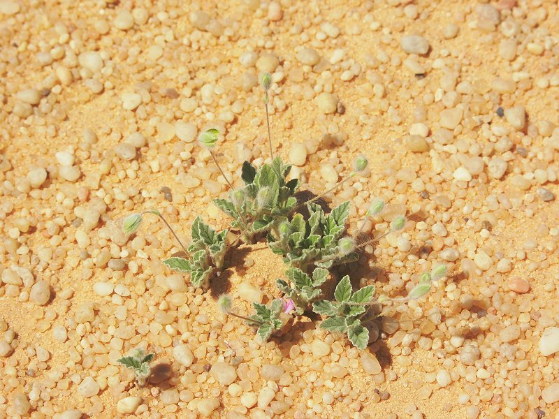
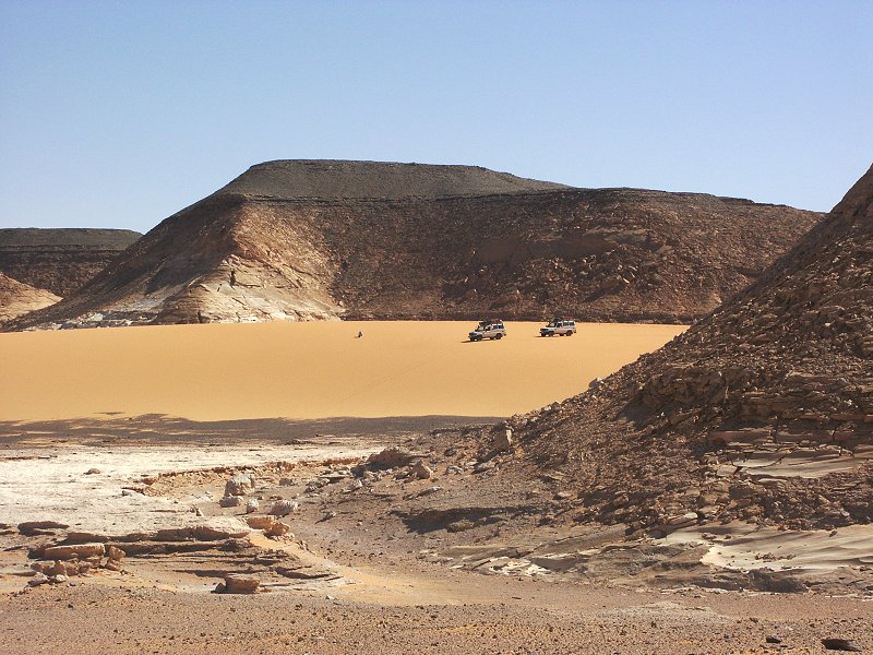
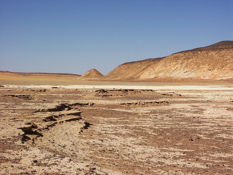
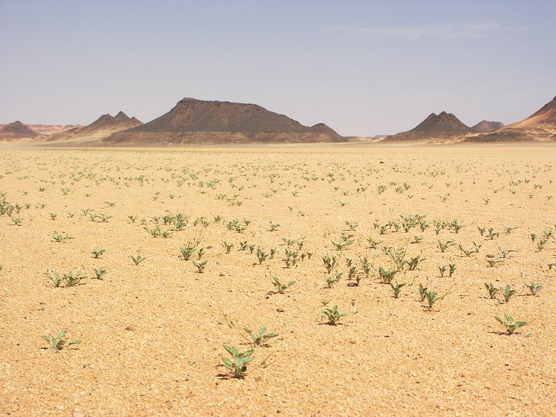
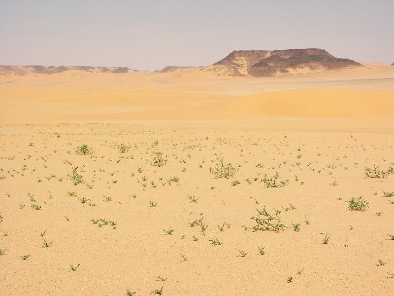
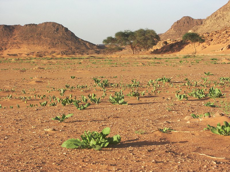
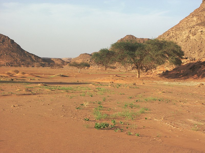
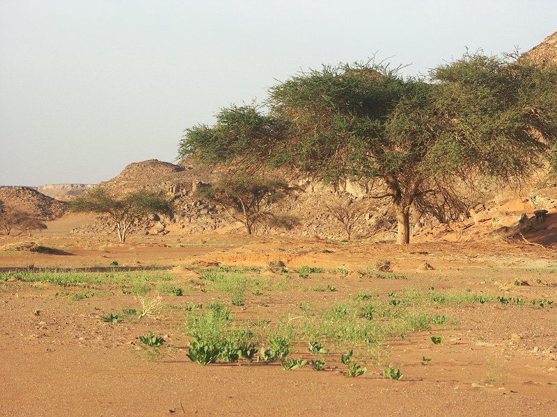
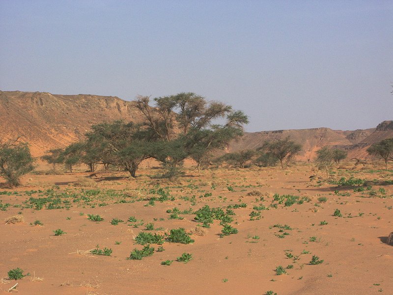
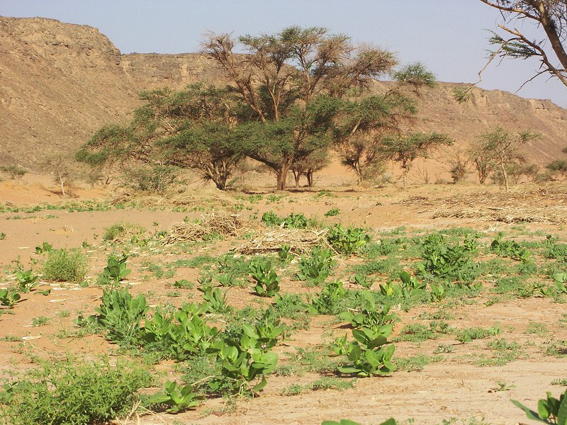
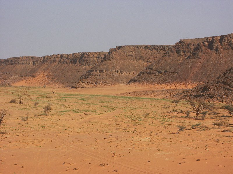
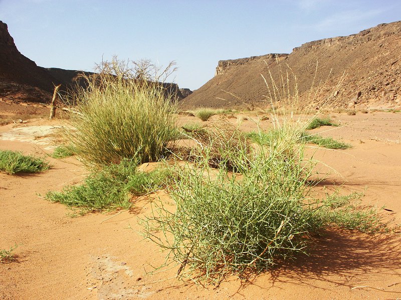
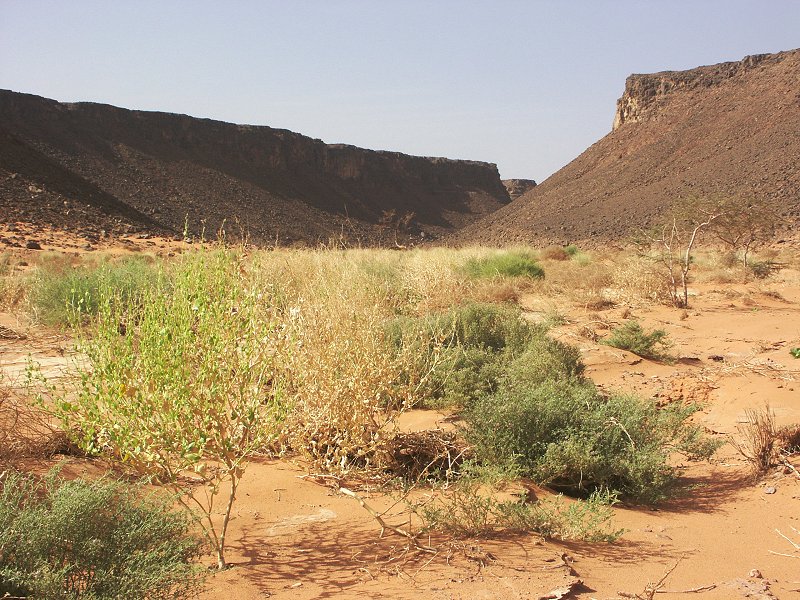
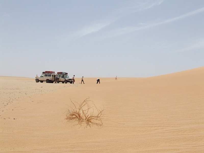
After breaking camp, we entered Wadi Bakht and spent a leisurely morning wondering about the playa beyond the blocking dune, and exploring the valley further upstream. Already on entering we noted, that the main watercourse was full of green vegetation. By the size of the plants, it appeared that the rain fell four-five months earlier. However it turned out, that the water came not from the main valley, but from a northern tributary, the main valley appeared completely dry. However on close look it emerged, that small shoots were just emerging from the sand even on the blocking dune, implying another rainfall just a few weeks earlier.
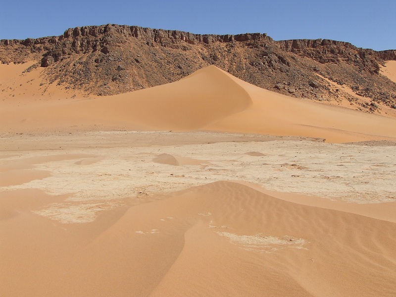

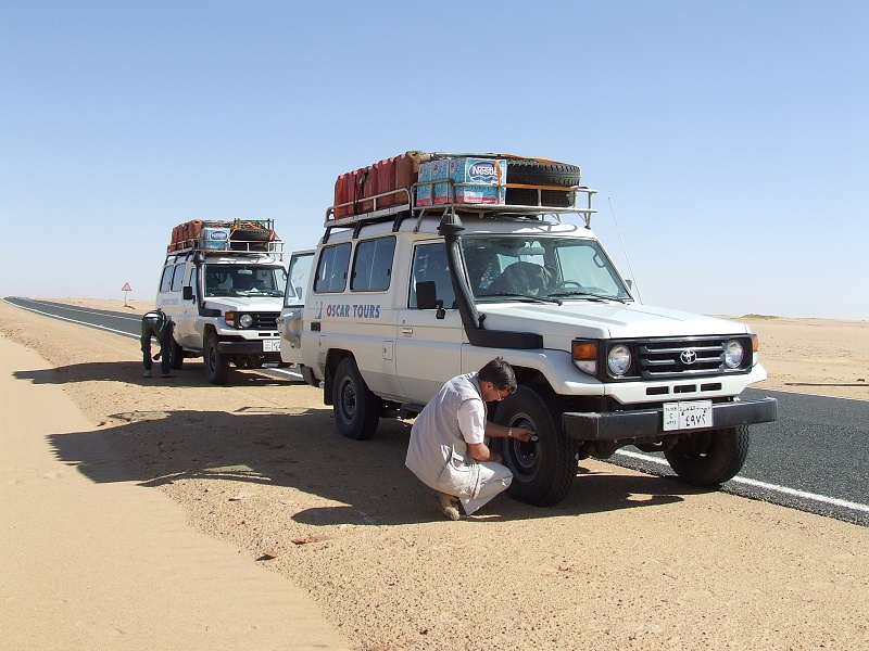
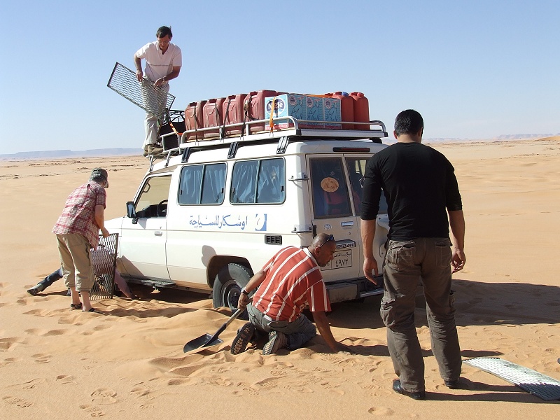
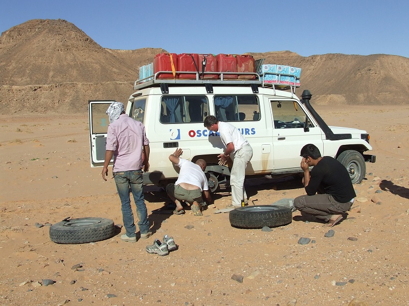
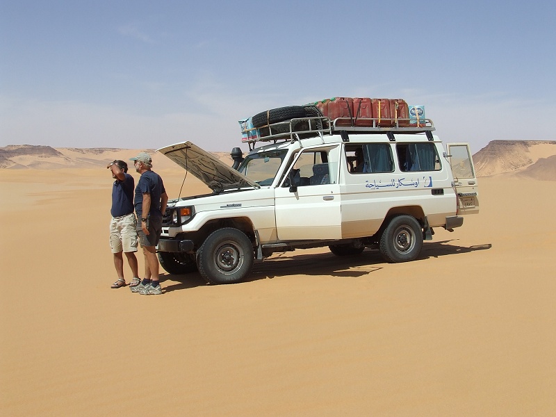
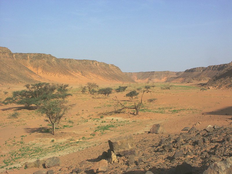
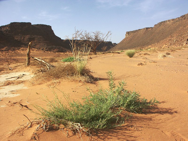
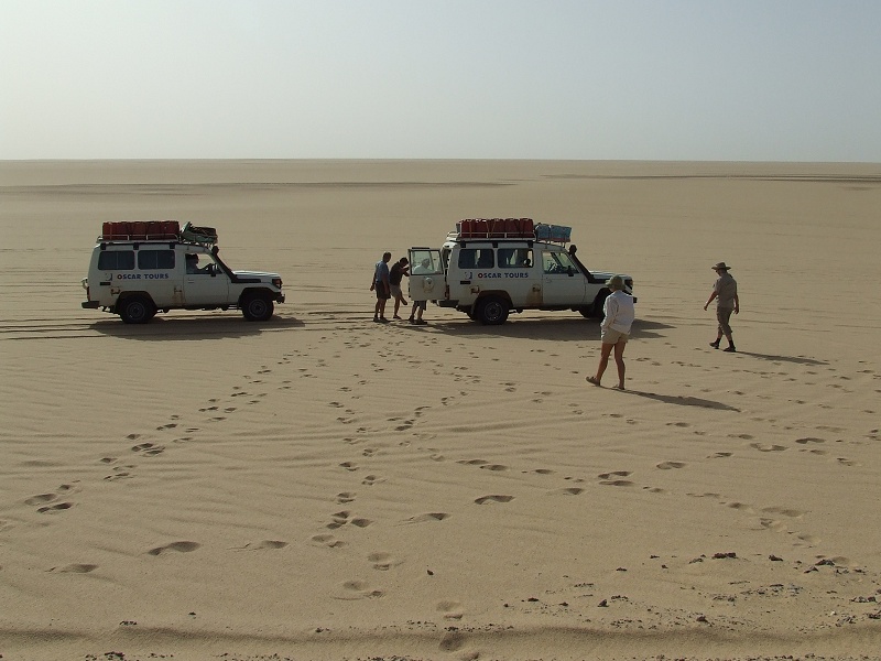
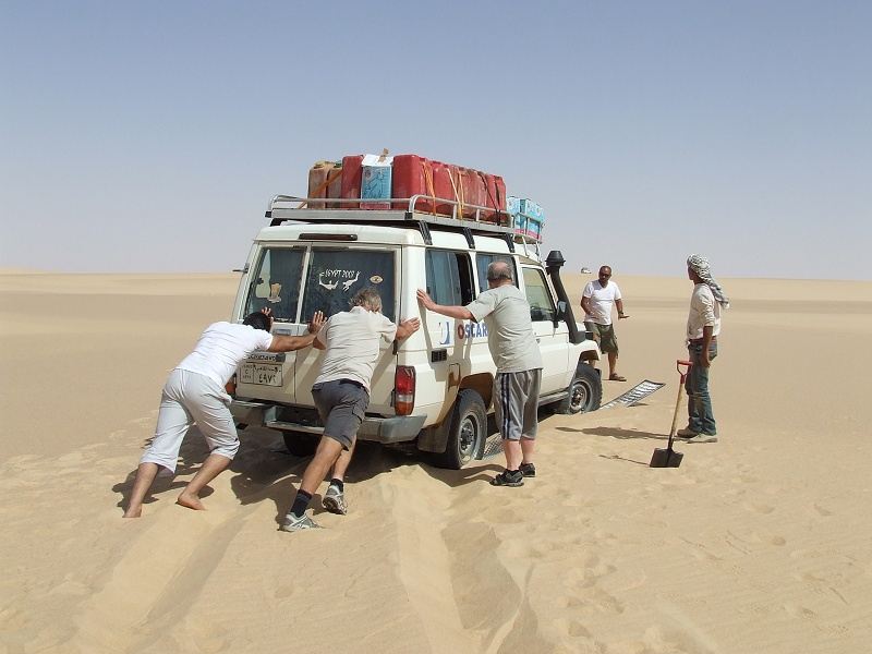
In the afternoon, we drove south along the Gilf edge to the mouth of Wadi Wassa, and progressed to the mouth of Ard al Akhdar, where we soon found fresh vegetation and traces of recent flowing water in the main watercourse. It turned out, that the water came not from the main valley, but from a western tributary close to the mouth where the wadi joins the broad transverse Wadi Wassa. We followed the trail of the fresh water till a point near a low basalt hill, where an embarassing encounter with a sharp rock hidden behind a low scrub managed to blow both right tyres of the lead car, defining our campsite and tire repar station for the evening, close to a prominent basalt hill arising from the middle of the valley.
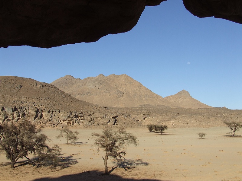
Day 4. - Ard al Akhdar - Jebel Uweinat
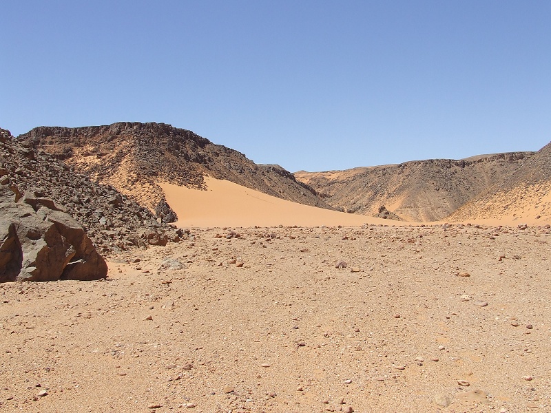
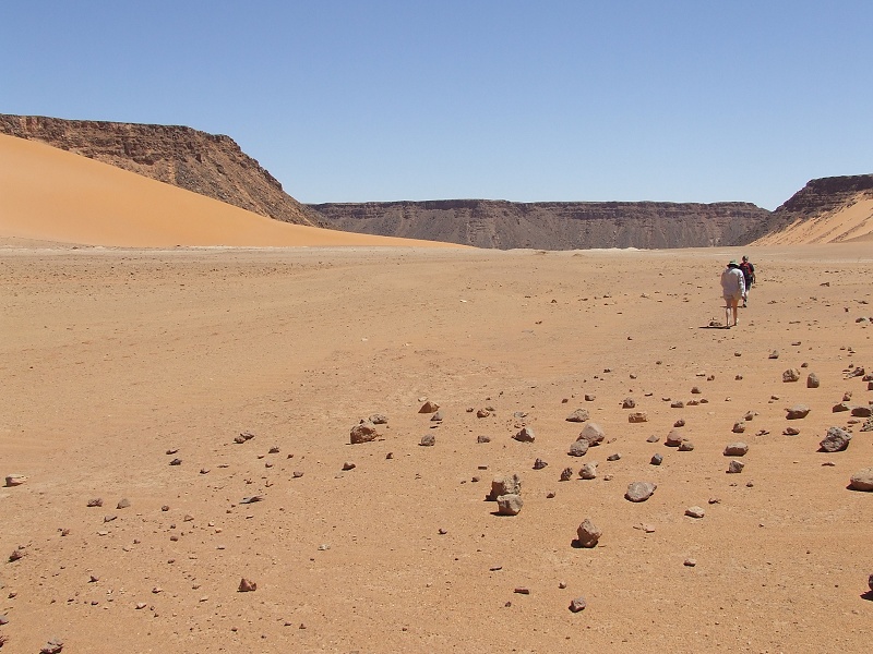
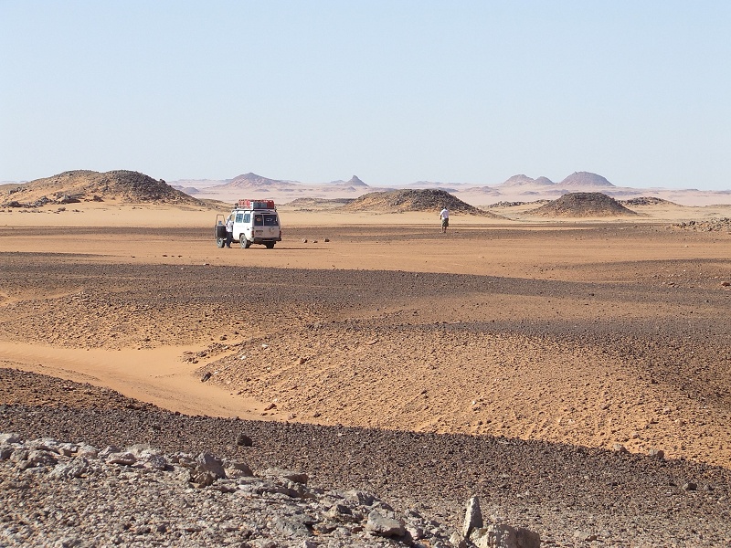
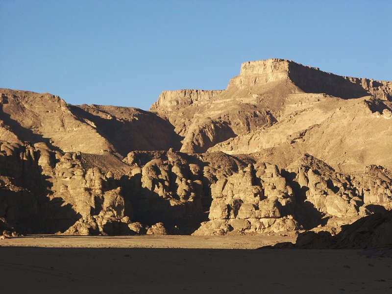
In the morning we left Ard al Akhdar, and passing "Eight Bells" to the west, we rounded the southern tip of the Gilf and made straight for Jebel Uweinat.
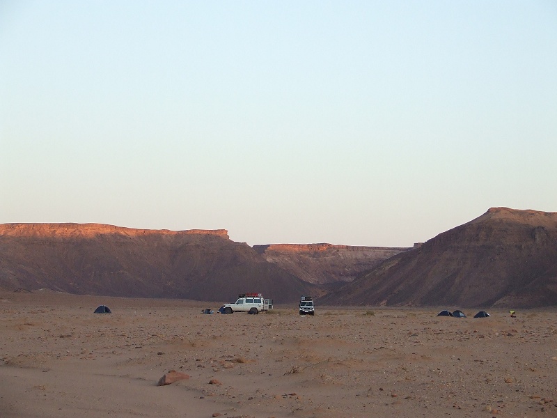
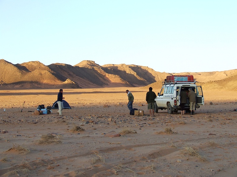


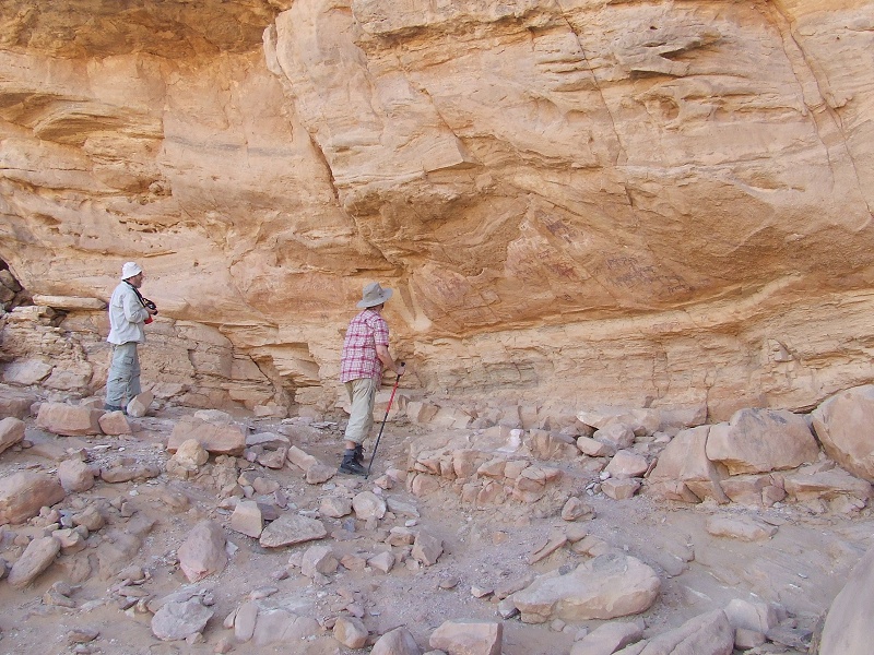
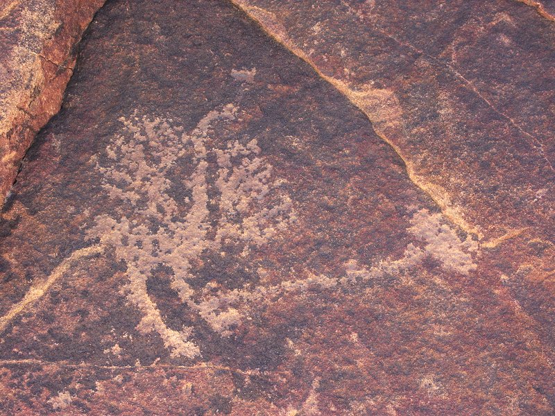
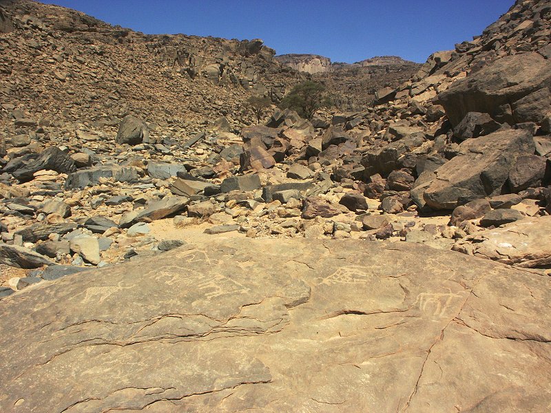
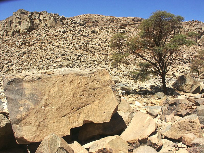
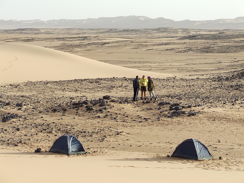
We reached our campsite in Karkur Talh by mid-afternoon, and spent a leisurely afternoon visiting the rock art sites in the southern branch near camp.

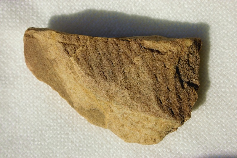
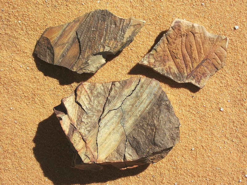
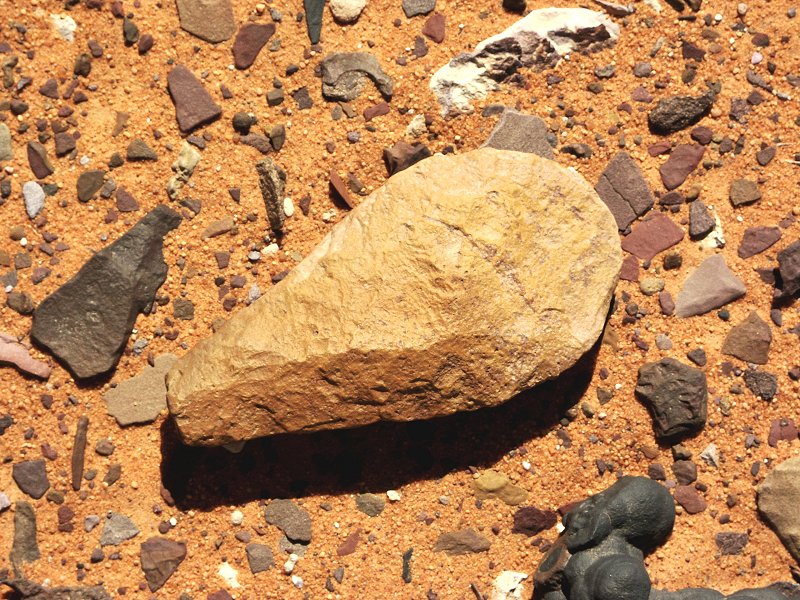
On the gravel terrace to the east of the main watercourse, I found a rock fragment with a clearly recognisable pattern on one side. It turned out to be a fossilised Lepidodendron (or related species) echoing Norbert Brügge's similar find near the northern edge of the mountain. Earlier during the afternoon we have also identified the site with trace fossils (Cruziana) noted some years ago by Norbert Brügge
Day 5. - Karkur Talh
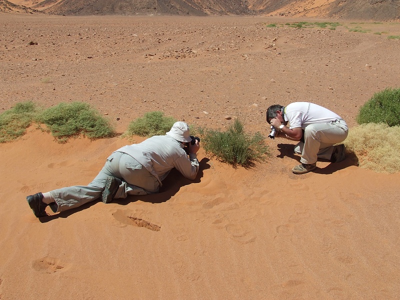
We spent the full day visiting the most important rock art sites in the lower sections of Karkur Talh. In the south western main branch we noted thick green vegetation, dominantly Morettia philaeana, the remnant vegetation of the rains of August 2007, first observed last October
Day 6. - Karkur Talh
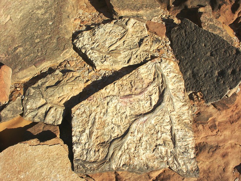
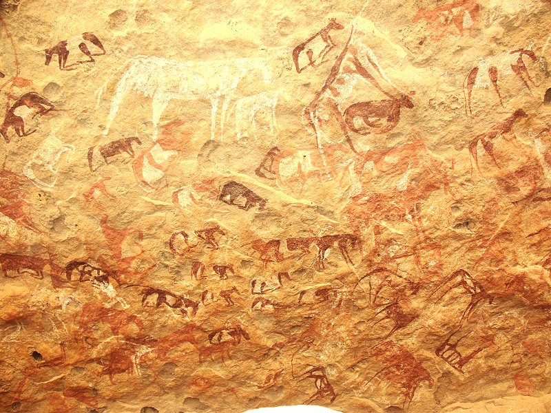
Most of the day was spent un upper Karkur Talh, visiting the spectacular paintings discovered by the 1969 Belgian expedition. This time I managed to survey the terraces flanking both sides of the valley about 20 metres above the valley floor for about two kilometres downstream from the rock art sites. Satellite imagery suggested an eroding layer bordering the terraces to the north and south, possibly with shelters suitable for paintings. While the geology did turn out to be what was expected from the satelite photos, the crudeness of the rock precluded any surviving rock art, despite several suitable sites. However an important fossil find was made on the southern terrace: a Lepidodendron root (also called Stigmaria, a common name for the undistinguishable roots of several Lepidodendron like species), in the devonian (?) red sandstone.

In the late afternoon we visited some unexplored areas of the southern branch north of camp. We did not find any new rock art, however observed several curious geological features.
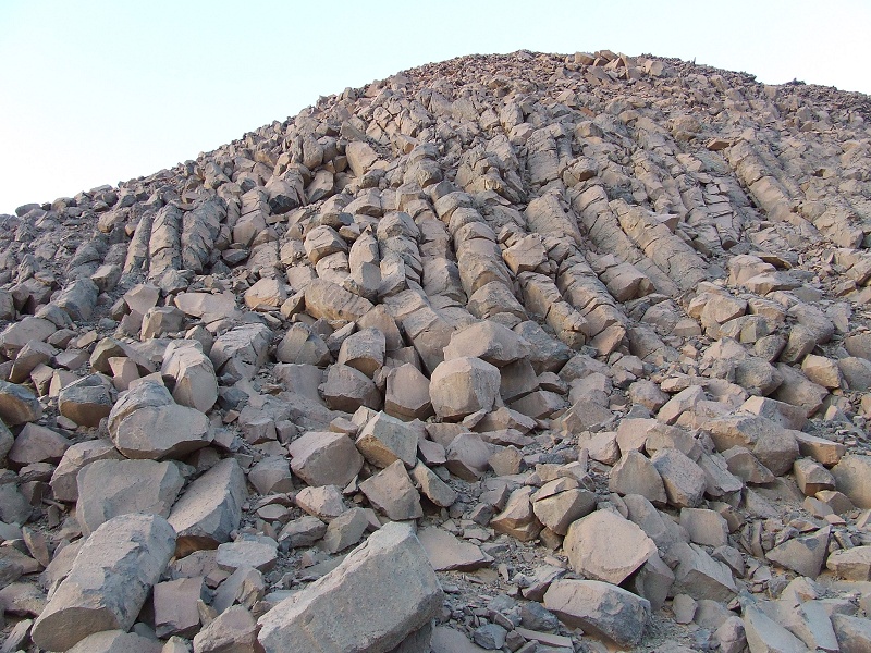
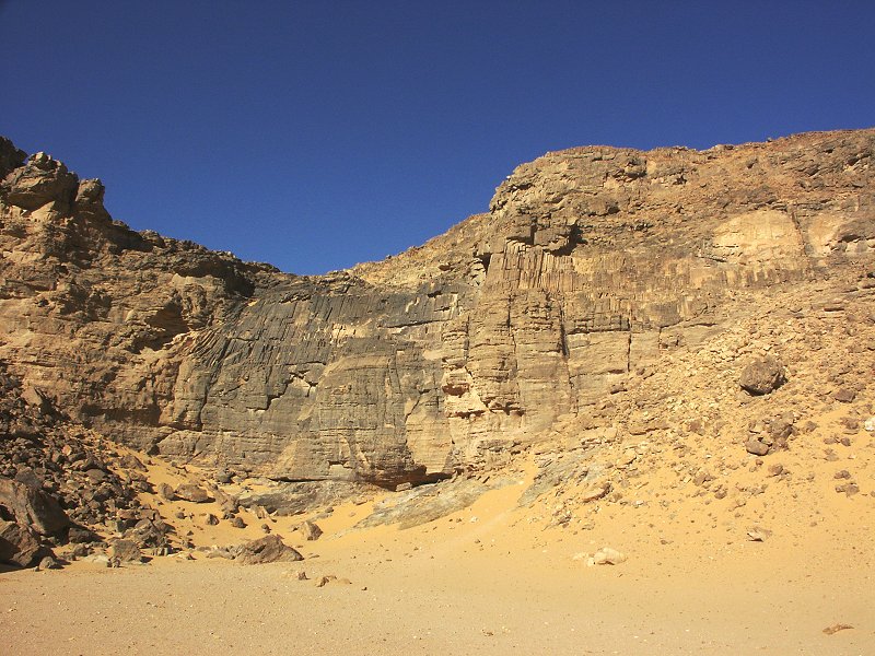
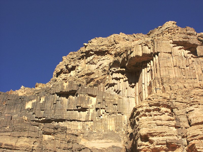
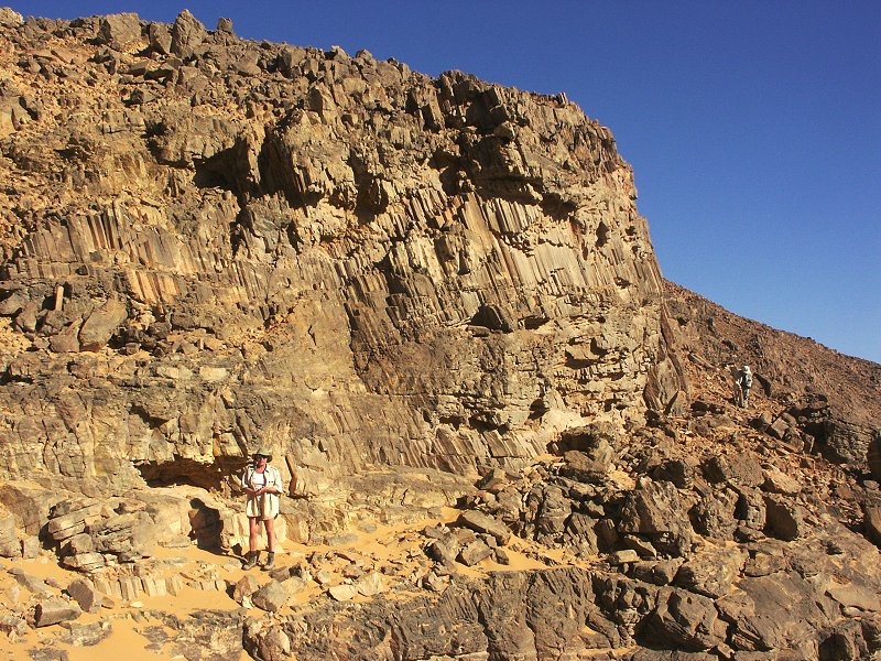
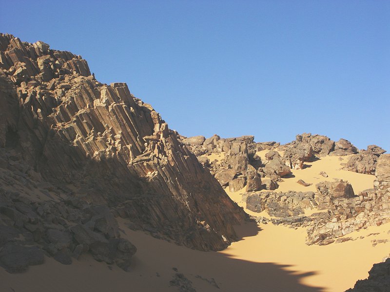
There is a dry waterfall along the western side of the southern branch. Along the level of the lip of the fall, there is a layer of columnar sandstone, neatly splitting into hexagonal columns like basalt or similar volcanic rocks. While there are several volcanic plugs in the area, there was no volcanic rock in direct contact with this layer, that would explain the obvious heat treatment this rock must have undergone. Normal bedded sandstones were observed both above and below this peculiar layer.

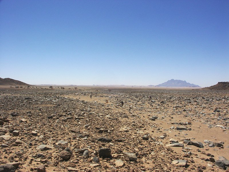
In another location, at the edge of a plateau above the wadi floor, we found a small area which was full of fragments of the ichnofossil (trace fossil) Arthrophycus, a species common in silurian and devonian rocks around the world. While this species was noted previously at Uweinat, these are much finer examples than noted anywhere else. There have been many theories on the makers of these ribbed burrows, ranging from trilobites to worm like creatures, however the actual animal has not yet been identified.

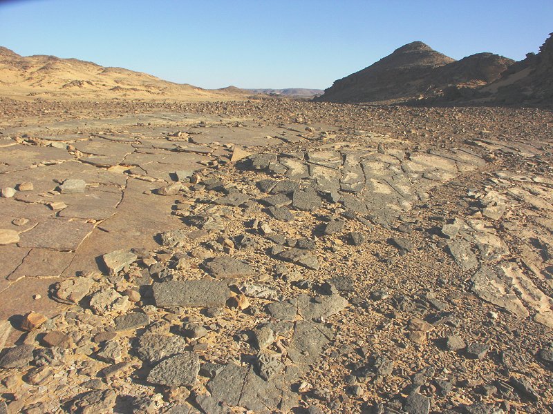
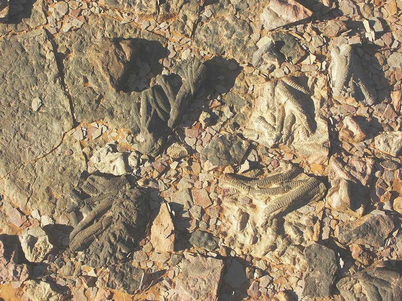
The source of the fossils was traced to a bed of hard sandstone overlying a soft, eroding layer of siltstones. The trace fossils were on the underside of the hard sandstone layer, extending into the siltstones, and eroding out along a low cliff face. The bed is about 20-25 metres above the precambrian basement, and is possibly of silurian date (?).


Day 7. - Karkur Talh
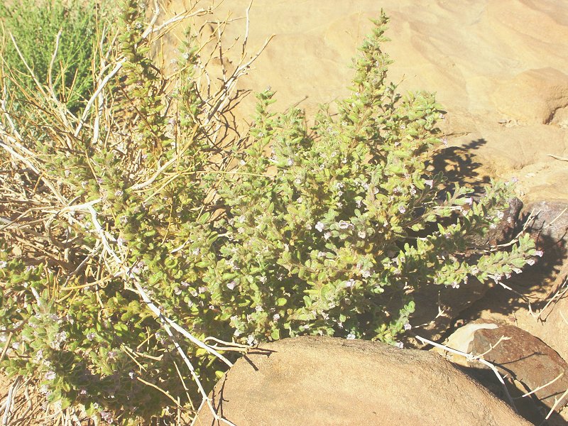
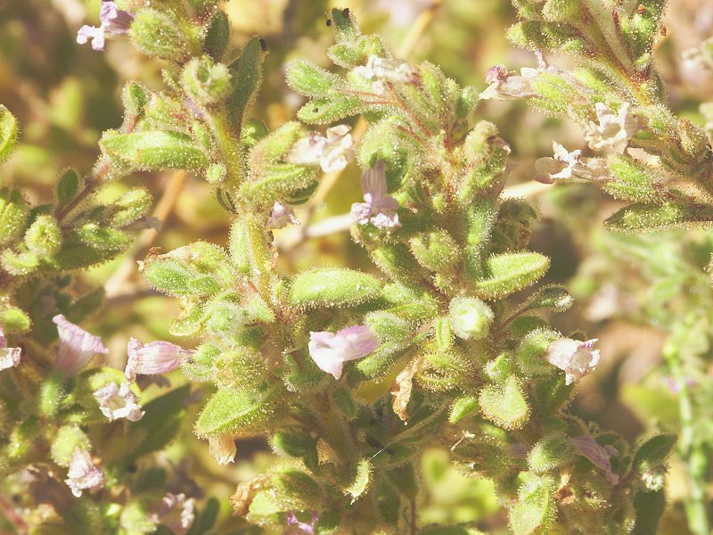
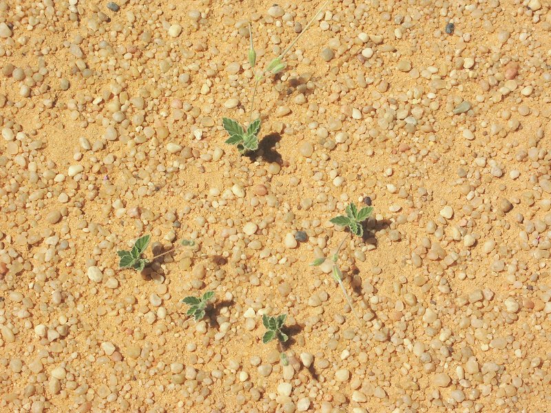
The plan for the day was to make a trek to the south, to Winkler's sites 81 and 75. As we descended into the wadi containing the first site, we noted a basin with ample fresh vegetation, no doubt from the rains of the past year. One plant was particularly interesting, it turned out to be Anticharis glandulosa, the first specimen we ever noted of this species at Uweinat.
There was plenty of evidence for the past rainfall in the wadi of site 81. As noted in the lower section of Karkur Talh, much of the new growth was Morettia philaeana. While we were visiting the site, we were continuously entertained by a black wheatear (Oenanthe leucura), which constantly hopped about us, singing in a high pitched chirp.


On the plateau on our way to site 75, we encountered yet the finest example of a prehistoric trapping or tethering stone (such stones are often showed trapping animals, like in the ostrich example from south Uweinat). The upper section of Karkur Murr was observed to be equally green.


On returning to the vehicles via the south western branch of Karkur Talh, Ildikó pointed out that the bedrock in the valley floor that was always taken to be sandstone showed the erosion characteristcs of granite. Sure enough, on taking a sample it was clear that the smooth valley floor was of a granitoid igneous rock, the only locality in the Karkur Talh basin with an igneous outcrop, lying unconformably under the paleozoic sandstones (something that is observable along the southern edge of the mountain, particularly in Wadi Wahesh).


Day 8. - South Uweinat - Wadi Handal
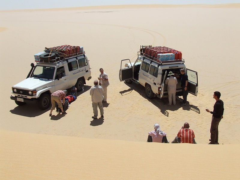
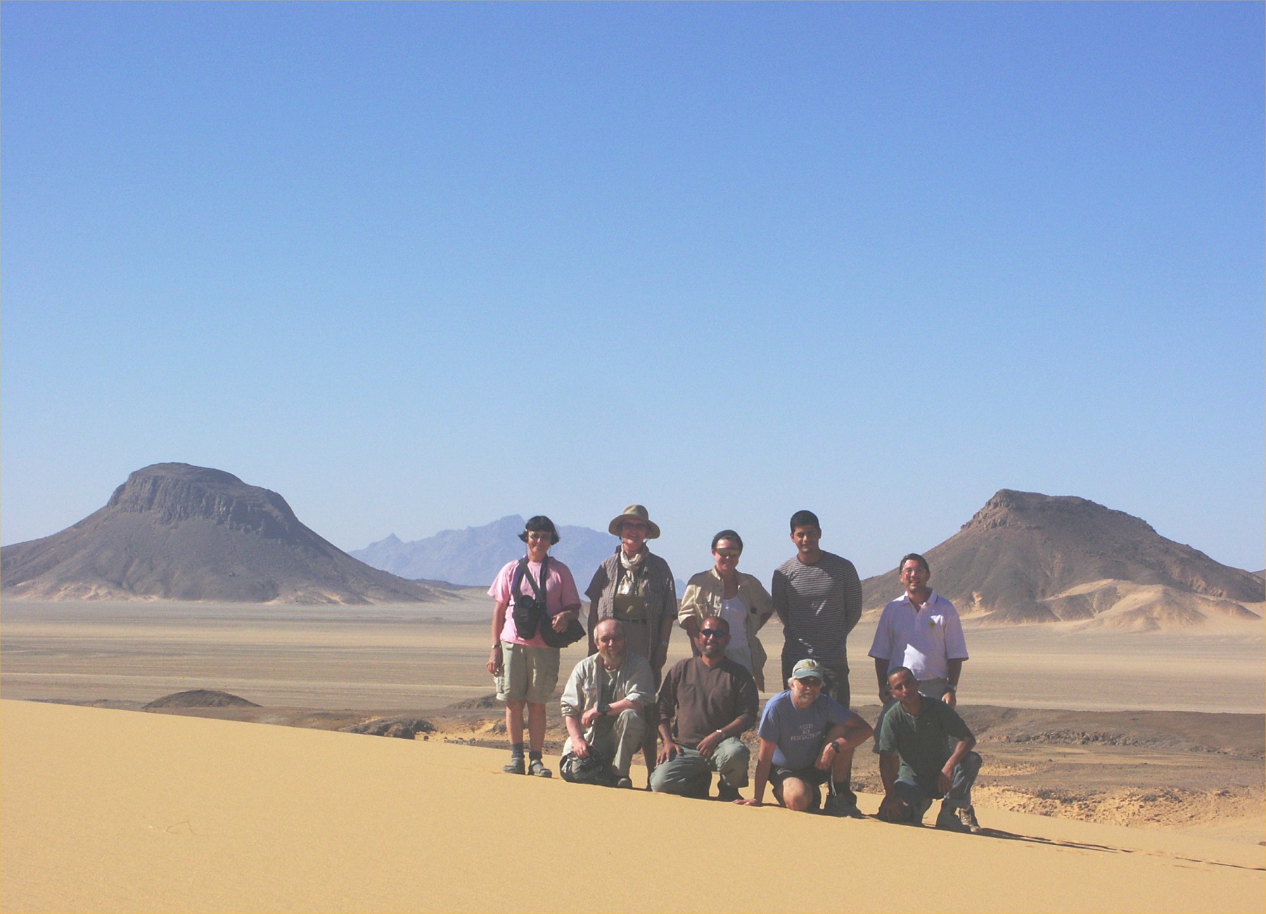
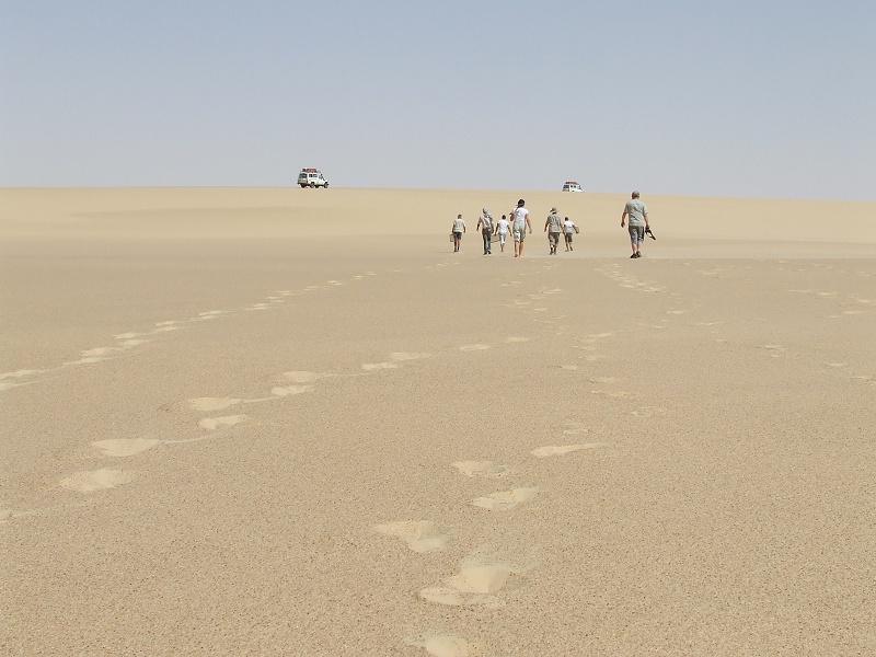
In the morning we drove to the south side of the mountain, taking our group photo on the dune at the pass leading to Ras el Abd. Out objective was the mouth of a wadi system between Karkur Murr and wadi wahesh, where Mark Borda (our companion on the October 2005 expedition) found several new rock art sites in late 2007.
Mark found numerous engravings around the mouth of the wadi and further upstream, plus a few paintings, of which we could only visit a handful near the mouth. The most important find was a large shelter with a multitude of painted cattle. It turned out to be one of the lost sites photographed by the Italian geologist, dr. Angelo Pesce in the late nineteen fifties, published by Graziosi in the 1962 book Rock Art in the Libyan Sahara, and mistakenly attributed to Karkur Idriss.
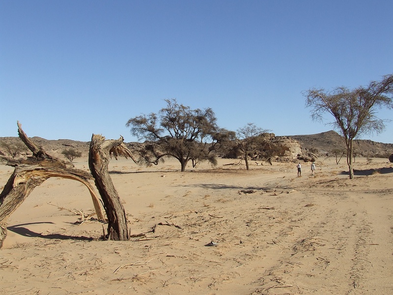
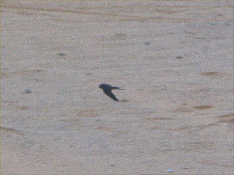
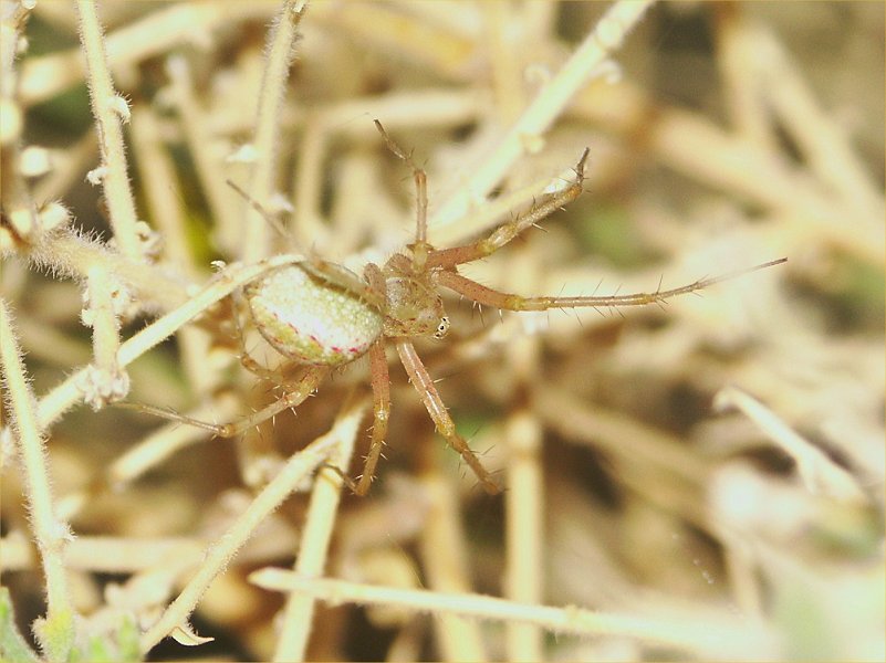
In the afternoon we drowe back north to Wadi Handal, where we spent a leisurely afternoon and evening among the green vegetation. It is amazing that the valley was still green two and a half years after the fertilizing rain of August 2005, though the abundant insect life observed in October 2007 was much diminished, only the black Trachyderma hispida beetles were in abundance (over a dozen crawled under my tent during the night, to sprint away when the tent was taken down the next morning). A previously unseen visitor was a black swallow, tirelessly roving circles around the large acacia in the middle of the valley, catching the irritatingly abundant flies. A single small spider of a previously unnoted species was seen in one of the Crotalaria thebaica shrubs, a far cry from the thriving life noted five months earlier.


Day 9. Jebel Uweinat - Wadi Sora
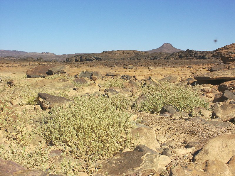
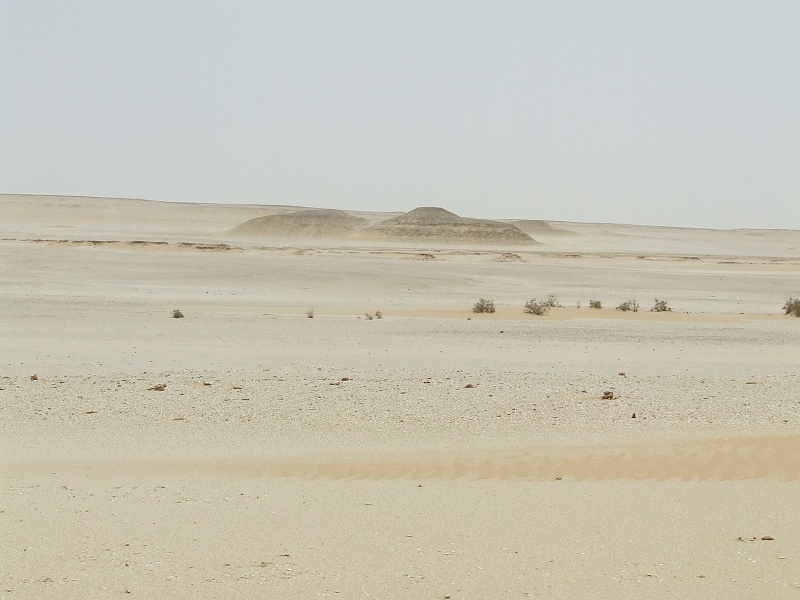
In the morning we set out north towards Wadi Sora, stopping at the carboniferous fossil locality at Clayton's Craters we found in October 2007. Aside the dominant aff. Pecopteris fern species, this time several good aff. Cordaites examples were found.

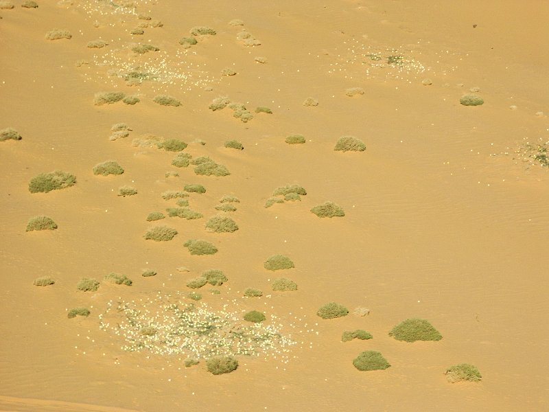
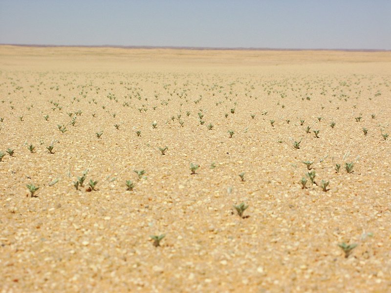
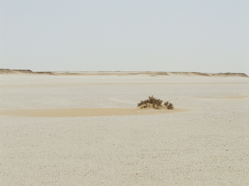
As we were passing along the sand plain along the western edge of the Gilf, at several locations we have encountered an astonishing sight - large areas were full of green shoots, which on close look proved to be all Erodium glaucophyllum. Apparently the rains that showed their trace in the lower Ard el Akhdar extended well into the plains as well. An interesting side observation was that wherever the sand was covered with vegetation, the previously firm, hard sand became very soft, we had to drive in third-second gear where previously we sped along unhindered in fourth.

We reached Wadi Sora by midday, and spent the afternoon visiting the main rock art sites, and the lesser ones in the adjoining valleys.
Day 10. Wadi Sora area
In the morning we visited the sites to the north of Wadi Sora, including the major Western Gilf (WG) 21 shelter. After lunch, we proceeded north past "Bab el Masr" to an area west of Mushroom Rock, which was never previously explored. Satellite imagery showed a broken country with hills and wadis, a promising area for further rock art finds. The area proved to be beautiful, with low hills surrounded by deep red sand, however proved to be void of any paintings or engravings.

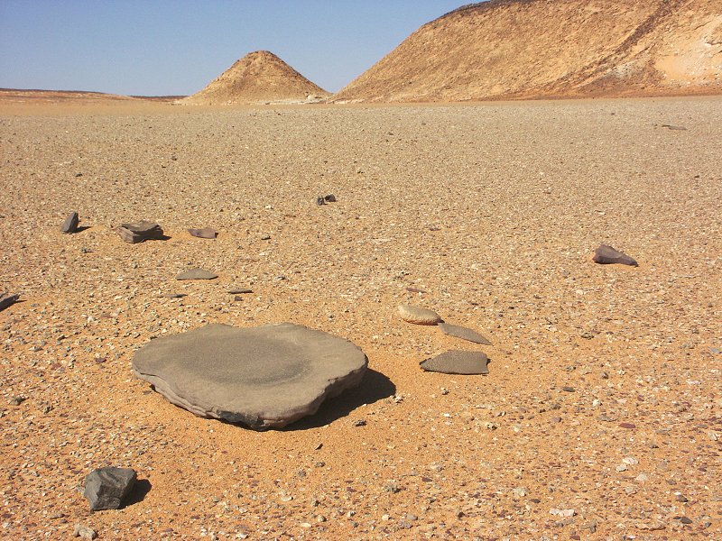
There were ample of traces of prehistoric inhabitants however, we saw a large acheulean handaxe, and numerous grinding stones and implements near a dried up lakebed.
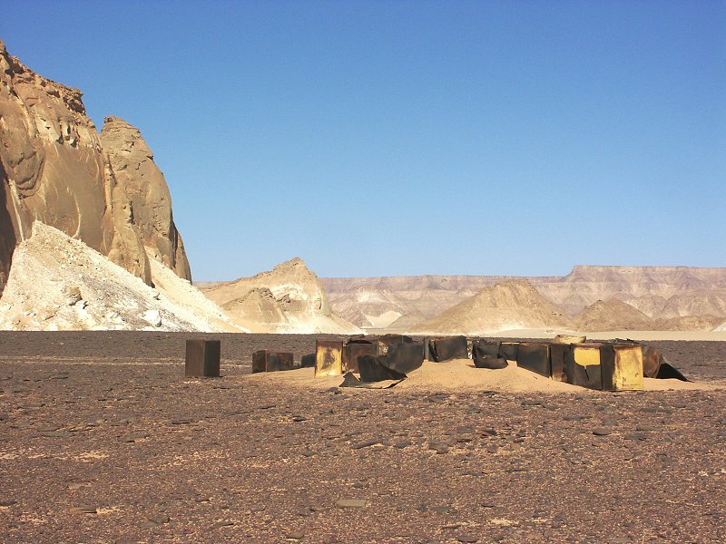
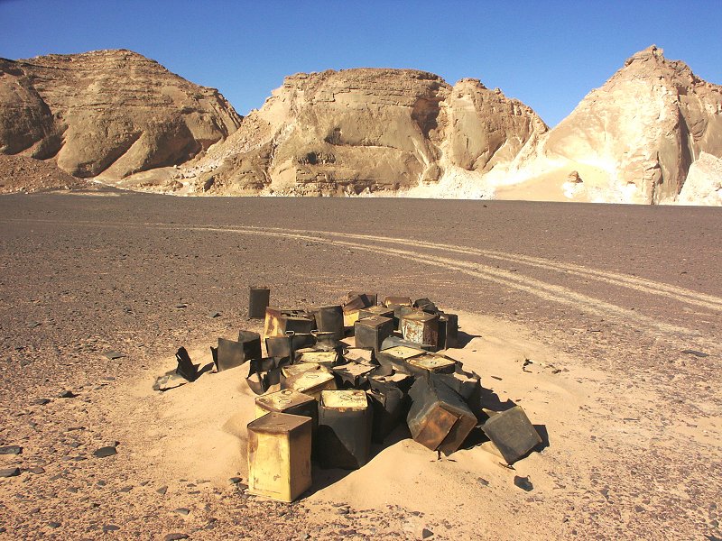
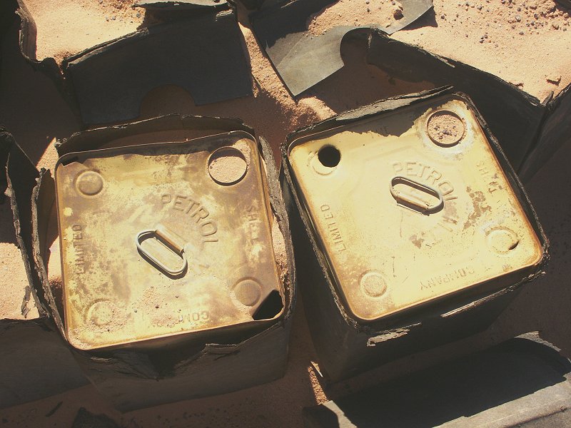
On our return to Wadi Sora, near "Bab el Masr", along the tracks of the SDF Kufra convoys, we found a dump of empty petrol tins that were in their original cardboard boxes, something we have never seen before. Obviously with wood being in short supply, the original wooden crates were replaced with cardboard at some period between 1941-42.
Day 11. - Wadi Sora - Wadi Hamra
In the morning we retraced our course past the cliffs of the Gilf towards the Aqaba pass.


After ascending the pass without trouble, we continued in the 'Gap', the broad valley separating the two halves of the Gilf Kebir. As we neared the center og the 'Gap', we could hardly believe our eyes. Vast parts of the sandy valley were as green as an alpine meadow, filled with closely spaced shoots of Erodium glaucophyllum.
Where the 'Gap' broadens and is filled with the tongue of dunes, a new species, Eremobium aegyptiacum appeared on the sand, sporting pretty white flowers. The going became extremely difficult anywhere where plants grew out of the sand.

We crossed the 'Gap' dunes without too much difficulty, and drove in to Wadi Hamra, reaching camp by mid-afternoon. It was evident, that there was recent rain here too. the main watercourse was full of fresh green shoots, at most a few weeks old.

Soon after sunset an ominous dark cloud appeared on the northern horizon, and started closing in with alarming speed. In a few minutes the wind picked up, and soon a full blown dust storm was upon us, accompanied by a good ten degree drop in temperature. It was a cold, dusty and rather miserable evening, accompanied by a restless night in the wildly flapping tents.


Day 12. - Wadi Hamra - LDG area
Fortunately by the morning the storm subsided and the dust settled, however it remained refreshingly cool after almost a week of scorching heat. In the morning we visited the rock art sites of Rhotert, where the vegetation was even more abundant. The vegetation was full of adult locusts, which took to the air in great swarms as one approached.
The side wadi joining at the rock art sites was observed to have been green by Khaled in August 2007, suggesting a localised rainfall in the spring of 2007. Some of that mature vegetation was still green, it was very interesting to note the juvenile and mature specimens of the same species side by side, in some cases the only possibility to identify some of the previously unseen plants.
Late morning we visited the rock art sites in the lower course of the valley, then started our drive north to the Libyan Desert Glass area, reaching it by late afternoon.
Day 13. - LDG area - Great Sand Sea
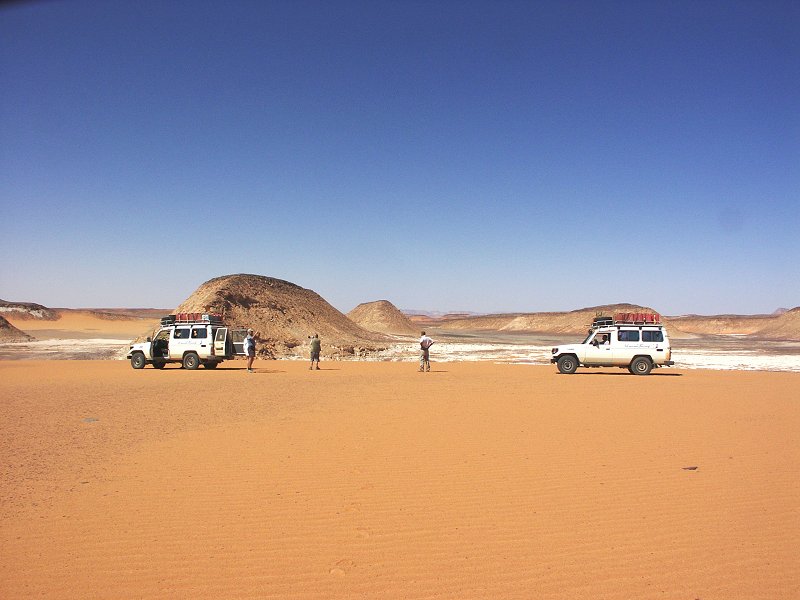
After a morning prospecting, we started our journey north towards Siwa accross the Great Sand Sea.
We skirted the great dunes to the west, passed Clayton's 'big cairn', and camped at the first major dunes following the flat tongue of serir that juts in from Libya.


Day 14. - Great Sand Sea
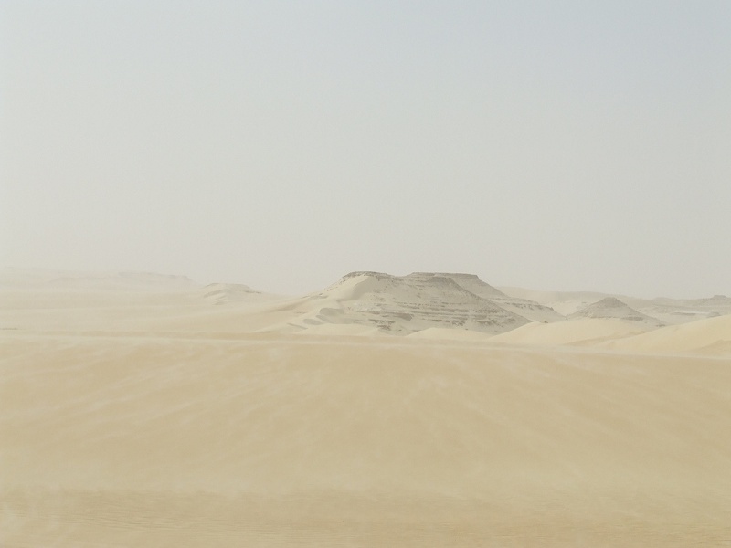
Our plan was to make a leisurely crossing of the dunes northwards, and camp about 60-70 kilometres south of Siwa, in the area rich in miocene marine fossils. However by mid-morning an unpleasant easterly wind started blowing, turning into a full fledged sandstorm by midday.

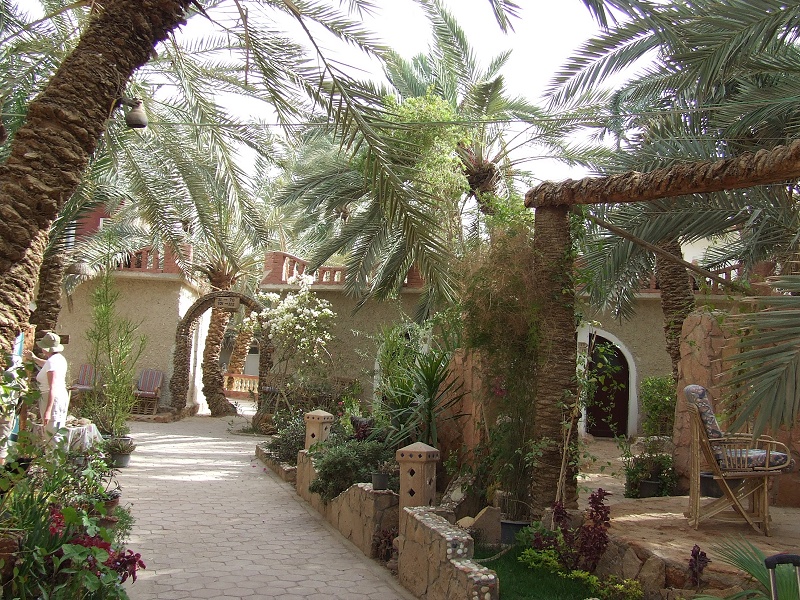
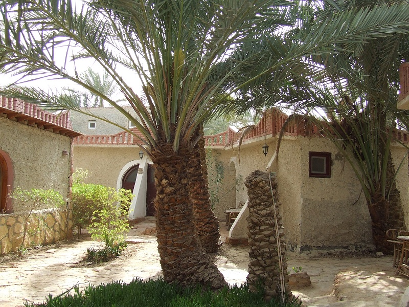
With Siwa being just an hour distant, and the weather being outright miserable, we decided to get in to Siwa a day early, and spent the night among the sheltering palm groves of the aptly named Siwa Paradise Hotel.
Day 15. - Siwa - Baharia
With an extra day left, and the wind subsiding somewhat, we decided to take the Siwa - Baharia road, and stop at some of the depressions along the way, leaving the option to camp out or stay in Baharia on the weather. The rumors that the road is being re-surfaced (or rather a new road is built) is partially true, sections of the prepared but unpaved new road are ready (but already horribly corrugated), with a few kilometres of fine pavement appearing at completely odd and unpredictable intervals. However most of the road is just as bad or worse as when we last traversed it in 2003, the 440 kilometres took practically a full day.


We made a brief stop in the Areg / Sitra basin, however the weather did not improve, by midday it was the same blowing sandstorm as the day before. We continued to Baharya, staying at a pleasant local 'Safari camp'.
Day 16. - Baharia - Cairo
All that remained for the last day was the final drive to Cairo, with half the planned distance covered, even with a late start we were in bustling Cairo by early afternoon, in time to pay a visit to the Egyptian Geological Museum, one of the best kept secrets of Cairo (it doesn't even have a website). In a rather nondescript former warehouse on the way to Maadi, there is a wonderful collection of various rocks, minerals and fossils (including a large collection of the famous Fayoum fauna), most of them collected in the first part of the last century by members of the Survey of Egypt who also feature prominently in the early exploration of the Libyan Desert (Beadnell, Ball, Murray, etc.). The museum also houses the first Libyan Desert Glass specimens collected by Clayton in 1933. Entrance is free (again something totally unusual in Egypt), the guards were totally astonised to see visitors. We had the whole place to ourselves for over an hour.