
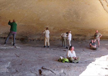
 Click on image for list of participants |
Rock Art of Namibia 12th - 30thJune, 2026 Site references based on numbering system of Harald Pager (Upper Brandberg) and Ernst-Rudolf Scherz False colour images processed with dStretch, a freely available software developed by Jon Harman |
Day 0. - Windhoek
This year arrival logistics was a bit more challenging than usual, with George and Cec arriving a day early to recover somewhat from jetlag, Colleen and Dan already there spending a week driving about Namibia before our trip, Eli & Harry driving up from Cape Town, and Helen taking a flight on the morning of our departure. Those of us already in Windhoek the day before spent the night at the Mercure Hotel (former Safari Court) with a nice dinner at Joe's.
Day 1. - Windhoek - Ameib
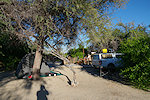
Helen arrived as planned early morning, by mid-morning we were ready to roll with our two camper pickups. We agreed to meet Eli & Harry at the Okahandja Country Hotel, with the dual carriage motorway now complete till Okahandja it was a quick drive, getting to know each other around the lunch table. In the afternoon we continued to Ameib, with the necessary stop to fuel and some supplies it was late afternoon by the time we settled into the rooms and campsite.
Day 2. - Ameib
After breakfast we made a quick start, visiting the "Geisterkampf" (ghost-fight) site of Scherz figures before it comes out to the sun for the rest of the day. The curious archer figures are very faint, they can be hardly made out with the naked eye, once the sun shines on them they become completely invisible.
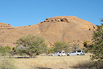
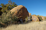
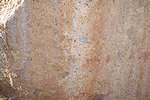
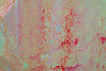
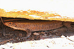
Later in the morning we set out to the principal Ameib site, Philipp cave (so named after the owner of the property at the time when the Abbé Breuil visited and made the copies). We spent a long time at the cave, taking photos and just marveling at the panels. It turned out the cave now has a resident guardian, a big Giant Plated Lizard that is living under a rock right at the cave entrance.
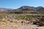
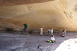
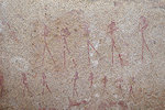
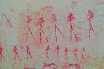
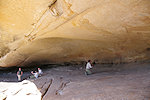
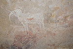
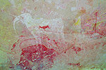
We returned to the guesthouse for lunch and a little rest, then started out again to the other Ameib highlight, Jatow Grotte, located at the north-eastern corner of the property. Again we spent a long time looking at and photographing the panels, taking in the innumerable details.
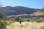
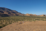
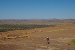
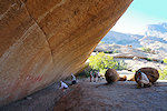
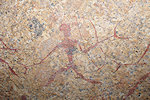
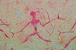
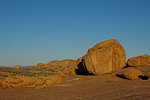
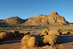
By the time we returned to the cars sunset was approaching, we finished the day at the spectacular group of granite boulders referrerd to as "Bull's Party" near the Klein Ameib spring.
Day 3. - Spitzkoppe
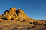
In the morning after breakfast we made the short drive to the Spitzkoppe, arriving just in time to still be able to make the steep climb up to the "Bushmans Paradise" site still in the shade.
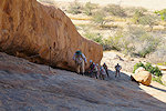
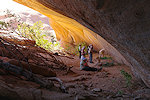
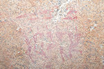
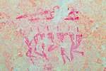
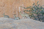
It was close to midday by the time we finished taking photos and made our way back to the cars. As we drove to one of the campsites to have lunch we passed a small group of klipspringers resting on a rock just by the road, completely unperturbed by the passing cars.
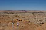
Taking time with lunch we reached the "Sphinx shelter" (so named by Breuil, nowadays more called "Small Bushmans Paradise") well after the sun moved behind the rock, with good shade for photography.
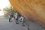
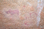
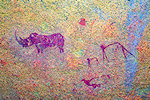
In the afternoon we drove to the Klein Spitzkoppe, to visit the principal sites recorded there by Breuil. We started at the "White Ghost Shelter", best known for the strange group of white figures inside a deep recess, but there is also a large panel of unfortunately quite weathered paintings in the shallower part of the shelter.
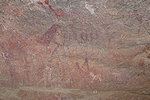
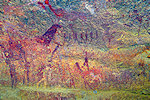
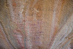
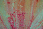
We ended the day at the "Fine Giraffes shelter" to a nasty surprise. Since our last visit three years ago the site had been heavily vandalized, most of the lesser panels have been covered with charcoal graffiti. At least the fine giraffe have been spared... After a quick stay we returned to the Spitzkoppe Tented Camp at Grosse Spitzkoppe for the night.
Day 4. - Spitzkoppe - Omandumba West
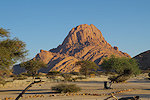
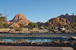
We had a rather leisurely morning in the Spitzkoppe Tented Camp, taking breakfast and packing up camp. The place had been substantially upgraded since our last stay, with more and better facilities and a good restaurant.
Mid-morning we left Spitzkoppe, heading back towards the Erongo. Along the way to Omandumba we stopped at the small rock art site of Tumib (Scherz 99) just off the road. It is not very spectacular, but it was a good excuse to stretch our legs a bit.
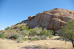
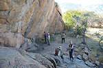
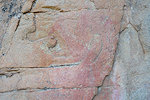
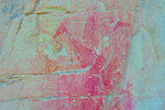
We reached the Bush Camp at Omandumba by late morning, before lunch we still had time to visit the principal site of Omandumba West ("Torchbearers rock", Scherz 131/N) before lunch.
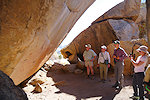
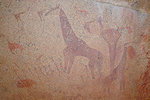
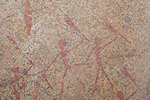
In the afternoon we made a round of the cluster of sites along the southern edge of the property, starting at "Tiara cave" (Scherz 131/M), then continuing eastwards along the edge of the steep granite slopes.
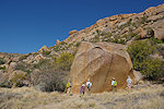
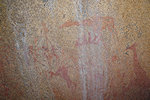
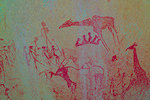
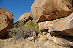
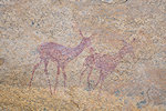
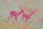
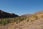
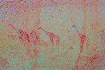
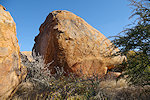
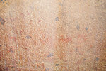
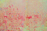
In the southern valley of Omandumba West there was one site (Scherz 131/E) which I have failed to find, mistaking some others for it before realising the error. Scherz marked it as a boulder somewhere above 131/D, we climbed up to the granite terrace to search for it. At first we found nothing at the likely spots, but returning towards site D among the boulders a very likely rock face came briefly into view in the distance, on approaching it turned out to be the site we were looking for. The rock has two large panels of paintings on the north and south sides, the south site ones being better preserved.
Day 5. - Tsumib & Springbokfontein
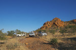
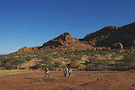
Our plan for the day was to make a day-trip visiting the sites north and east of the village of Tubusis along the western edge of the Erongo. We made an early start to reach the site of the giraffe headed therianthrope while the northern face of the rock is still in the shade. With 4wd vehicles we could follow a rough trail that got us much closer than achievable with a minibus, we just made it with a couple of minutes of shade left over the panel before sunrise over the ridge separating us from Omandumba.
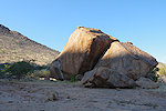
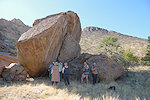
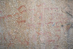
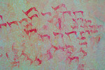
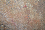
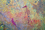
After the photo frenzy at the threrianthrope subsided, we made the walk across the valley to the prominent big boulder on the far side, which with a dozen distinct panels of paintings on all sides, plus on the adjacent boulders, is one of the biggest sites of the Erongo. Scherz remained unaware of it, it was only found by Harald's father Herr Rust sometime in the nineteen eighties together with the giraffe headed therianthrope.
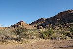
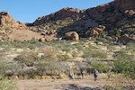
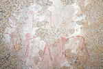
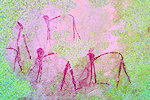
After a long time at the boulder panels we walked back to our vehicles and made the short drive to Tubusis, taking the trail towards Springbokfontein in another broad valley separated by a granite ridge from Omandumba. We headed to site 98/O, a large rock that offers good shade at noon and is a perfect lunch spot. Later in the afternoon we continued along the row of other Springbokfontein sites.
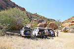
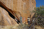
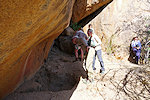
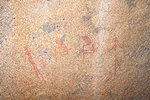
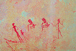
On our return we made a brief stop at the Springbokfontein spring, which now was completely dry despite the abundant rains of the previous season. Strange, and we have seen it flowing previously under much drier conditions.
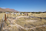
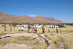
Driving back towards Omandumba we made a small detour to look for a still missing site at the area Scherz called Kamelnek, apparently not after the shape of the mountain as I originally thought, but after the small nearby village which no longer exists. In 2023 with Uwe we found some of the sites, but we were short on time and could not cover the whole area. Based on the Scherz map and description I had the likely boulder of 97/D identified on satellite imagery, we drove straight towards it at the foot of the granite slope, the terrain forcing us to stop a mere 50 metres short of our target. I had the Scherz book with me, but with no German speakers around we had some difficulty in reading the description of the site. While the rest of us struggled with the text Harry went walking about, and within a couple of minutes he returned asking whether we are looking for paintings with a giraffe, as if so it is on the side of the adjacent boulder. It turned out that we stopped right next to the panel.
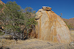
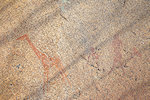
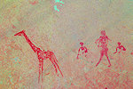
We ended the day at the large prominent boulder well visible from the D2315 road leading towards Omandumba, on which we found a splendid panel of paintings 2019. This site, although definitely among the major ones, seems to have been strangely missed by both Breuil and Scherz despite the obvious location, though they recorded many other sites in the vicinity.
Day 6. - Omandumba West - Ekuta
Those of us spending the night at the "Cave" campsite awoke at dawn to the amazing spectacle of a huge fog bank slowly flowing in to the valley, slowly filling it and engulfing camp, with the temperature dropping a good ten degrees to a rather chilly awakening.
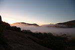
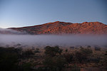
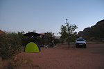
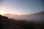
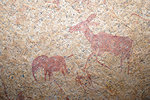
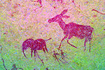
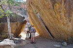
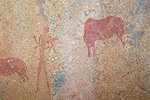
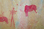
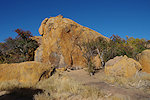
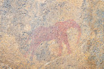
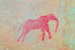
After breakfast at the Bush Camp we returned to the Südtal with Deike & Harald (owners of Omandumba West) to check out the site (131/E) that we found two days earlier, as Harald was not quite sure if he knew it or not. It turned out he did, but this was also a good opportunity for him to show us a few lesser sites which I was not aware of. The first was a small rock with some faint paintings including two recognisable elephants near 131/D, the other Scherz's 131/C on the far side of the road, which I have searched for (at the wrong spot) earlier but could not find.
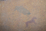
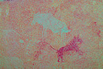
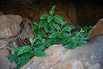
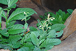
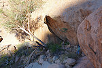
We also made a visit to Leopard cave, which was on the must see list of Helen on account of the excavations done there. Harald also showed us a splendid cluster of African Wild Tobacco (Nicotiana africana) plants that were growing in a small crevice nearby. This very rare native African plant (not to be confused with the invasive wild tobacco Nicotiana glauca originating from the Americas) is endemic to the Spitzkoppe - Erongo region, growing in sheltered (and often inaccessible) crevices in the granite where moisture can accumulate. I am not aware of any study that would suggest it was ever used as a stimulant like regular tobacco.
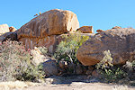
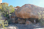
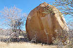
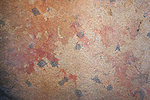
On our return to the Bush Camp we stopped briefly at Scherz's site 131/A near "Torchbearers rock". The boulder is well visible from the road, I have passed it many times, but somehow there never was an opportunity earlier to actually stop and visit it.
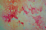
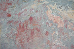
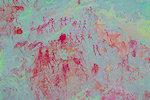
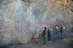
After a quick lunch we made the one and a half hour drive to Ekuta at the centre of the Erongo, where Karl & Helga Hinterholzer were waiting for us. Karl made his usual fascinating talk on the ancient bushmen and the paintings at the farmhouse, then drove us in his battered Land-Rover to Ekuta cave, but being close to ninety he no longer made the climb up with us. As usual it was a lengthy photo session at the magnificent site, arguably one of the finest paintings in Namibia.
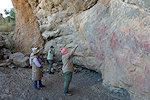
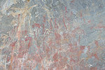
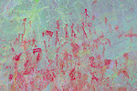
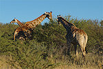
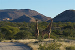
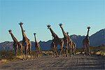
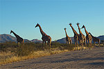
On our way back to the Bush Camp we had several giraffe encounters, the finest was the resident Omandumba herd walking down the road towards us in the perfect late afternoon light.
Day 7. - Omandumba - Uis
This time there was no fog, we awoke to a crisp but sunny morning. While the others packed camp before heading to the Bush Camp for breakfast, I made a quick foray to the nearby 131/I1 site which Harald pointed out the previous day. This site was noted but not copied by Scherz, it contains a fine panel of elephants which are all but invisible for most of the day, except for a short 30 minutes after sunrise while they remain in shade.
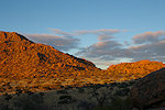
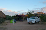
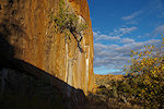
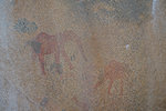
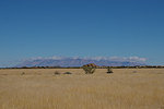
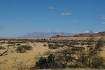
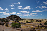
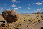
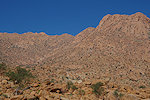
Mid-morning we departed Omandumba towards Uis, taking the road via Okombahe. Our target was the cluster of low granite koppies at Kaukausib, about 20 kilometres before Uis, where Scherz recorded a number of sites (Fundstelle 81). From the turnoff there was a splendid view of the Brandberg on the horizon. The mountain was covered with clouds, a rather unusual sight for the season.
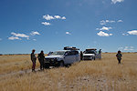
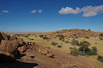
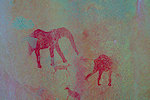
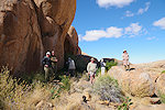
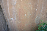
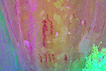
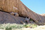
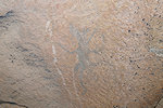
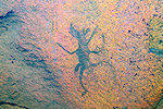
We had our lunch beside the most prominent koppie, then set about to explore the scattered paintings on the sides of rocks and a few shallow shelters in the very impressive landscape. One of the most interesting figures here is a rhinoceros headed therienthrope, the only parallel I am aware of is at the Minendam site at Ameib.
We reached Uis by mid-afternoon, settling in to the Brandberg Restcamp. After a week of being on the move almost non-stop, it was nice to spend the remainder of the afternoon just doing nothing around the pool for a change.
Day 8. - Brandberg,Tsisab Gorge
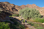
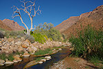
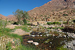
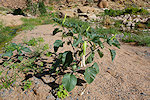
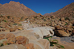
After an early breakfast we made the 45 minute drive to the Tsisab Gorge entrance to be able to make the walk to the "White Lady" site in the cool of the morning, before the valley turns into an oven. On arriving, we found the landscape completely rearranged, large parts of the road was washed away and the car park lapa was partially collapsed, apparently there were so heavy rains that the beams could not support the waterlogged thatch. As we started walking towards we found that the trail too was washed away, the Tsisab river was still flowing to well below the ticket office, and there were many new footpaths and detours, with stepping stones to cross the water. Near the river the ground was covered in places with bright green datura plants (Datura innoxia) with pretty white flowers and deadly ripening seed pods.
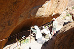
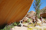
We reached the "White Lady" site just in time to have it fully in the shade, but the viewing platform was already fully on the sun, not helping photography. We met a couple of other parties while there, allowing them to take their turn on the platform before resuming taking photos. It was a lengthy session until everyone was satisfied with all the details and we were ready to move on.
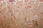
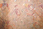
We continued past the white rocks of the waterfall to the Tsisab Island sites. We found the path to be badly overgrown, with a dense patch of reeds blocking our way at one point, needing to fight our way through. We had our lunch at the Jochman shelter, returning to the cars by late afternoon.
Day 9. - Uis - Messum Crater
In the morning we did our shopping at the Brandberg Supermarket to stock up on supplies, as we were to be camping with no facilities for the coming two nights. Mid-morning we started out skirting the Brandberg along the West-Brandberg road till the Messum turnoff, then following the track west. Here we encountered the first Welwitschias, including the first fruiting female plant I have seen in a very long time in the area.
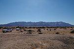
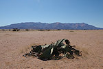
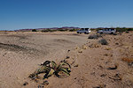
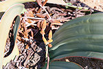
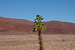
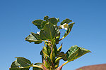
We continued along the track following the Messum riverbed towards the centre of Messum Crater, parking at the sole rock art site in the shelter along the side of the prominent granite hill in the middle of the circular plain. Along the way in the riverbed we encountered green and flowering White Djirrie (Rogeria longiflora) plants. Their dried stems covered with the spiny pods are everywhere along watercourses, but these were the first I have seen in a live state.
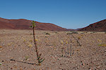
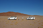
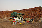
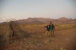
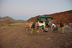
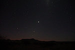
In the afternoon we re-traced our tracks back to the West Brandberg road, continuing for some distance before turning off again, choosing a suitable campsite in the lower courses of the Domschlucht. It was a rather cool evening, unfortunately the sun set into clouds over the Atlantic so we did not quite have the spectacle of the Brandberg turning to the bright red colour that gave its name, which we hoped for. That night there was also a celestial spectacle, with Mercury, Jupiter and Venus perfectly aligned on the western horizon. Unfortunately what we thought to be Mercury was a fainter star, Mercury was well below the horizon by the time it was possible to see the other two planets.
Day 10. - Mikberg
After packing camp we continued along the West Brandberg road (D2342) till the junction to the West Brandberg mine and the Save the Rhino Trust camp, passing the amazing contorted rock formations on both sides of the Ugab river.
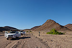
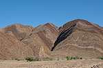
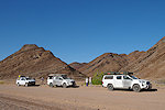
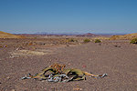
We continued north along the 4wd trail, reaching the flat plains to the south of the Mikberg, with more Welwitschias and curious polished boulders that were used by rhinos as rubbing stones repeatedly and for a long time.
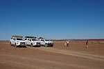
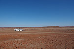
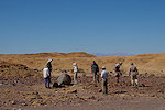
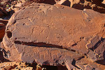
The trail circumvents the Mikberg to the west before turning east to the centre of the mountains with the secluded valleys and rock art sites. We entered Moringa valley (so named for the two moringa trees at the entrance) and soon eached the first engraved panel (Breunig 125) on a slab by the edge of the valley.
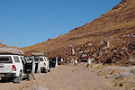
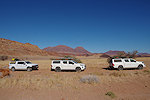
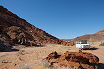
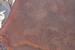
We made camp near the southern end of the valley, and spent the rest of the afternoon visiting the fine cluster of engravings (Breunig 106-107) nearby, with the panels illuminated by the low afternoon light.
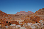
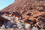
Day 11. - Mikberg - Twyfelfontein
We spent a very pleasant relaxed morning at camp in the solitude of the Moringa valley, then packed the tents and gear and drove out of the Mikberg towards the north, then taking the 4wd trail towards Twyfelfontein. We stopped at Scherz's "Adam und Eva" site (Scherz Fundstelle 40, Breunig site 120), with the nice couple and many other animal figures, one of the best known paintings in the Twyfelfontein area.
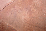
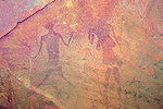
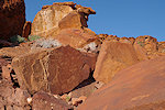
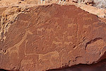
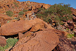
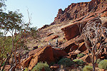
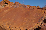
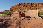
We arrived at the Mowani Campsite early afternoon, took a quick lunch and with two vehicles drive to the main Twyfelfontein site for a long leisurely walk among the panels of engravings. This was my first afternoon visit there after two decades of regular visits, some of the panels which I have only seen in shade were now in a perfect light. We also noted that there is less and less remaining of the old farmhouse, a few more rains and all that will be left is a pile of dirt and the protective railing put in place to prevent visitors doing damage.
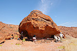
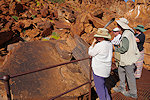
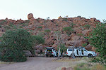
It was late afternoon by the time we returned to our campsites to spend the last evening together before dispersing the following day.
Day 12. - Twyfelfontein - Windhoek
Our party already separated in the morning, with Colleen, Dan & George continuing for a four day trip to Etosha, while the rest of us returned to Windhoek via Uis and Omaruru, Cec flying out that evening, Helen the following morning, while Eli & Harry started out on the long drive back to Cape Town.
Day 13. - Windhoek - Uis - Tsisab Gorge
I still had a week to go till the start of the Zimbabwe trip which I intended to use to explore the area which was to me the last remaining blank spot on the upper Brandberg. In 1984 Harald Pager documented a number of sites on the terraces just below the Zisabspitze, a very isolated part of the upper mountain cut off from all other areas by the Tsisab Gorge and the Sesaub Gorge / Baswaldrinne. The way up looked relatively simple, take the Leopard valley leading up from the white rock of the waterfall towards the left just above the White Lady site. The previous September I visited the Heinrich Barth Institut in Cologne, and managed to find in the archives the site plans and marked aerial photo of Pager, so I had a good idea of the location of the sites.
In the morning I swapped the big Hi-Lux pickup for a small Volkswagen, and drove back to Uis, leaving my unneeded gear at the Restcamp before continuing to Tsisab, seeing a large herd of Springbok along the way, the first sighting of any game around the Brandberg in a long time.
I met Otja at the Tsisab entrance. Given that we could not foretell if we would find any water or not, and four days will be needed to make the climb and cover all the sites, so this time I also engaged a porter to carry extra water that sparingly would last the four days. Otja and Samuel preferred to spend the night in the village rather than camping out, so we agreed that they will catch up with me at first light, while I walked in the Tsisab till the waterfall above the White Lady, to be able to start the climb straight after waking up.
Day 14. - Tsisab Gorge (Leopard Valley)
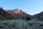
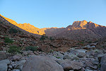
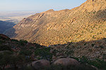
I did have some concerns about being able to start at first light, but just as I started stirring in the sleeping bag and could discern the rocks of the horizon, I saw lights approaching, Otja ad Samuel arrived exactly on the agreed time. Without much ado I loaded my backpack and we set out, to be able to make as much as possible of the climb while shade lasts. Our starting point elevation was at 630 metres, with the col at the high end of the valley at about 1930, we needed to gain 1300 metres to the top (a good 200m more than the climb we needed to do in the Sonuseb Gorge the year before. With the early start and no sites to search for along the way, we were hoping to make it to the top by sunset. At first we followed the main watercourse of the Leopard Valley, making detours as needed around cliffs and waterfalls. Soon the sun rose and illuminated the high peaks.
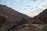
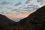
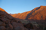
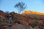
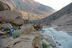
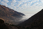
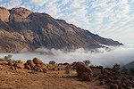
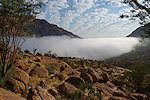
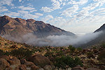
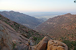
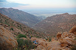
About two hours after we started (around 8am) we witnessed an amazing spectacle, fog rolled in to the Tsisab from the East, slowly filling the valley and rising almost to our altitude (already a good 250m above from where we started), accompanied by a rather cold wind. The fog lingered for about an hour before slowly dissipating in the heat of the sun, though the sky remained partially overcast.
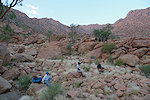
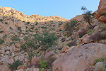
By 10am we reached an altitude of 1000m, the part where the valley started to rise steeply, and we also found unexpectedly a pond with good water. From here our progress slowed but remained steady, with a series of smooth granite plates offering a good if steep way up. Our midday rest was at about 1250m, at the base of the steepest section of the climb.
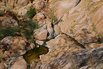
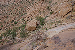
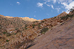
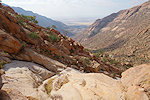
About half-way up the valley a large cliff blocks the way in the watercourse, one must make a detour towards the left or right. The right looked better on satellite imagery, for a while we could continue on rock but soon we had to climb on loose scree slopes, a very difficult and unpleasant way. We re-joined the riverbed two hundred metres below the col we were aiming for, but found the going impassable with huge boulders, requiring a number of returns and detours as we searched for a passable way on the slope. This last stretch turned out to be so difficult that it soon became clear we will not be able to make it to the top before dark. As we climbed on, we started to look for any suitable patch to spend the night, not an easy task where no level ground exists. Finally I found a reasonably flat rock with 'just' a five metre drop on the side, while Otja and Samuel made their bivouac on a small flat patch at the base of a butter tree a little further upslope.
Day 15. - Zisabspitze
Sometime in the night I awoke to the sound of big raindrops hitting the rocks and the sleeping bag. At first they were sparse, but soon they increased to a proper rain. I had my lightest down sleeping bag with me, becoming wet would render it useless, I had no choice but to take the foam mattress from under me and use it as a cover the best I could until the rain stopped, mindful of the five metre drop if I roll too much... This happened at least three times, with water flowing over the rocks after the third, fortunately I could remain reasonably dry. This rain was totally unexpected, it was already well into the dry season, we have never seen any rain on the Brandberg in June in the past 15 years.
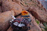
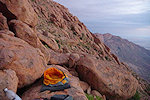
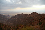
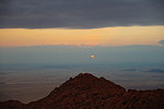
It turned out we would have needed just one more hour the previous evening to reach the col, we were through the worst part and by 7am we were up at a point where a small riverbed reached the edge of the steep slope. The dark clouds that were with us since dawn thickened, and there was a brief rain shower just as we reached the top, serious enough to take cover under a large rock.
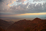
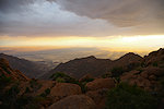
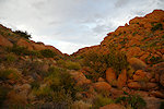
Beyond the col the ground flattened, with good going in the sandy riverbed, the only ground free from the thick vegetation. In places we found damp spots, clearly the river was flowing not long ago. The weather remained gloomy, as we reached the flat grassy basin with the first rock art site, it started to rain again, this time quite heavily, making all the rocks and the ground wet
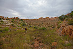
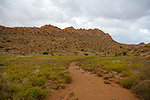
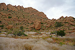
We waited a good 15 minutes in the shelter of the big rock at the edge of the plain for the rain to stop, once it turned into a drizzle we went to the rear of the block where a cluster of rocks formed a shelter, with Z14 on the two blocks forming the walls. It was a relatively minor site with a number of not particularly well preserved human figures.
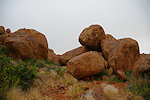
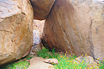
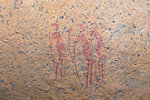
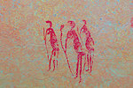
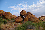
By the time I finished taking photos the clouds started to dissipate, we could even see patches of blue sky. We continued towards the next site across a ridge to the west, from the top we had a superb view over the Königstein and the Scherz Basin where we made our descent last year.
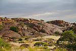
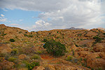
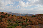
Site Z13 was again not a particularly exciting one, with three panels of paintings on three separate rocks, with the lower two a quite steep climb down from the first.
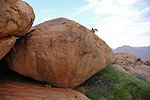
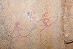
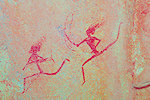
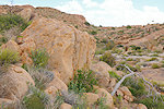
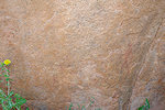
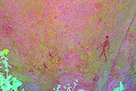
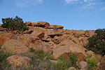
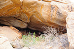
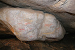
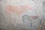
Site Z8, the main reason why we made this difficult climb, was just a couple of hundred metres further, along the north face of a low granite ridge. This is clearly the main site of this cluster under the Zisabspitze, a large spacious cave under the ridge with access from both sites (and hence always a fresh breeze), and one of the few sites of the Brandberg where no dStretch is needed to appreciate the paintings. Entering from the north, at the left of the cave there is a painted block with a striking perfectly drawn zebra, with the main panel to the right on the ceiling of the shelter with a (funeral ?) scene very similar to the one at Gaaseb 12.
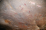
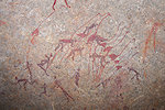
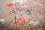
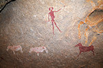
Leaving the backpack at Z8, I made it out through the tight south exit to locate sites Z11 and Z12 about half a kilometre to the south, at the edge of the terrace that drops off towards the Basswaldrinne. Z11 was straight forward, a long shallow shelter with just a few faint figures, but on the other side of the narrow valley at Pager's Fix C on the wall I found a remarkable figure of a lizard (?). Z12 proved to be elusive, according to Pager's aerial photo it was to be somewhere ~100 metres to the east, but I saw no prominent big boulder like the one on Pager's site plan. With our time limited I soon gave up the search and returned to Z8 to continue.
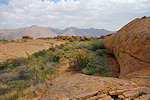
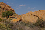
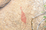
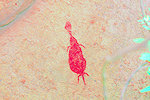
Z9 and Z10 were adjacent sites about 200-250 metres to the west of Z8, but the trek there required a steep descent into a valley then up the other side. We found both sites quite easily where marked, both were relatively minor sites with Z10 on the ridge top having seven distinct panels but each with only a few faint figures (Fix D being the most impressive), Z9 just a single panel of a few figures on a smaller block on the side of the valley facing Z10.
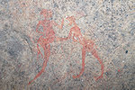
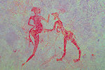
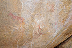
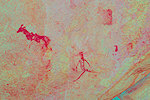
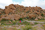
From the ridge adjacent to Z10 there was a good view to the north over the basin with sites Z30-Z32 and the Scherz Basin beyond. These sites would have required a descent of 200m, and on Pager's diagrams only a few figures were noted, so somewhat reluctantly I decided to give these a miss as getting there and back again would have taken up all afternoon. Based on the difficulty of the ascent we already agreed that we need to start making our way down in the afternoon of the following day, so we only had an afternoon and a morning left for the main cluster in the vicinity of a plain that looked like a good bivouac spot. The riverbed below Z9/Z10 led straight towards it with a series of plains along the way, passing the second we found a pool with good water, in retrospect it was quite unnecessary for Samuel to carry that 15l of water, but there was no way of knowing in advance. As we reached the descent to the last plain, we saw that there too there was a big pool of water right next to where we intended to camp, no doubt explaining the dense concentration of sites here.
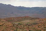
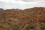
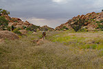
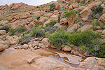
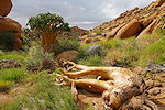
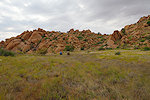
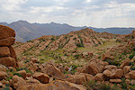
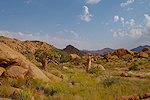
I immediately set out to search for the sites around the plain, which was far wetter than we expected (neither Jipsen nor Pager reported any water up on the Zisabspitze), there was even flowing water in the little creek. I started with Z18, Z19 and Z20, spread out over a number of rocks and a large shelter along parallel granite ridges to the west of the plain. It proved to be a quite difficult task to find all panels, while Pager's site plans were precise, many were completely overgrown, clearly no one visited these paintings since 1984. Most of the scenes were small with just one or a few figures, and not very well preserved save for a trio of men at Z20.
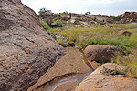
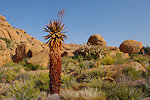
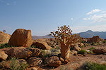
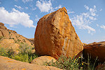
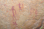
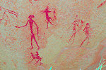
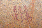
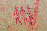
Turning back towards the plain, Z23 was straight forward to find at the eastern tip of the ridge of Z20, with an interesting scene of running archers. Z22 was not far beyond on a rock on the plain next to the creek, with just a few faint figures. As I walked to it, I spotted some fresh leopard tracks in the wet sand beside the river, probably it was watching us from its hiding place somewhere among the rocks.
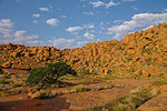
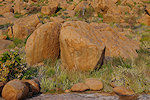
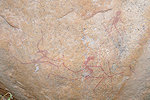
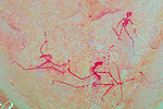
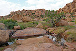
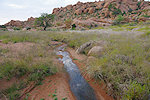
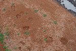
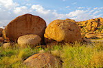
Z17 was on a rock near the northern end of the plain, a rather unexciting site with one clearly visible figure. It is interesting to compare the photo of Pager copying the panel in 1984 to the present one, in the elapsed 42 years the vegetation remained practically unchanged except for the aloe next to the rock. Pager noted two figures here on his site plan, but dStretch reveals a third to the left of the visible two.
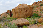
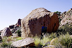
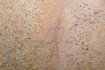
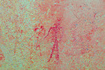
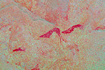
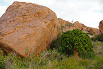
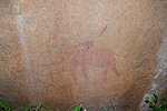
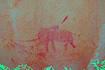
By this time it was getting late, sunset was approaching. I just had time to see Z16 right next to camp, which Otja already found while I was away. There are four panels here on several rocks, the most interesting being a fine elephant facing the plain, which turned out to be rather difficult to find, it was completely overgrown and positioned close to the ground, requiring some serious gardening to photograph.
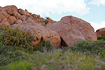
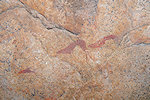
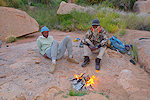
In the mean time Otja and Samuel set up their tent and a small fire in anticipation of a cold night and some possible more rain. I looked warily at the approaching dark clouds, having no tent I could only hope that the night would remain dry...
Day 15. - Zisabspitze - Leopard Valley
There was a little rain overnight, but not as serious as the previous one, by the time I woke up to the drops and considered taking cover, it was already over. It was rather cold though, needed to keep on all clothes to stay warm without a tent. At first light I got up, packed my gear and set out to find the remaining sites around the plain. There were another six to the south of the ones already seen, all within a 100m radius. The day was off to a bad start, as I failed to locate Z21 and Z25 at the indicated locations, though the site plans of Pager also appeared to correspond on satellite imagery. After wasting nearly an hour among the rocks on the difficult terrain I returned to Z26, the largest site of the cluster with 15 separate panels of paintings on a group of adjacent rocks. Some of the panels were densely overgrown, but there were still traces of trampled vegetation from Pager's visit. In the end I managed to locate all 15, but the site turned out to be rather disappointing, none of the panels had more than a few figures and most were very faint and damaged, the nicest being a herd of springbok at Fix M, and the panel of archers at Fix N.
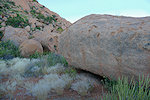
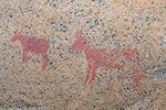
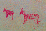
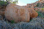
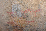
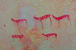
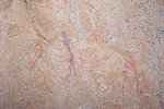
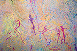
Site Z17 and Z33 were on a slightly lower lever, but well within shouting distance. The position of Z17 on a solitary rock was not very clear, and after some false starts I gave up and continued to the prominent and obvious boulders of Z33, with five distinct panels. This site too was a bit of a let-down, the best scene was a pair of human figures at Fix A, the rest were mostly unrecognisable traces.
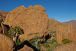
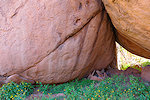
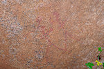
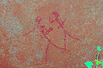
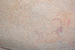
There was one more site in the area, Z25 which I deliberately left to the last as it was facing south, with no risk of getting the rising sun on the panels. This too was a minor site with just a few figures.
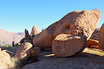
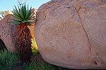
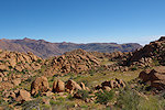
I was back at camp by 9am, well before the agreed 10. Otja and Samuel were just taking their breakfast, once they finished packing we set out back towards the col where we came up. The going was mostly uphill, we have descended a good 100 metres the previous afternoon. This morning the sky was absolutely clear, and we had a perfect view of Königstein on the far side of the Tsisab Gorge.
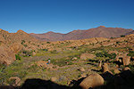
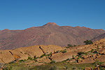
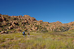
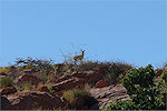
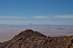
On the last and highest ridge to cross we encountered a pair of klipspringers, the only wildlife we have spotted on our four day trek. On the far side we descended into the valley with the small sandy riverbed that led us to the col and the start of the descent. By 11am we reached the edge, and after a short rest started our way down. It was an exceptionally clear morning, the prominent conical mountain of Okenyenya was clearly visible on the horizon 75 kilometres away. This time instead of tackling the bouldery slope, we tried our luck with the main riverbed, and found the way steep but passable on rather soft crumbling granite.
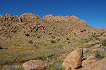
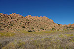
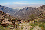
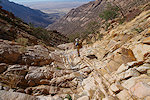
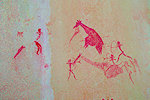
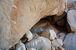
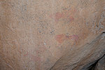
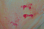
With the steep but good going we made unexpectedly fast progress, by mid-afternoon we were above the huge cliff barring further descent in the riverbed. We made a detour, and soon found that we came a bit too low, we had to climb some way up again to round the cliff. This time we took the little valley that runs down at the base of the cliff, and by 4pm we were approaching the base of the now dry waterfall. Samuel was far ahead, finding the best way, and we could soon hear him yell from below that there are paintings on the wall. Catching up, we found a large shallow shelter with a wide flat platform in front to the left of the waterfall, with some fine paintings on three distict panels.
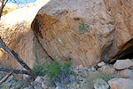
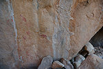
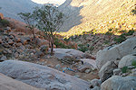
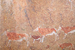
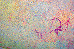
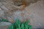
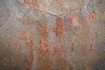
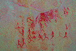
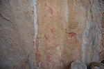
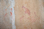
This unexpected find solved the question of where to stop for the night. There was a nice sandy patch a few dozen metres below, we decided to camp there, and I spent the remainder of the daylight photographing the panels. It does appear that we stumbled upon an undocumented site, Jipsen who made the first recorded ascent of the Leopard Valley certainly did not mention it, and subsequently both Craven and Pager made the ascent to the Zisabspitze sites from the Sesaub / Basswaldrinne side. Coming from below the cliff is exactly what one wants to avoid when ascending, and on descent one would normally pass it without looking. It was luck and the curiosiy of Samuel that resulted it this splendid find. On the left of the site there is a smaller panel with several giraffe and a fine group of archers, later dStretch revealed a very faint rhinoceros under this scene. The main panel is in the middle, with a nice giraffe hunt scene and numerous other human and animal figures. There is a small separate group of animals at the right edge of the wall, adjacent to a rough cavern under the waterfall.
Day 16. - Leopard Valley - Tsisab Gorge - Uis
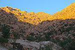
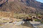
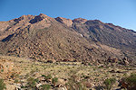
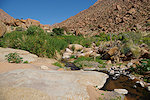
The previus afternoon we have descended almost half of the altitude (~600 metres over a horizontal distance of ~800m, a good 35 degree gradient), our camp was at 1350metres. From here the valley started to flatten, we had about 2.5 kilometres till the Tsisab island with roughly the same 600m altitude loss. Starting out before sunrise, we were down at the Tsisab island by 10am, and in another hour reached the ticket office and car park. In retrospect, we could have stayed the afternoon of the previous day up on Zisabspitze to visit the more distant sites, but after the experience of the ascent I did not wish to risk not being able to make it down in a single day. This ascent and descent was certainly the most difficult I have ever done on the Brandberg (even more difficult than the climb up to Raiders 1 from the Naib Gorge), and I'm not getting any younger either...
After saying good bye till next year to the other guides at the Tsisab entrance I dropped off Samuel and Otja at the Tsisab village and Location respectively, then settled in for a well earned warm shower and cold beer at the Brandberg Restcamp.
Day 17. - Uis - Windhoek
This last day was an uneventful drive back to Windhoek, where I spent another night before driving to the airport the following morning to drop off the car and take the Airlink flight via Jo'burg to Bulawayo to meet the others for our upcoming Zimbabwe trip.
For June 2028 we are planning a similar 12 day circuit to see a wide selection of the Rock Art sites of Namibia plus some of the natural wonders of the country, staying at lodges and guest farms along the way. Please visit the News page for any updates (or "follow" the FJ Expeditions FaceBook page).